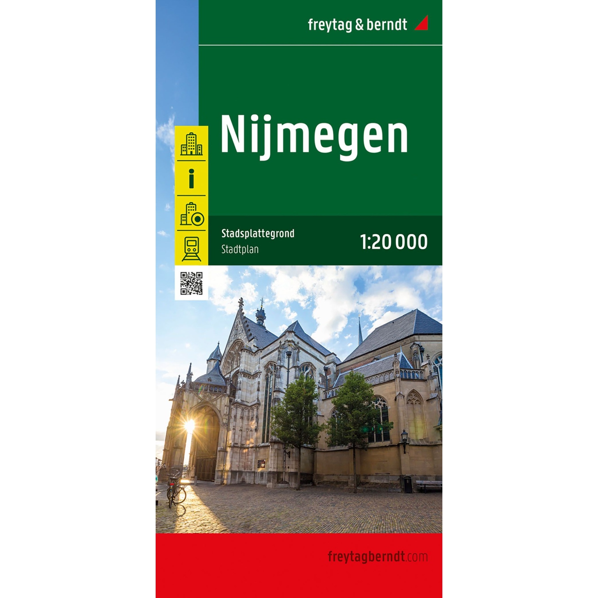
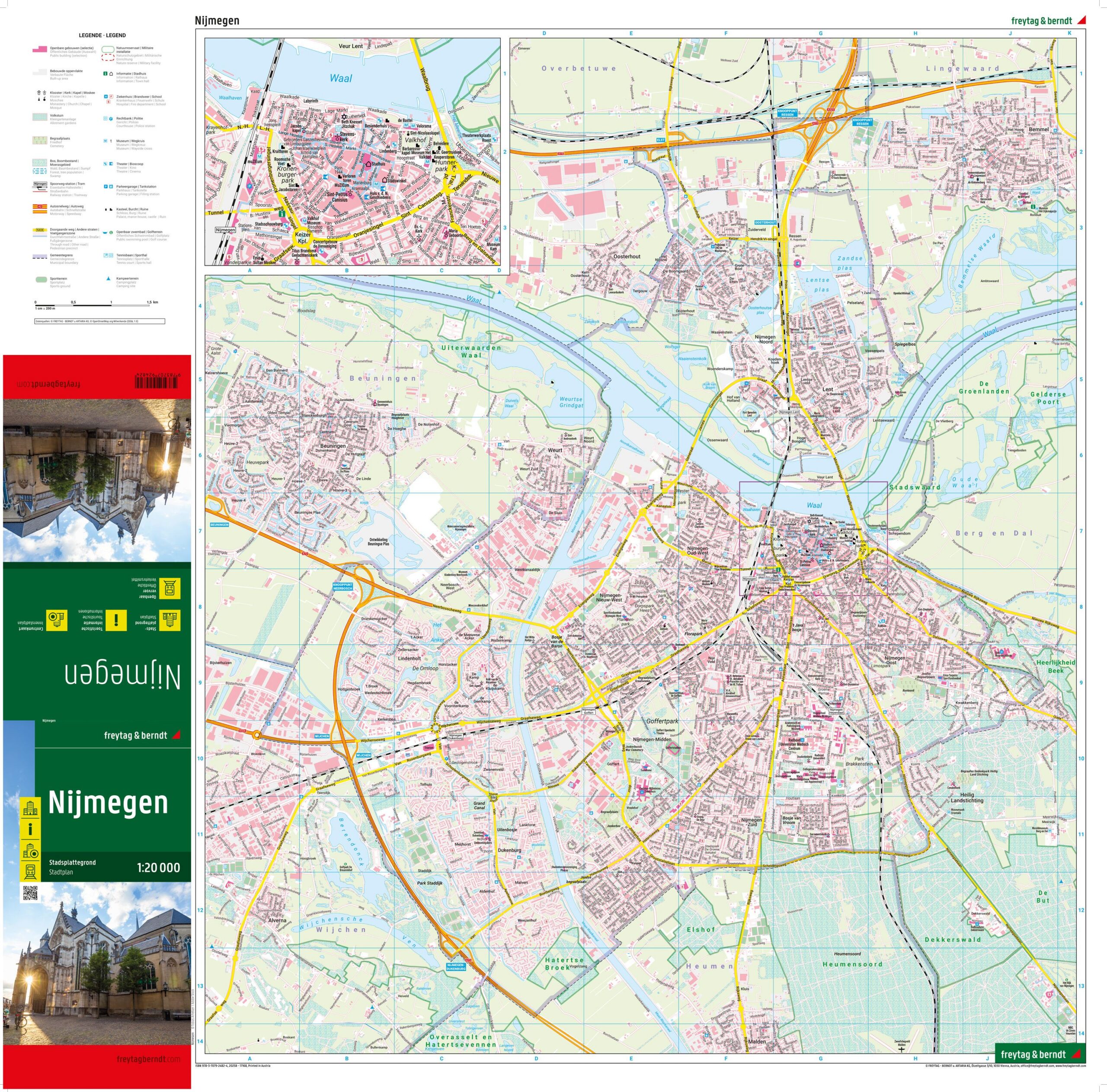
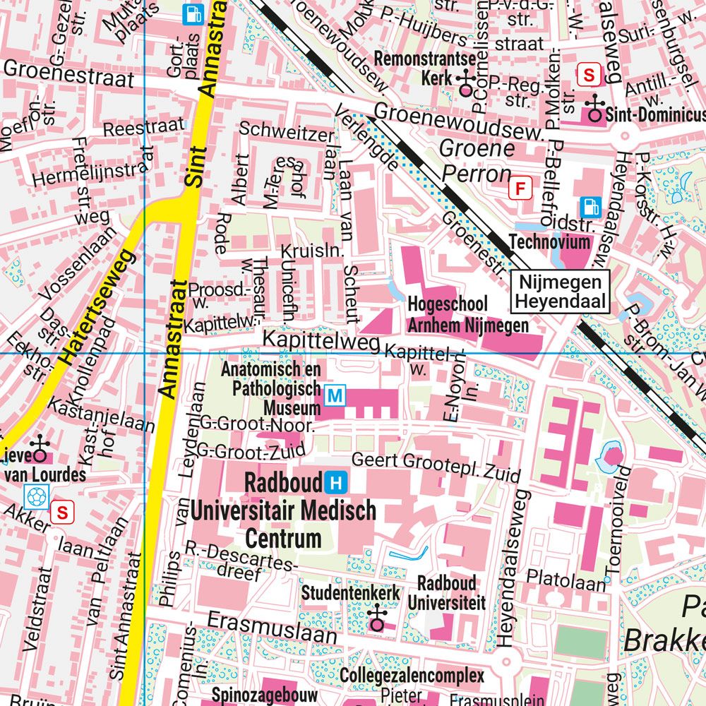
Description
This city map covers Nijmegen and provides a clear representation of the entire city with a clear structure and easy-to-read cartography. The map is well suited for city walks, short stays and planning transportation and visits in one of the oldest cities in the Netherlands. The city center is shown in extra detail, making it easy to navigate on foot and find your way to sights, public buildings and public transport. The use of symbols and map design provides a quick overview of important city functions, and on the back there is a street and address index that makes it easy to look up specific addresses. Release year: 2025.