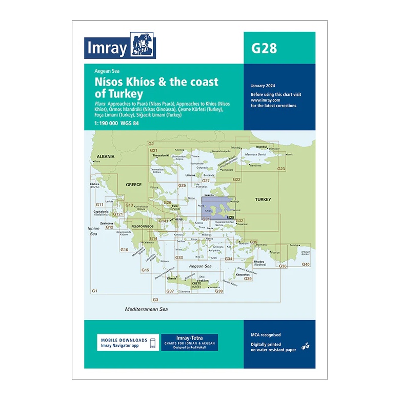
Description
This overview chart from Imray covers the sailing area around Khíos (Nísos Khíos) and the adjacent Turkish coast in the northeastern Aegean Sea. The chart provides a clear regional overview of an area with short distances between Greek islands and Turkish ports, and is well suited for both coastal and cross-border sailing.
The map includes plan views and approaches to Khíos, Psará, Órmos Mándraki, as well as Turkish ports such as Çeşme Körfezi, Foça Limanı and Sigacik Limanı. Developed for passage and route planning, it serves as an important complement to more detailed coastal and harbor maps in the area.
Printed on water-resistant paper and manufactured to MCA approved standards, with support for digital updates via the Imray Navigator app.