Description
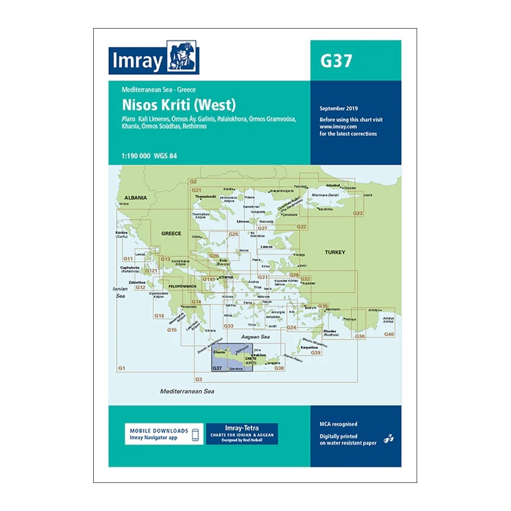
This overview chart from Imray covers the western part of Crete (Nísos Kríti) in the Aegean Sea, providing a regional overview of the sailing areas along the west and southwest coasts of the island. The chart is well suited for planning both coastal voyages around Crete and passages towards the Peloponnese and the central Aegean.
The map includes plan views and approaches of Káli Liménes, Órmos Ay. Galíni, Palaióchora, Órmos Gramvoúsa, Khaniá, Órmos Soúdas and Réthymno. It serves as an important complement to more detailed port and coastal charts for sailors traveling along the west coast of Crete or planning longer legs north or west.
Printed on water-resistant paper and manufactured to MCA approved standards, with support for digital updates via the Imray Navigator app.