Description
NV Charts NO6 Sørvestlandet nord is a complete map package with both paper charts and digital nautical charts for the coastal stretch from Stavanger to Haugesund along the northern part of Southwest Norway. The charts are based on official data from the Norwegian Mapping Authority and provide detailed navigational information about the coastline, approaches, ports and anchorages, suitable for both planning and safe navigation in the area.
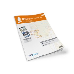
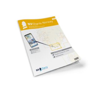
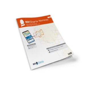
The package includes paper charts in convenient atlas format (A3), combined with digital access via the NV Charts app and PC/Mac. The digital charts can be used offline and activated on up to 5 devices, giving you flexible access both on board and ashore.
Characteristics
Paper map in A3 atlas format with good overview and details.
Digital access via NV Charts (app + PC/Mac) with offline use.
Detailed map basis for sailing, approaches and port calls in the area.
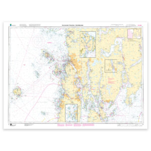
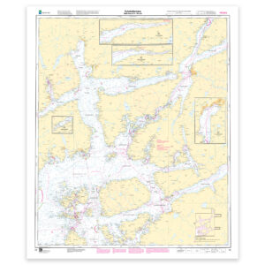
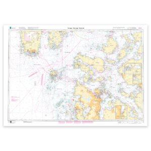
Map overview
C1 Skagerrak – Egersund to Haugesund (1:375 000).
C20 Norway – Oslo to Mo-i-Rana (1:1,750,000).
C21 Norway – Mo-i-Rana to Kirkenes (1:1 750 000).
C22 Stavanger to Haugesund (1:120 000).
C23 Haugesund inlets (1:40 000).
C24 Stavanger inlets (1:40 000).
C25 Egersund harbor (1:20 000).
C26 Stavanger harbor (1:10 000).
C27 Haugesund harbor (1:10 000).
Updates
Always delivered in the latest available edition from NV Charts. If a new and updated edition is launched within 30 days of purchase, the map can be exchanged for a new edition free of charge.
EAN / ISBN
9783910644199