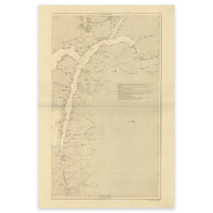
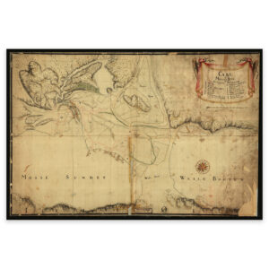

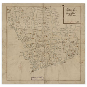
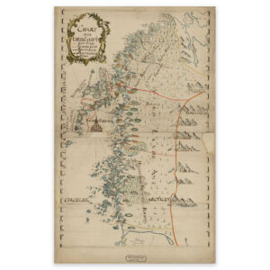
 Nordland county 1750
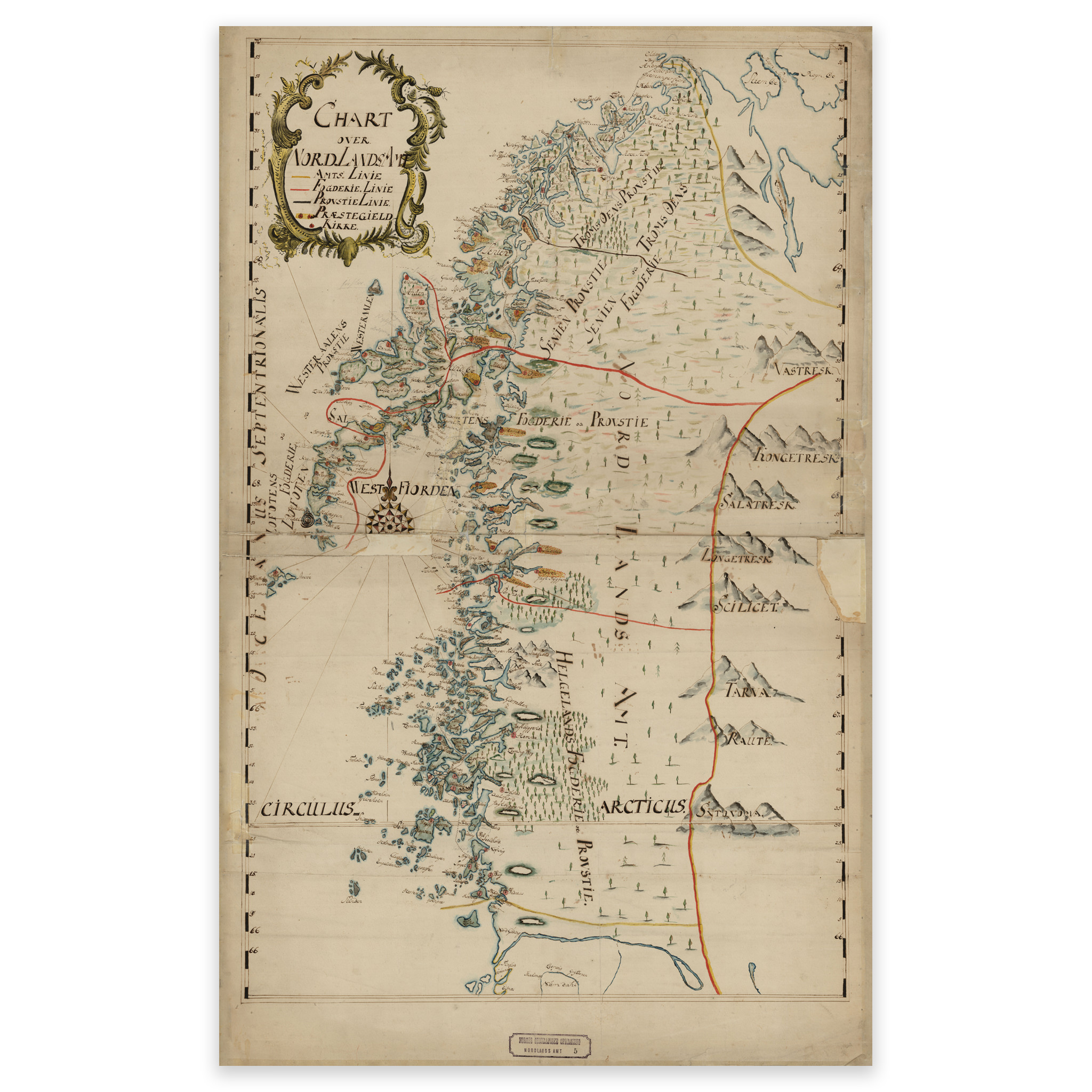

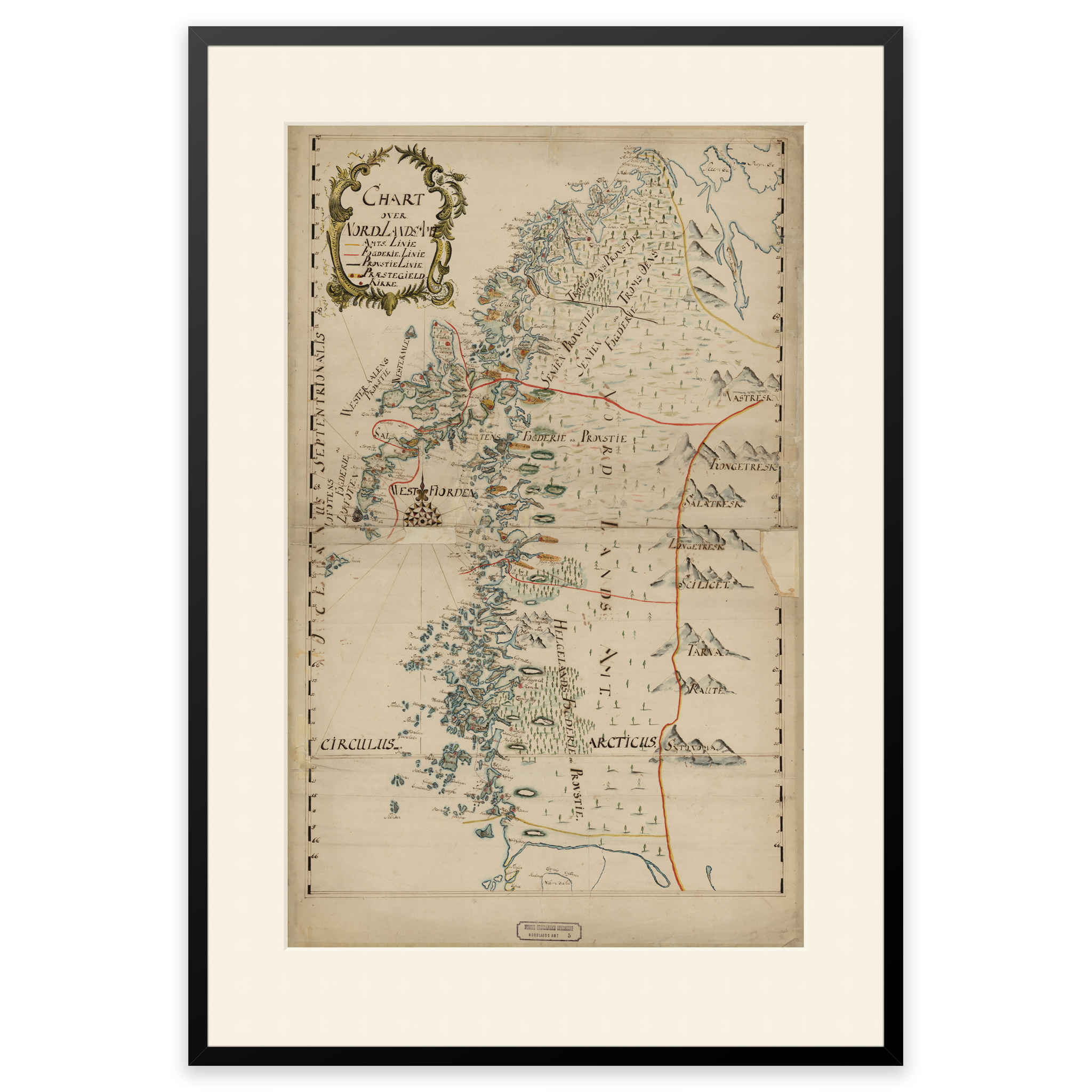

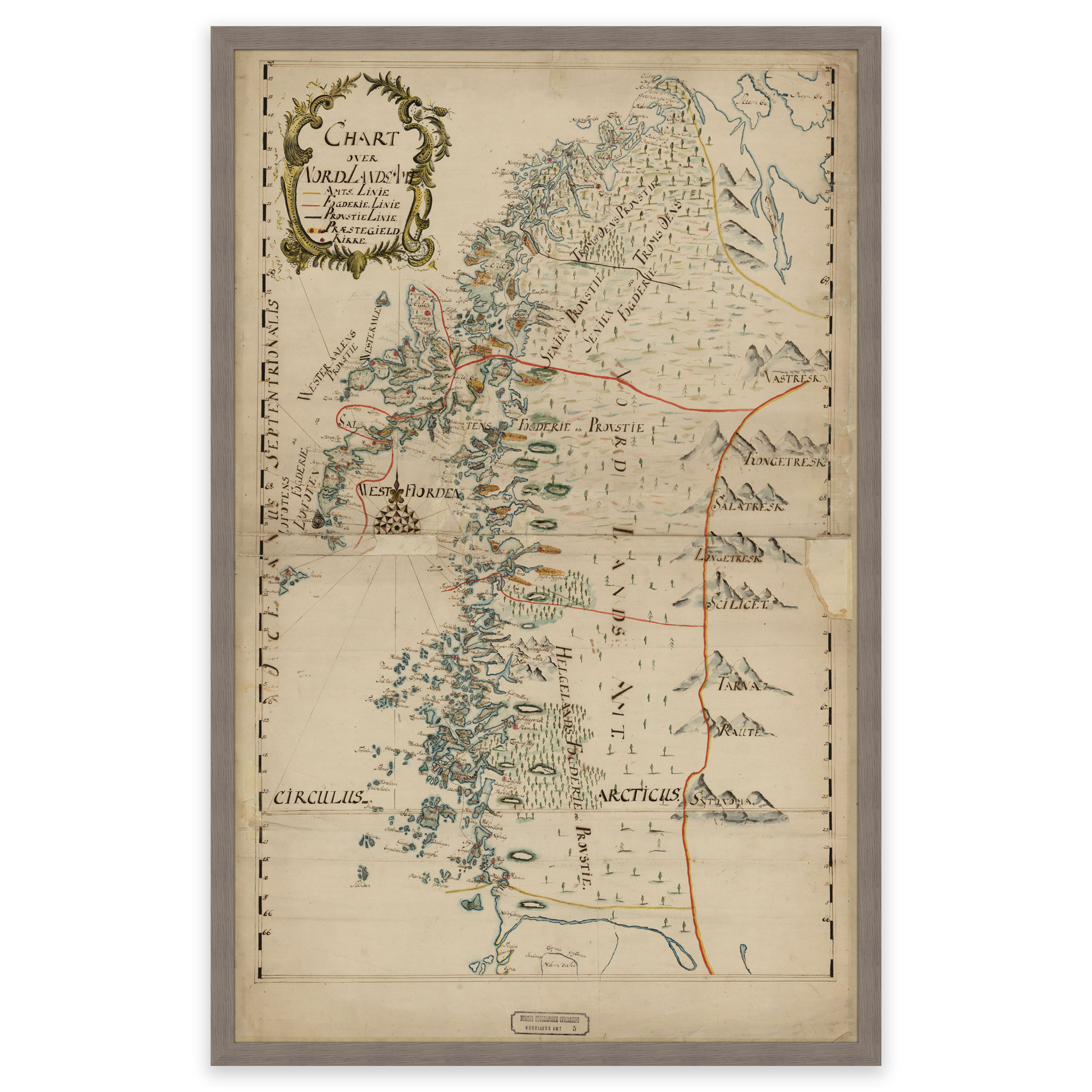
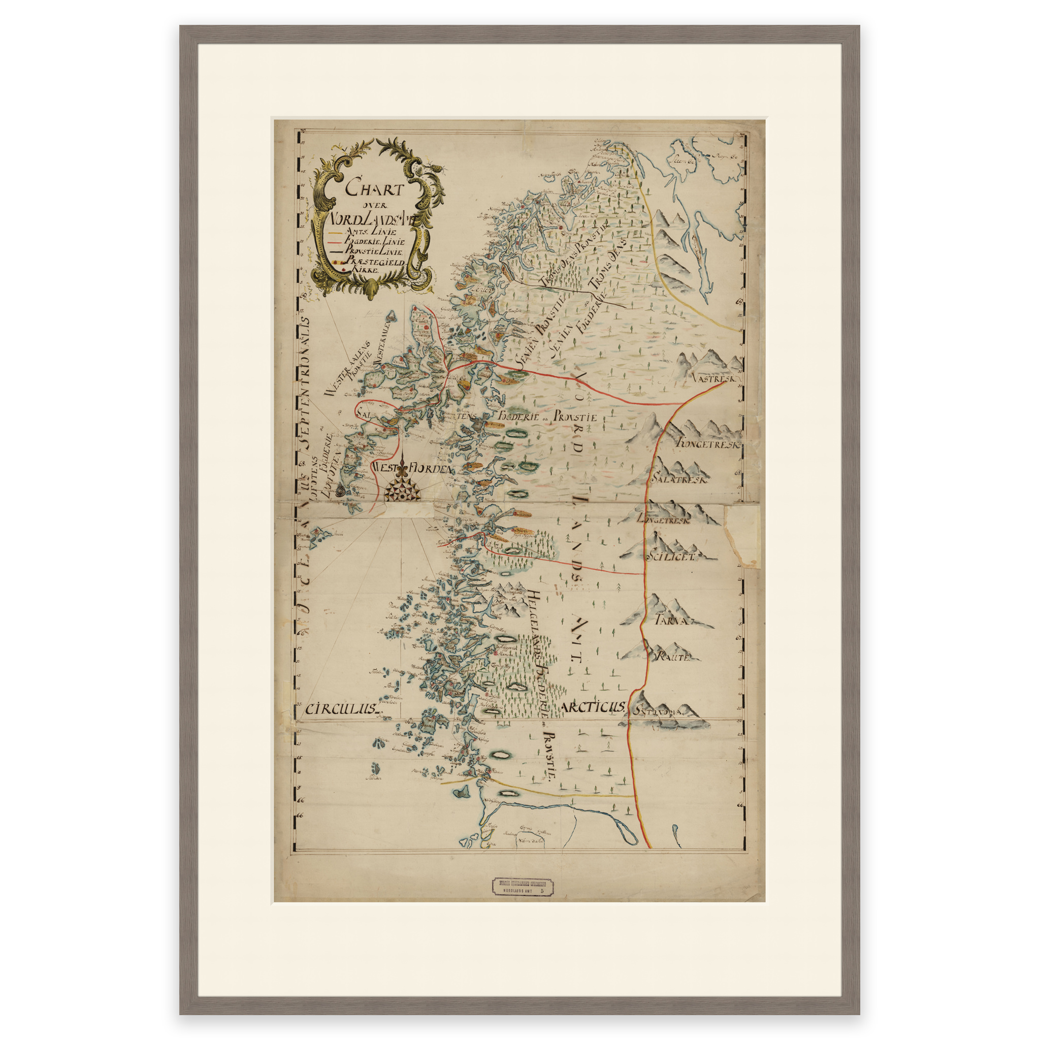
Nordland county 1750
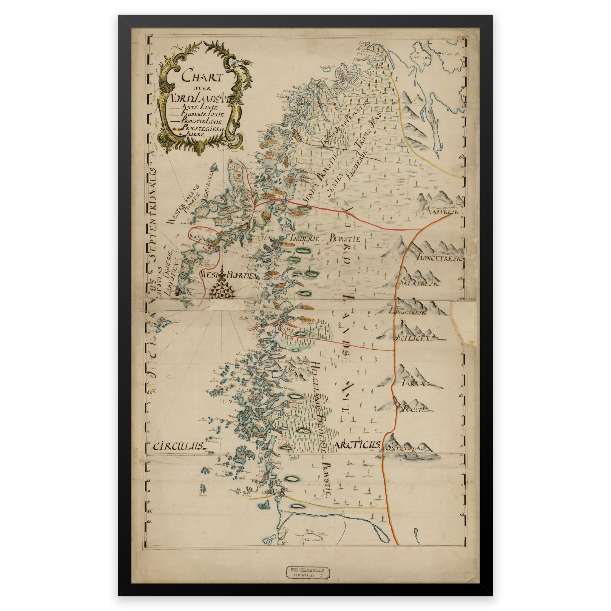
Map of Nordland county from 1750. The map comes from the county map collection and is hand-drawn. The county boundaries correspond to those we have today. The map comes in its original size of 79.7 x 58.2 cm. The size with frame and passe-partout is 99.7 x 80.2 cm. Do you want the map in a different size? Just get in touch – we’ll be happy to give you a quote for customization.