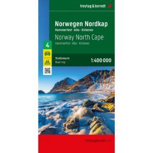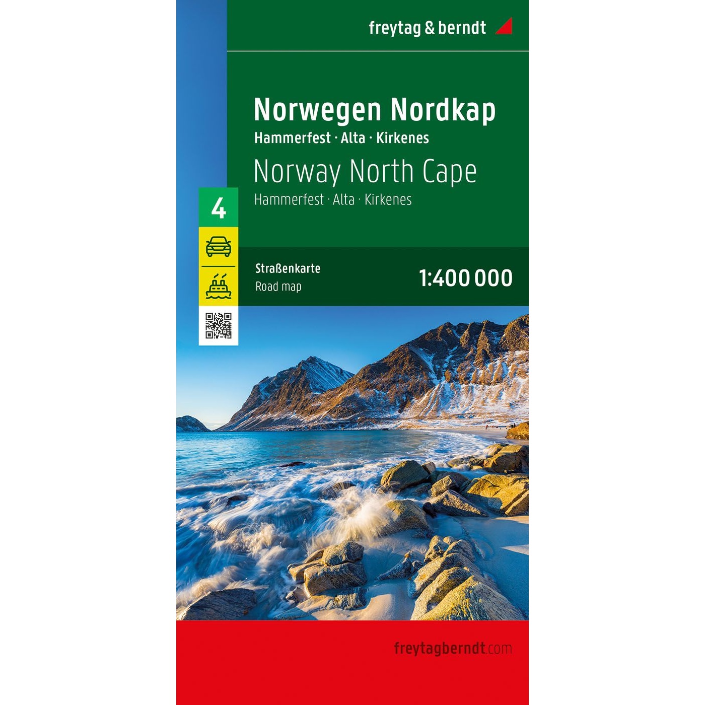

Description
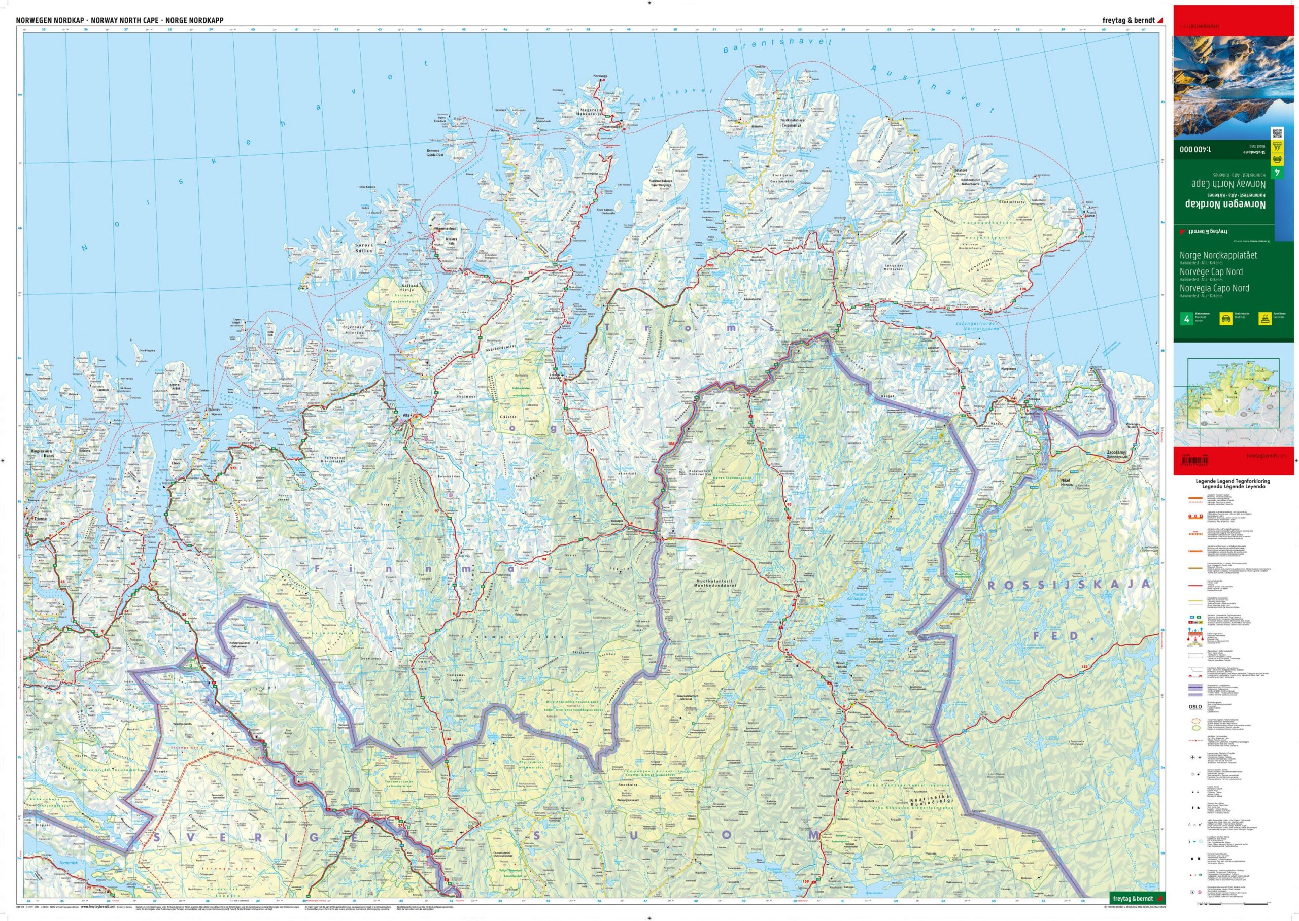
This is a detailed and clear road map of the North Cape and the northernmost parts of Norway, designed for travelers by car, motorcycle or caravan in Finnmark and Northern Norway. The map covers large areas around Hammerfest, Alta and Kirkenes and provides an accurate representation of the road network in a landscape characterized by large distances, fjords and the Arctic coast.
The map shows distances, excursion destinations and tourist-related sights, and is well suited to both planning and orientation along the way. Campsites and motorhome pitches are clearly marked, making the map particularly useful for long-distance tourists. Auto connections by ferry are included and provide a good overview of important crossings along the coast and in the fjord areas.
The well-designed cartography provides high readability even in areas with few road choices and long distances. The map is printed in large format and provides a good level of detail while retaining the overall overview. This is the fourth and final map in the Norway series, which covers the whole of Norway.
The map is in German, but can easily be used by travelers with no knowledge of German. Road maps are mainly based on symbols, road numbers and place names and provide quick and intuitive orientation regardless of language.
The map was published in 2024 by freytag & berndt, at a scale of 1:400,000, and covers the Northern Cape and Finnmark, including Hammerfest, Alta and Kirkenes. The map is printed in Austria and delivered as a foldable road map in large format (approx. 136 × 97 cm unfolded).