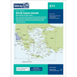
Description
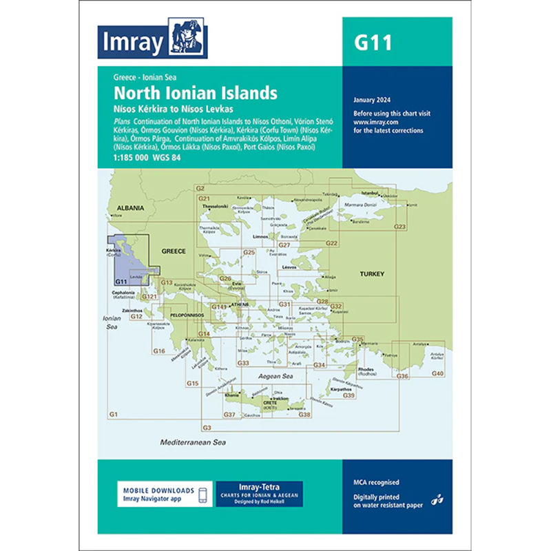
This boating map covers the northern Ionian islands of Greece, including the area around Corfu (Kérkira), Paxos and the mainland coast of Parga. The map provides a detailed overview of the waters, sailing routes and anchorages in a popular area for both holiday and long-distance sailing.
Detailed coverage of popular sailing areas
The map includes detailed plans for Corfu Town, Gouvia Marina, Parga, Lakka and Gaios, as well as overview maps to support route planning between the islands and along the coast. This makes it easy to navigate both in open waters and in more sheltered coves and harbors.
Designed for cruising the Mediterranean
Developed specifically for leisure sailors, the G-series Imray charts are based on both official chart data and extensive local knowledge gathered by experienced sailors. This provides practical and useful information about anchorages, facilities and local conditions that are often not reflected in traditional nautical charts.
Updated and user-friendly chart
This edition has been updated with the latest available chart data and includes updated depth data and general revision of the content. The chart is printed on durable, water-resistant paper and comes in a convenient format that is well suited for use on board.