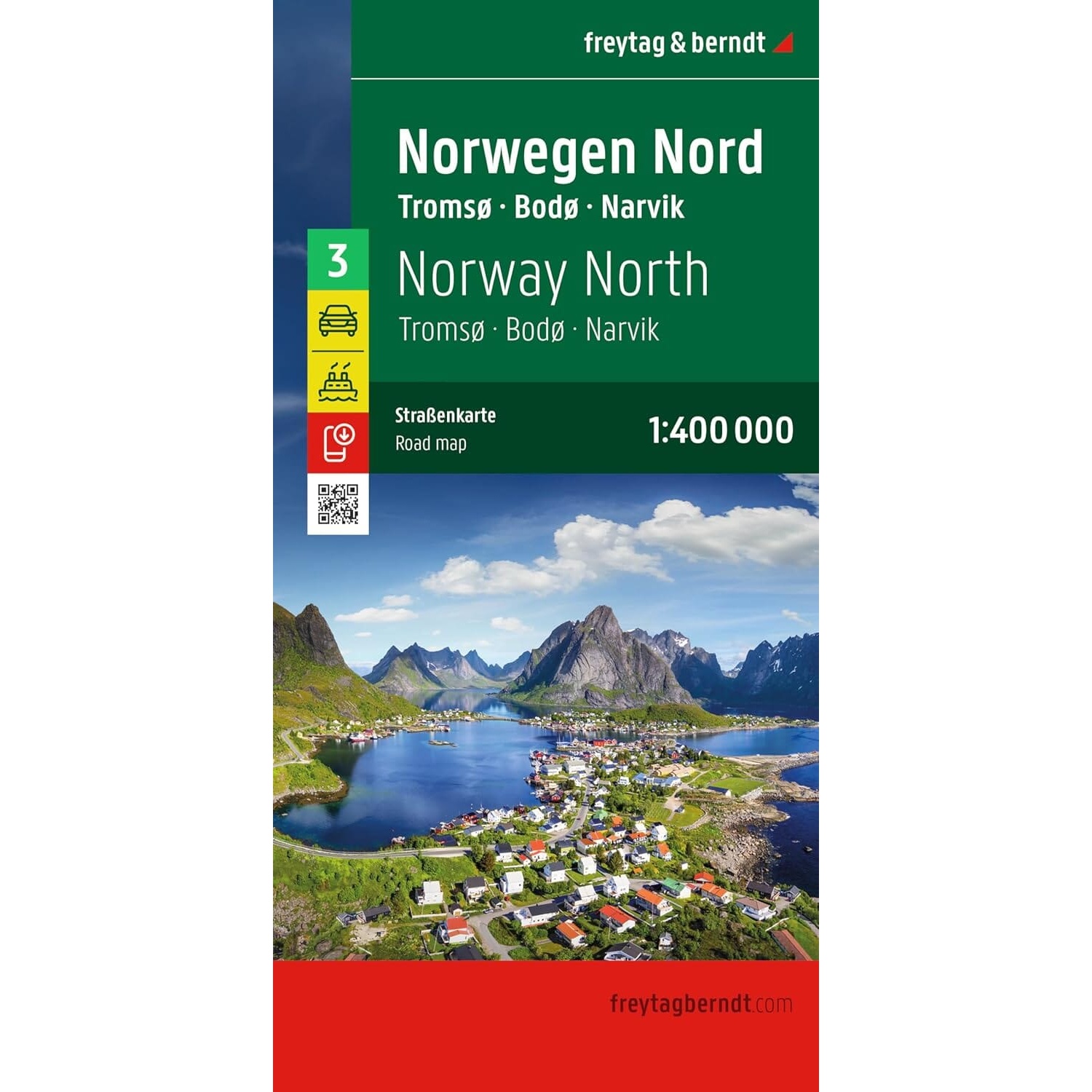
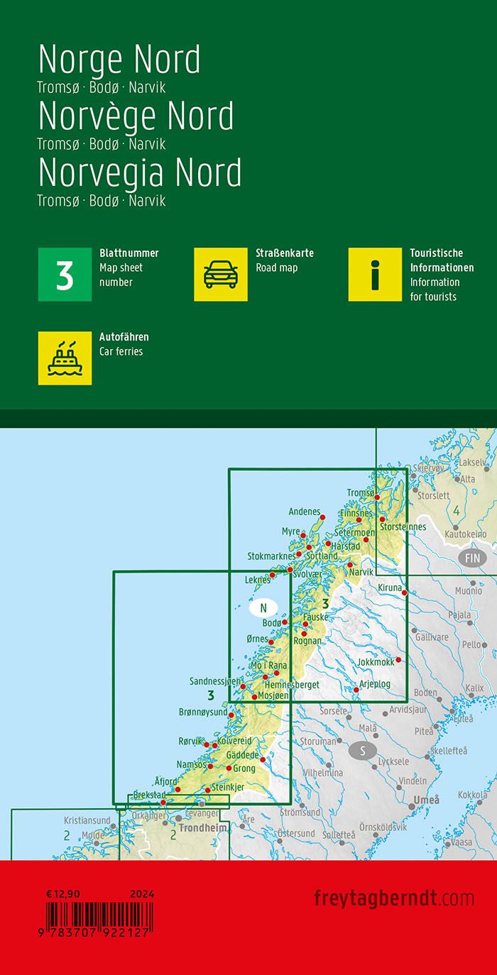
Description
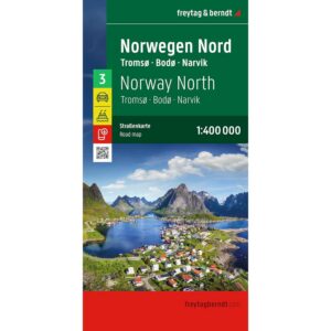
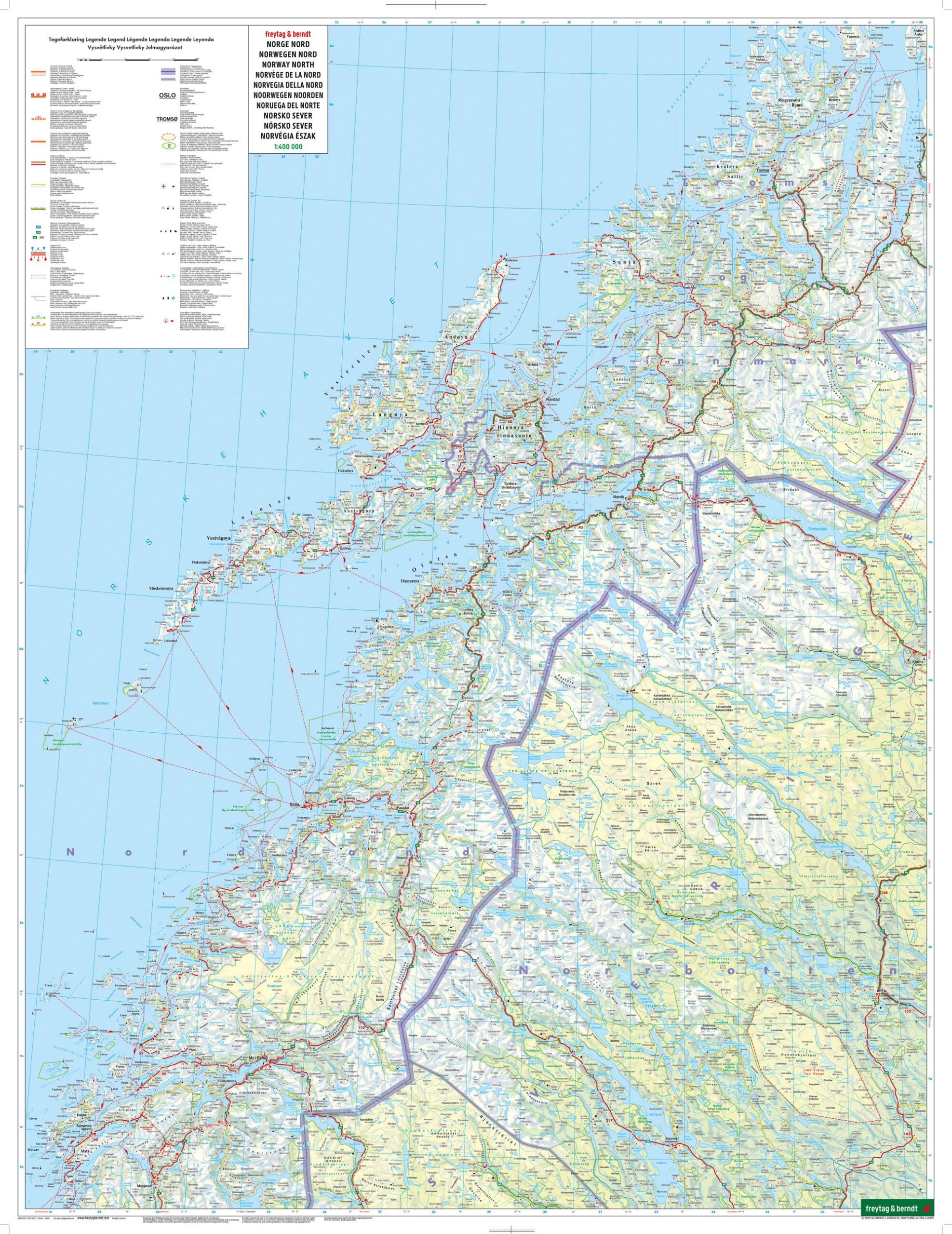
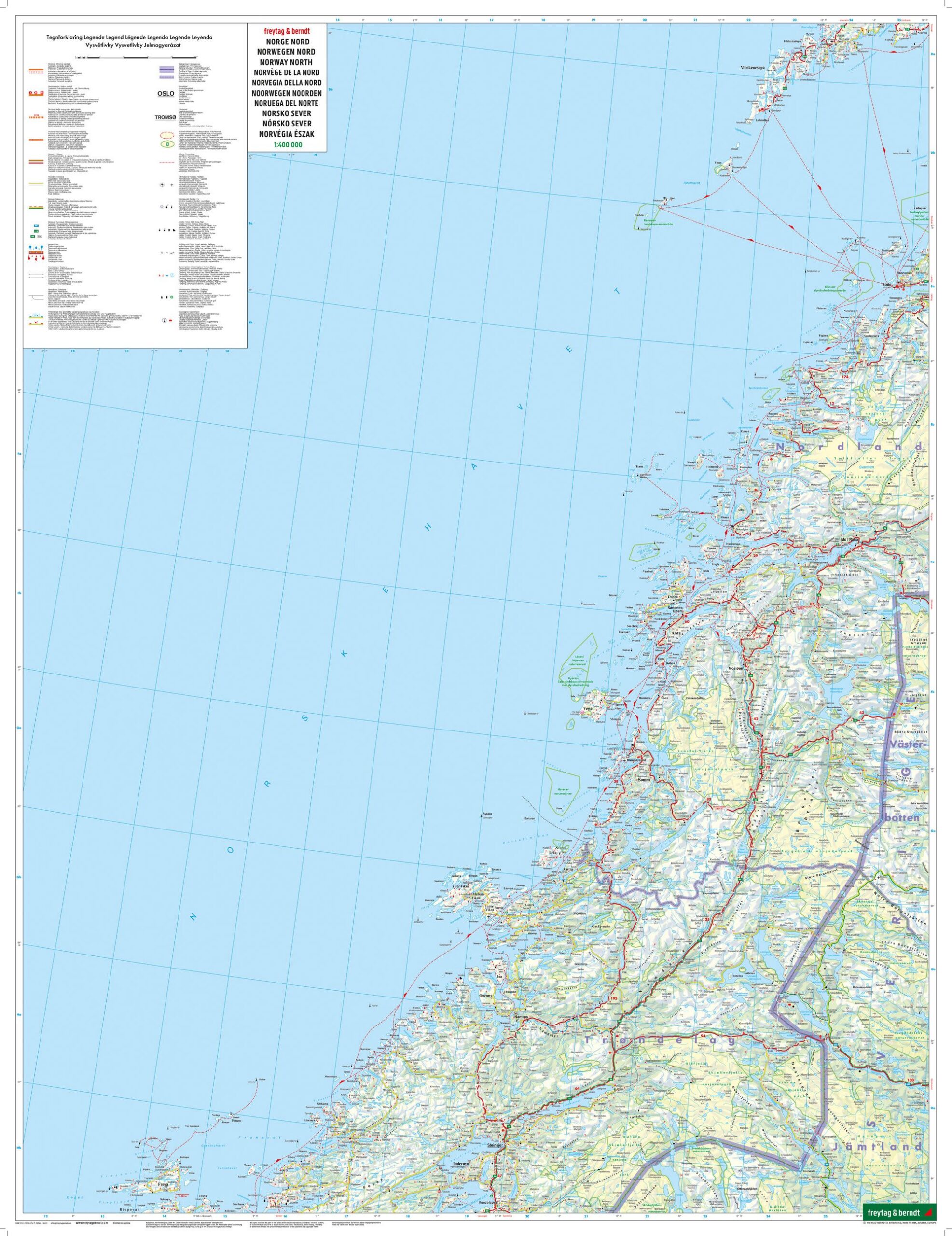
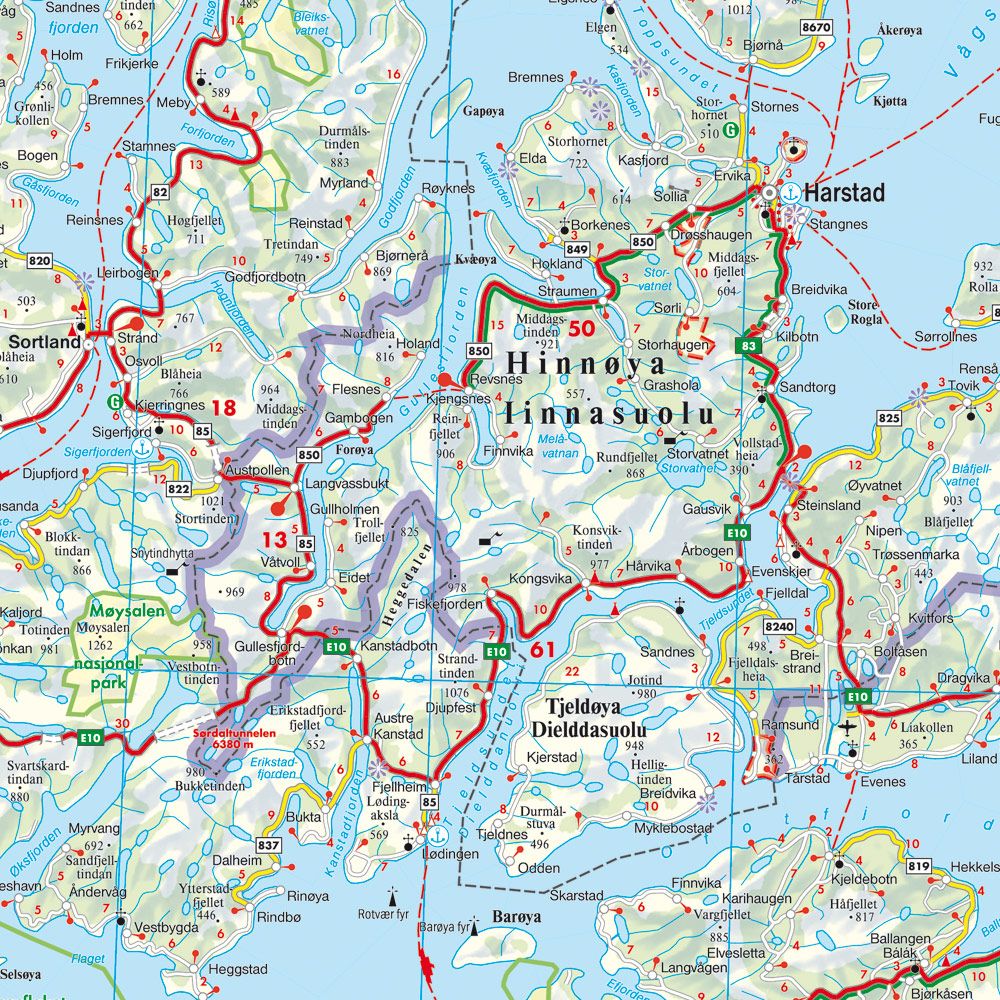
This is a detailed and clear road map of Northern Norway, designed for travelers by car, motorcycle or caravan in the northernmost parts of the country. The map covers large parts of Nordland and Troms, including the areas around Tromsø, Bodø and Narvik, and provides an accurate representation of the extensive road network in the region.
The map shows distances, excursion destinations and tourist-related sights, and is well suited to both planning and orientation along the way. Campsites and motorhome pitches are clearly marked, making the map particularly useful for camping tourists. Car connections by ferry are included and provide a good overview of important crossings along the coast and in the fjord areas.
The well-designed cartography provides high readability even in areas with long distances and few road choices. The map is printed in large format, is double-sided and provides a good level of detail while maintaining the overall view. This is sheet 3 in the Norway map series, which consists of four maps covering the whole of Norway.
The map is in German, but can easily be used by travelers with no knowledge of German. Road maps are mainly based on symbols, road numbers and place names and provide quick and intuitive orientation regardless of language.
The map is published in 2026 by freytag & berndt, at a scale of 1:400,000, and covers Northern Norway, including Tromsø, Bodø, Narvik and adjacent areas. The map is printed in Austria and delivered as a foldable road map in large format (approx. 123 × 96 cm unfolded).