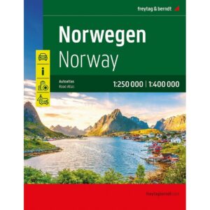


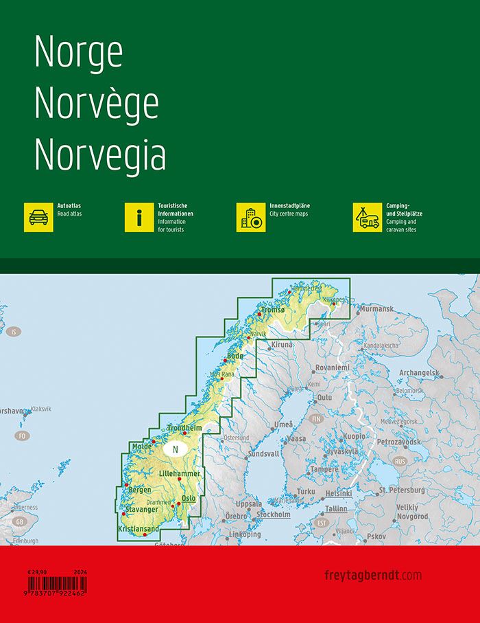
Description
This is a complete and detailed auto atlas of Norway, designed for travelers who want a good overview of the entire country – even outside the main highways. The atlas combines 1:250,000 and 1:400,000 scales and provides a high level of detail while maintaining the overall picture, making it ideal for both planning and use while traveling.
The map image is clear and easy to read, with an accurately rendered road network that also includes smaller side roads that are often missing from more comprehensive maps. Landscape features, tourist routes and particularly beautiful stretches are highlighted, and many excursion destinations are marked directly on the maps. Campsites and motorhome sites are included, making the atlas particularly suitable for travel by motorhome, caravan or motorcycle.
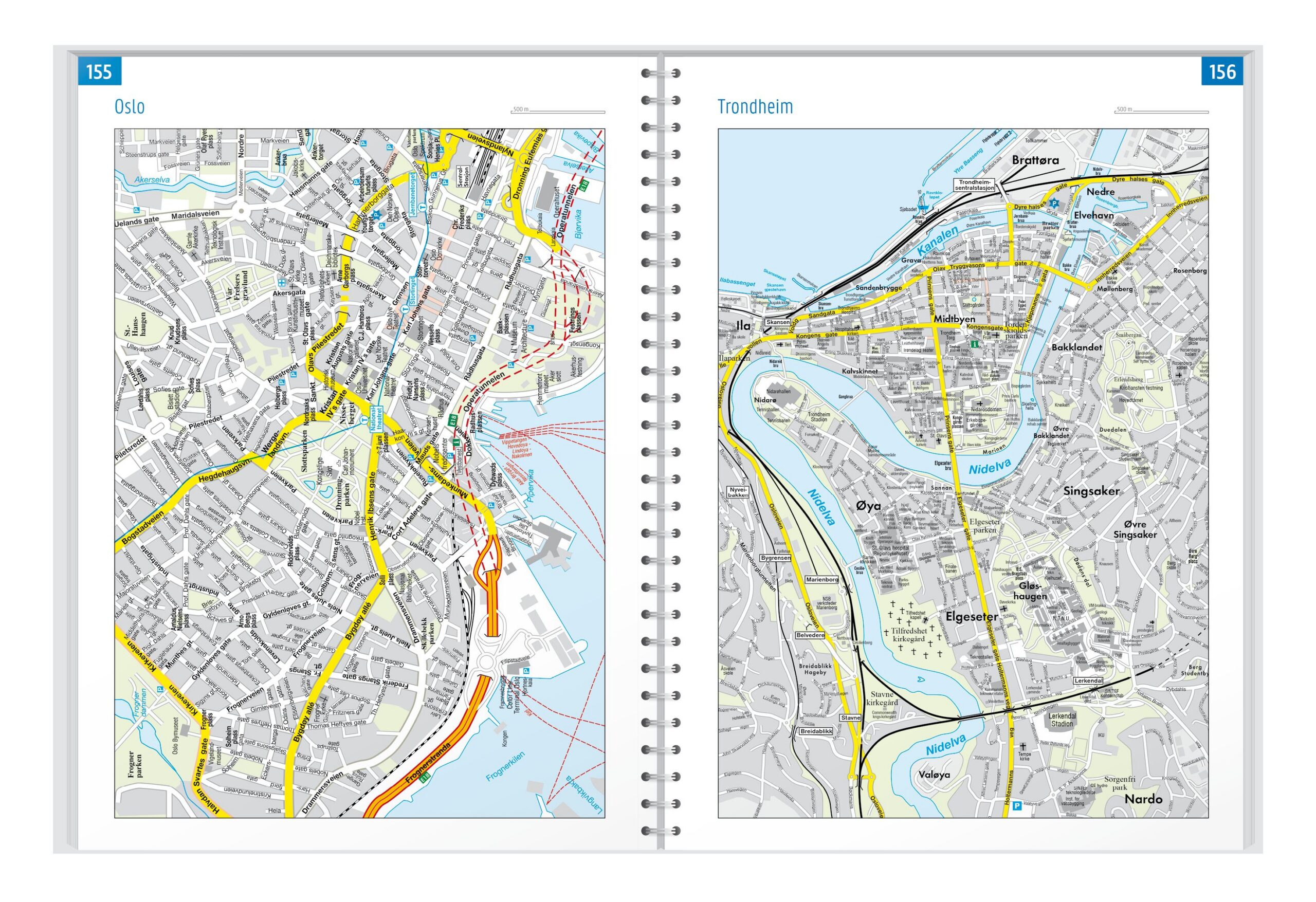
The atlas has a spiral binding with a hidden spiral so that it lies flat and keeps the desired page open during use – both during planning and in the car. In addition, the atlas contains detailed city maps that provide good orientation in Oslo, Bergen, Trondheim, Stavanger, Kristiansand, Bodø, Narvik and Hammerfest.
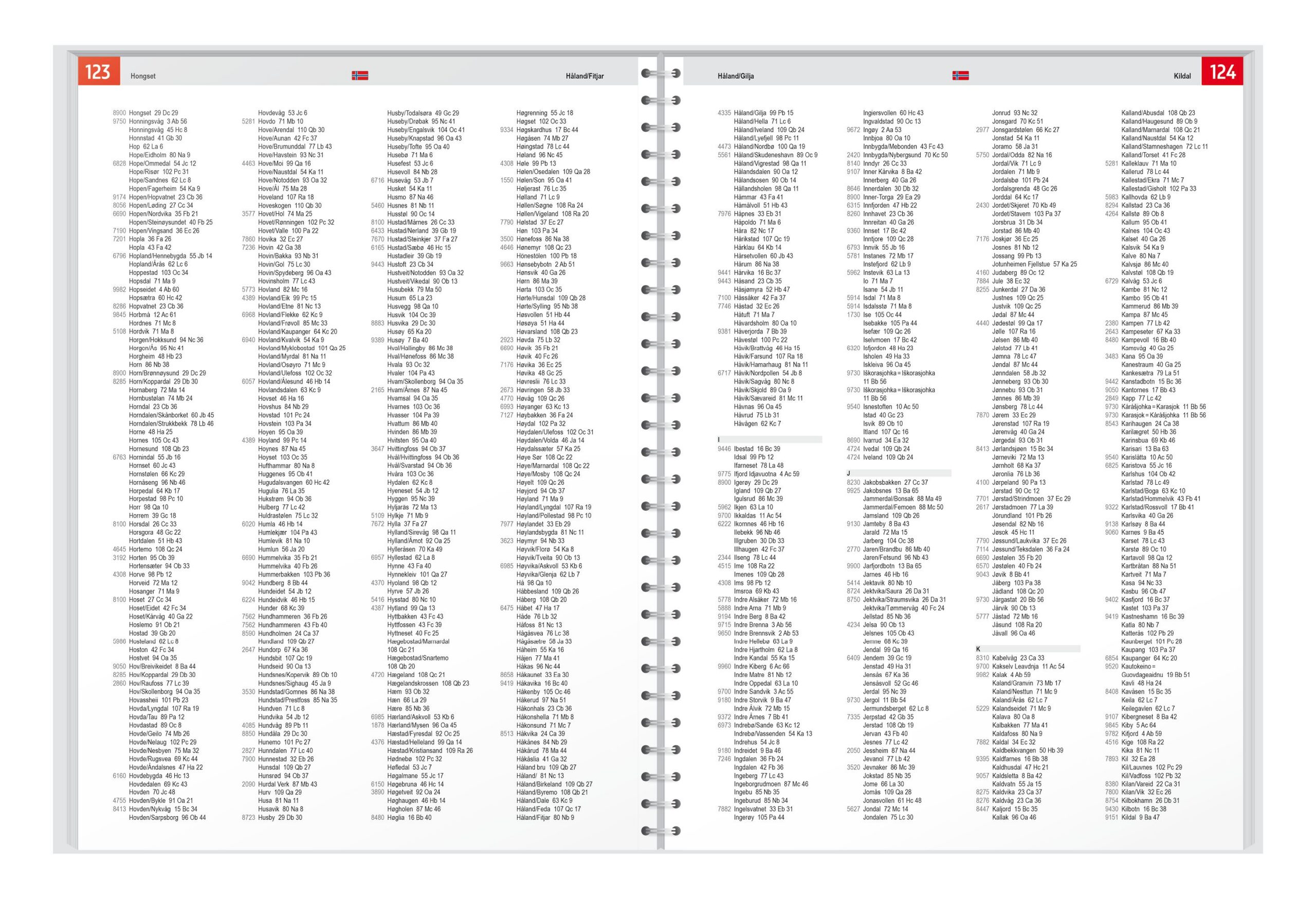
The map is in German, but can easily be used by travelers with no knowledge of German. The road and map atlas is mainly based on symbols, road numbers and place names and provides quick and intuitive orientation regardless of language.
Published in 2024 by freytag & berndt, the atlas covers the whole of Norway, is printed in Austria and is delivered as a spiral-bound auto atlas in 23 × 29.7 cm format.