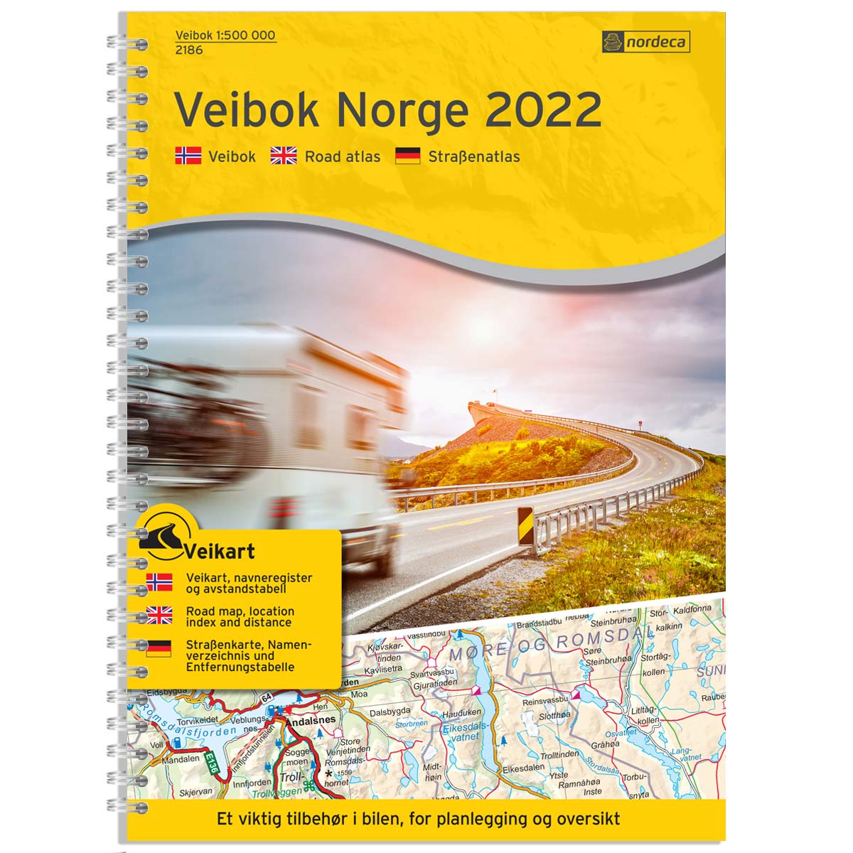
Description
Norway Road Atlas 1:500,000 is a paper-based road atlas at a scale of 1:500,000 (1 cm = 5 km) providing a comprehensive overview of all of Norway with a focus on the road network, ferry connections, and travel information. The maps are designed for easy navigation between cities, towns, and the country’s many natural attractions. Information on petrol stations, EV fast-charging stations, rest areas, mountain cabins, and distance tables is included to make your road trip more predictable and comfortable.
The book was published in 2022 by Nordic Maps (formerly Nordeca) and still provides a good overview of the road network and destinations, although some details may have changed since publication. The format is A4-friendly and practical for use in the car, with clear maps and overviews suitable for both pre-trip planning and use during your journey.
The map covers locations such as Vadsø, Tromsø, Bodø, Trondheim, Ålesund, Bergen, Oslo, Stavanger, and Kristiansand.