Description
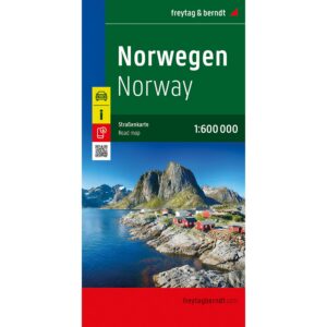
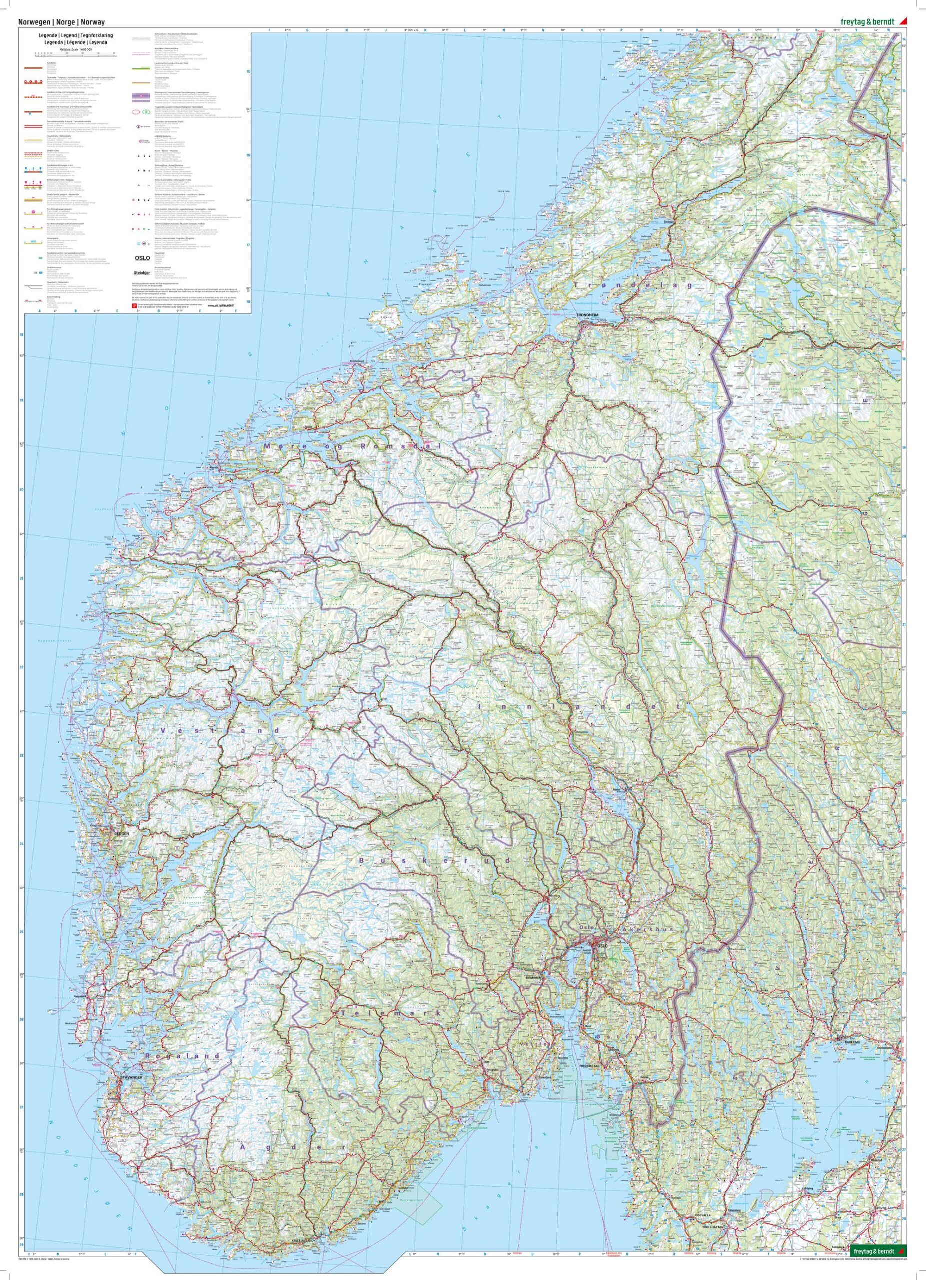
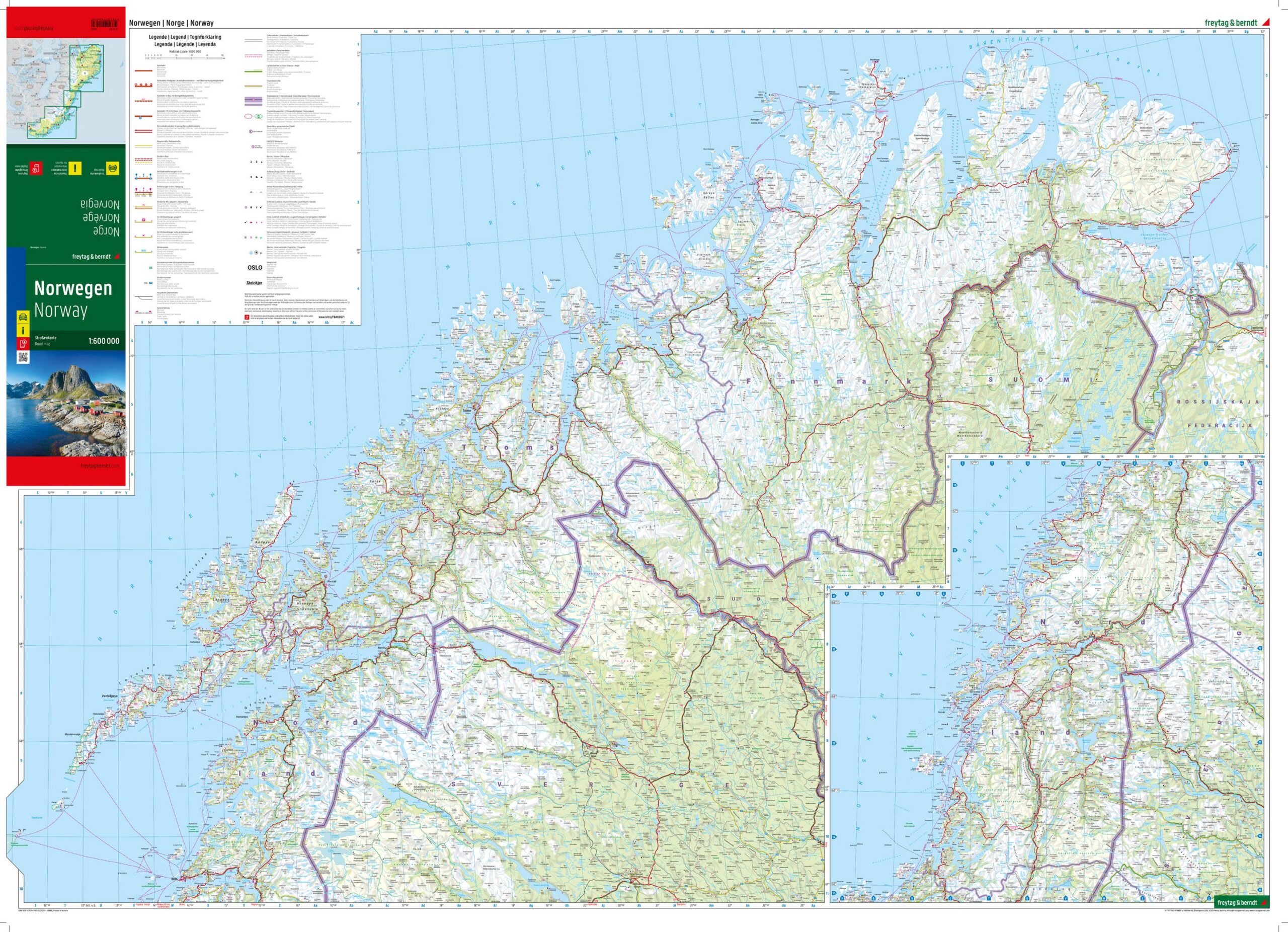
This is a detailed and easy-to-read road map of Norway, designed for travelers who want a good overview of the entire country in one map. The map covers Norway at a scale of 1:600,000 and provides a clear representation of main roads, important connections and key destinations from south to north.
The map shows distances and tourist-related excursion destinations, and is well suited to both planning at home and orientation along the way. Campsites and motorhome pitches are clearly marked, making the map particularly useful for travelers with a motorhome or caravan. The precise map image also makes the map suitable for motorcyclists and car drivers who want a clear but informative presentation of the road network.
A digital gazetteer can be accessed via QR code directly from the map, providing quick access to place names and search functionality on mobile or tablet. This provides a modern combination of paper map and digital support.
The map is in German, but can easily be used by travelers with no knowledge of German. Road maps are mainly based on symbols, road numbers and place names and provide quick and intuitive orientation regardless of language.
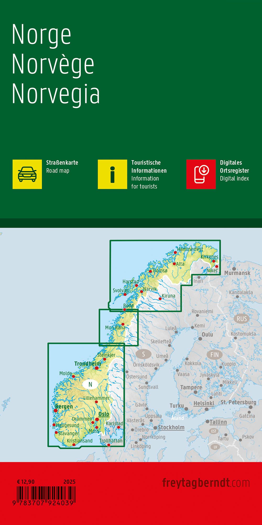
The map is published in 2025 by freytag & berndt, printed in Austria, and comes as a foldable road map in large format(approx. 96 × 137.5 cm unfolded).