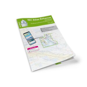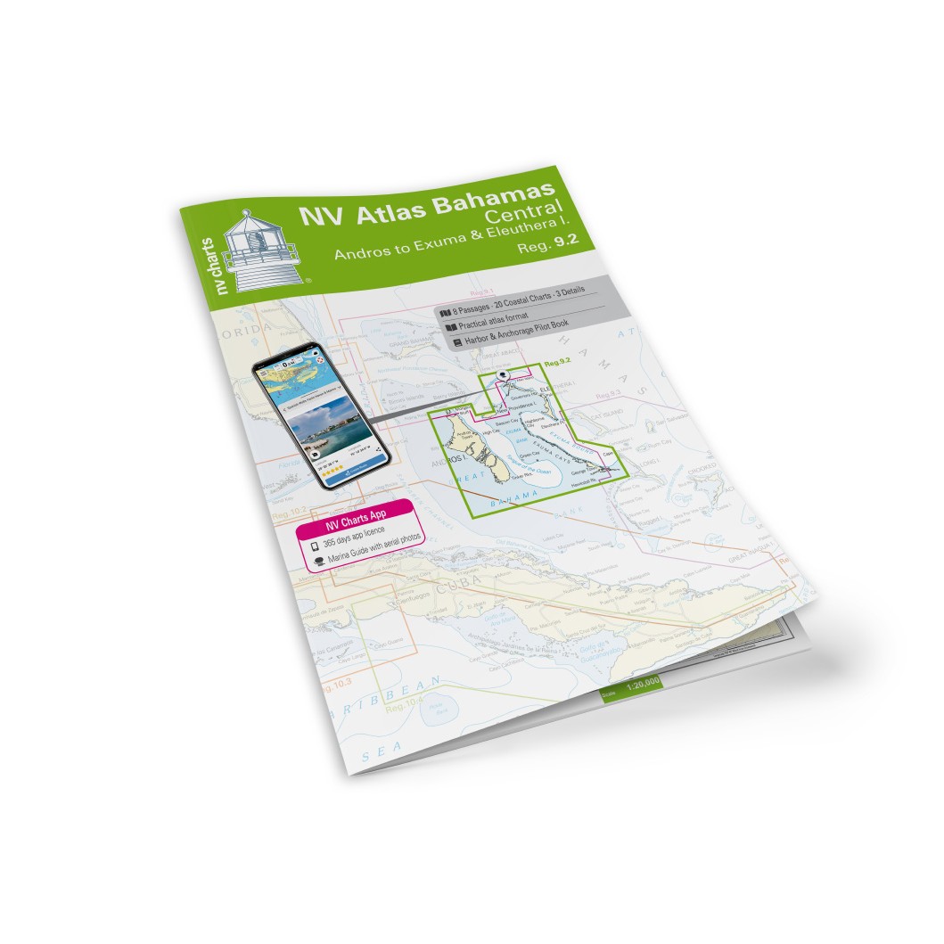
Description
NV Charts Bahamas 9.2 Central Andros-Exumas & Eleuthera Islands is a complete chart package of paper charts and digital nautical charts covering the central parts of the Bahamas, including the waters around Central Andros, Exumas and Eleuthera Island. The charts provide detailed navigational information on approaches, channel details, channels, bays, coral reefs, harbors and anchorages – essential data for sailing in this spectacular sailing area.
The chart set comes in a convenient atlas format with clear cartography, combined with digital access via the NV Charts app and PC/Mac. The digital charts can be used offline, so you have access to up-to-date navigation data both when planning at home and when sailing on the water.
Characteristics
Paper maps in atlas format with a high level of detail and good overview.
Digital access via the NV Charts app with offline use.
Detailed navigation information for Central Andros, Exumas and Eleuthera Islands.
Sailing routes, coral reefs, approaches and anchorages for islands and bays along the route.
Map overview
The chart set covers the waters from Central Andros southeast through the Exuma Islands to Eleuthera Island, with master charts and levels of detail supporting navigation between islands, through channels and around coral reefs. The charts provide good support for both coastal sailing and longer trips between the inner islands of the Bahamas.
Updates
Always delivered in the latest available edition from NV Charts. If a new and updated edition is launched within 30 days of purchase, the map can be exchanged for a new edition free of charge.
EAN / ISBN
9783945902536