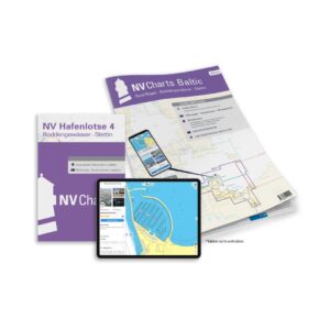
Description
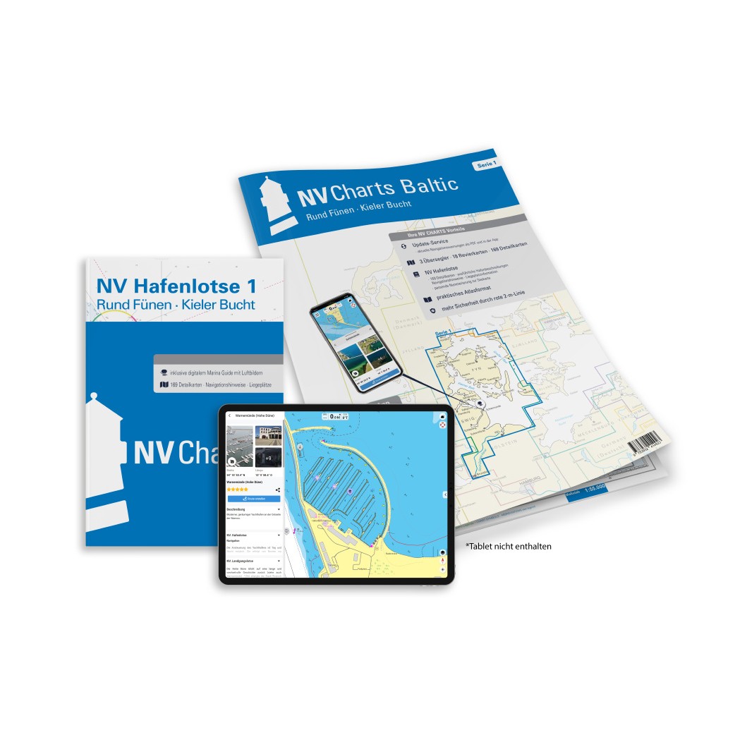
NV Charts Baltic Region 1 Northern Germany & Southern Denmark is a comprehensive chart package with both paper and digital charts for the coastal areas around Northern Germany and Southern Denmark, including Kieler Bucht, Flensburger Fjord, Little Belt and the waters around Funen. Specially designed for leisure boats, the charts provide detailed navigational information on approaches, fairway details, harbors and passages, providing a good overview for planning and safe sailing in this classic sailing area of the Baltic Sea. :contentReference
The package comes in a convenient atlas format with paper charts, combined with digital access via the NV Charts app and PC/Mac, which can be used offline and activated on up to 5 devices. This provides ease of use both on board and on shore. :contentReference
Features
Paper charts in atlas format with good overview and details.
Digital access via NV Charts (app + PC/Mac) with offline use.
Detailed navigation information with ports, approaches and important sailing routes.
Map overview
The map series covers the waters in the coastal areas around northern Germany and southern Denmark, including Kieler Bucht, Flensburger Fjord, Lillebælt, Odense Fjord, Schlei and the areas around Funen in several levels of detail.
Updates
Always delivered in the latest available edition from NV Charts. If a new and updated edition is launched within 30 days of purchase, the map can be exchanged for a new edition free of charge.
EAN / ISBN
9783910644007