Description
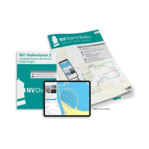
NV Charts Baltic Region 2 Lübecker Bucht-Bornholm-Copenhagen is a comprehensive chart package with both paper and digital charts for the eastern parts of the Baltic Sea, including Lübecker Bucht, Bornholm and the waters around Copenhagen. This chart package is ideal for leisure sailing, coastal cruising and vacation cruising in the Baltic Sea, with detailed navigation information for the waters covering Denmark, Germany and Sweden.
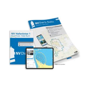
The package comes in a convenient atlas format with paper charts, combined with digital access via the NV Charts app and PC/Mac. The digital charts can be used offline and activated on up to 5 devices, giving you flexible access both onboard and ashore.
Characteristics
Paper maps in atlas format with a good overview and high level of detail.
Digital access via NV Charts (app + PC/Mac) with offline use.
Detailed map base with approaches, ports, fairway details and navigation information for the Baltic Sea.
Map overview
Baltic Region 2 – Eastern waters of the Baltic Sea (overview map).
Lübecker Bucht (detailed nautical charts).
Bornholm’s northern and southeastern waters.
Copenhagen and Øresund (entrances and ports).
Detail maps for smaller passages, ports and coastal details within the area.
Updates
Always delivered in the latest available edition from NV Charts. If a new and updated edition is launched within 30 days of purchase, the map can be exchanged for a new edition free of charge.
EAN / ISBN
9783910644038