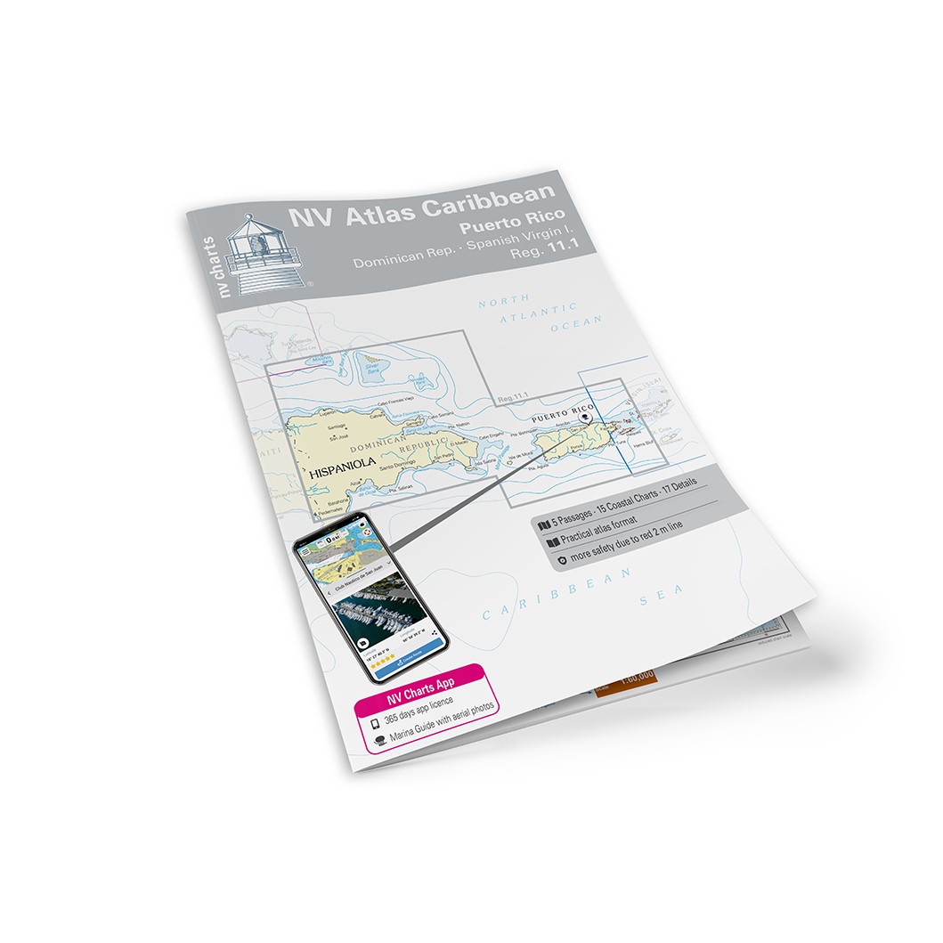
Description
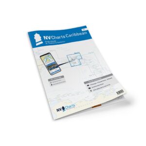
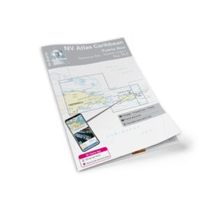
NV Charts Caribbean 11.1 Puerto Rico-Dominican Republic-Spanish Virgin Islands is a complete combination package of paper charts in atlas format and digital charts (NV Charts app/PC/Mac) for sailing in the area around Puerto Rico, the Dominican Republic and the Spanish Virgin Islands (Vieques and Culebra). The charts are designed for leisure boating and cruising, with a clear layout that makes it easy to find approaches, ports and anchorages – both on paper and in the app.
The chart series places great emphasis on details outside the main camps, which is particularly useful in the Caribbean. Depths and heights are given in meters, and the charts are adapted for practical navigation on board with good readability and balanced sections. The digital part includes access code to the area for offline use, as well as port and anchorage information in the app (license period approx. one year).
Map overview (manufacturer’s map list)
Passasjekart
C1 Caicos Bank to Puerto Rico – Dom. Rep. 1:900 000
C2 Puerto Rico 1:500 000
C3 Monte Cristi to Cabo Víejo Francés 1:340 000
C4 Cabo Víejo Francés to Cabo Engaño 1:340 000
C5 Mona Passage 1:340 000
Coastal map
C6 Bahía de Samaná 1:120 000
C7 Aguadilla de Rincón – Bahía de Jobos 1:120 000
C8 Puerto Real to Guayanilla 1:120 000
C9 Ponce to Bahía de Jobos 1:120 000
C10 Guayama to Roosevelt Roads 1:120 000
C11 Fajardo to Spanish Virgin Islands 1:120 000
C12 Bahía de San Juan to Cabo San Juan 1:120 000
C13 Arecibo to San Juan – Puerto Rico 1:120 000
C14 Punta Higuero to Arecibo 1:120 000
C15 Guánica to Bahía de Tallaboa 1:40 000
C16 Bahía de Tallaboa to Ponce 1:40 000
C17 Isla Caja de Muertos – Bahía de Rincón 1:40 000
C18 Bahía de Rincón to Bahía de Jobos 1:40 000
C19 Cabo San Juan to Fajardo 1:40 000
C20 Isla de Culebra 1:40 000
Detailed map
C21A Bahía de Mayagüez – Puerto Rico 1:40 000
C21B Bahía de Boquerón – Puerto Rico 1:40 000
C22 San Juan – Puerto Rico 1:20 000
C23A Parguera – Puerto Rico 1:40 000
C23B Puerto Ferro to Puerto Real 1:30 000
C23C Ens. Honda Approach – Isla de Culebra 1:20 000
C24A Bahía de Fajardo – Puerto Rico 1:15 000
C24B Puerto del Rey – Puerto Rico 1:10 000
C24C Isabel Segunda – Isla de Vieques 1:25 000
C24D Naguabo – Puerto Rico 1:40 000
C24E Punta Arenas – Isla de Vieques 1:35 000
C24F Palmas del Mar – Puerto Rico 1:10 000
C25A Luperón – Dominican Rep. 1:12 000
C25B Puerto Plata – Dominican Rep. 1:15 000
C25C Marina Puerto Bahía – Dominican Rep. 1:5 000
C25D Ocean World Marina – Dominican Rep. 1:6 000
C25E Marina Cap Cana – Dominican Rep. 1:15 000
Always delivered in the latest available edition from NV Charts. If a new and updated edition is launched within 30 days of purchase, the map can be exchanged for a new edition free of charge.