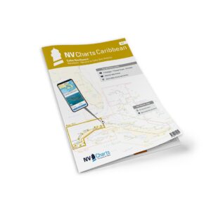
Description
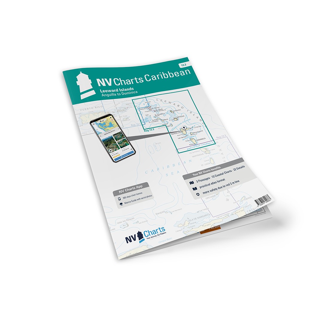
NV Charts Caribbean 12.2 Leeward Islands is a complete chart package of paper and digital nautical charts covering the Leeward Islands in the northeastern Caribbean, including the islands of Antigua, Barbuda, Saint Kitts, Nevis, Anguilla and surrounding waters. The charts provide detailed navigational information on coastal waters, approaches, port calls, anchorages and sailing routes in this popular sailing area.
The chart set comes in a convenient atlas format with clear cartography, combined with digital access via the NV Charts app and PC/Mac. The digital charts can be used offline, so you have up-to-date navigation data both when planning and sailing.
Characteristics
Paper maps in atlas format with a high level of detail and good overview.
Digital access via the NV Charts app with offline use.
Detailed navigation information for Leeward Islands and adjacent waters.
Port plans, approaches and anchorage areas for islands and bays.
Map overview
The chart set covers the Leeward Islands with master charts for the waters around Antigua, Barbuda, Saint Kitts, Nevis, Anguilla and nearby islands. The charts provide good levels of detail for coastal navigation, bays, passages and harbors during your voyage.
Updates
Always delivered in the latest available edition from NV Charts. If a new and updated edition is launched within 30 days of purchase, the map can be exchanged for a new edition free of charge.
EAN / ISBN
9783945902585