Description
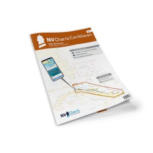
NV Charts Cuba 10.1 Northeast Cuba Cabo Maisí-Varadero is a comprehensive package of paper and digital charts for the northeast coast of Cuba, from Cabo Maisí in the east to Varadero in the west. The charts provide a good overview of coastal waters, approaches, harbors, fairway details and anchorages, and are particularly suitable for leisure sailing, cruising and coastal navigation in the Caribbean.
The chart set comes in a convenient atlas format with clear cartography, combined with digital access via the NV Charts app and PC/Mac. The digital charts can be used offline and provide flexible access to navigation data both during planning and sailing.
Features
Highly detailed paper charts in atlas format.
Digital access via the NV Charts app with offline use.
Detailed navigational information for coastal waters and approaches along the northeast coast of Cuba.
Port plans and anchorage areas for key destinations.
Map overview
The map set covers the coastline from Cabo Maisí to Varadero, including central waters and navigationally challenging areas with shoals, beacons and important shipping lanes.
Updates
Always delivered in the latest available edition from NV Charts. If a new and updated edition is launched within 30 days of purchase, the map can be exchanged for a new edition free of charge.
EAN / ISBN
9783945902325