Description
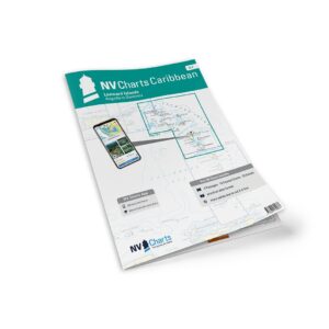
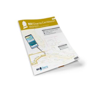
NV Charts Cuba 10.2 Varadero-Havana-Cabo San Antonio is a complete chart package of paper and digital nautical charts covering the northwest coast of Cuba from Varadero via Havana and west to Cabo San Antonio. The charts provide detailed navigational information on fairway details, approaches, ports, passages and anchorages – especially useful for leisure sailing, coastal cruising and planning in the Caribbean.
The package includes paper charts in a convenient atlas format with clear cartography and digital charts that can be used via the NV Charts app and PC/Mac. The digital charts can be used offline and provide up-to-date navigation data both during planning and sailing.
Features
Paper charts in atlas format with good detail and overview.
Digital access via the NV Charts app with offline use.
Detailed navigation data for Varadero, Havana and the Cabo San Antonio area.
Port plans, fairway details and passages for safe voyages.
Map overview
Passage maps and coastal maps covering:
Passages from Cabo San Antonio, Key West and Varadero at appropriate scales.
Detailed charts from Cabo San Antonio to Cayo Jutías, Cayo Jutías to Havana and Havana to Varadero.
Coastal charts and detailed charts for bays, channels and anchorages along the entire coastline.
Updates
Always delivered in the latest available edition from NV Charts. If a new and updated edition is launched within 30 days of purchase, the map can be exchanged for a new edition free of charge.
EAN / ISBN
9783932414428