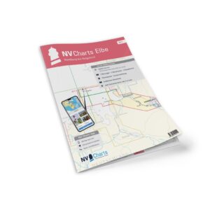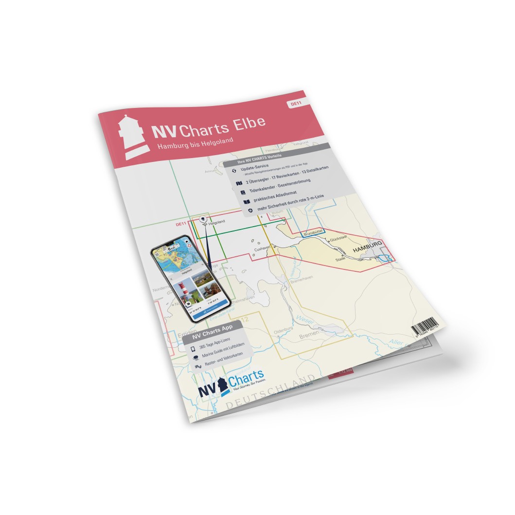
Description
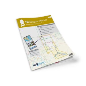
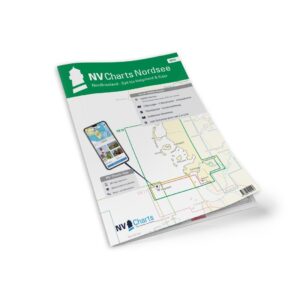
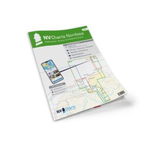
NV Charts DE11 Nordsee Elbe-Hamburg-Helgoland is a complete chart package with paper and digital charts for the central German North Sea coast, from the river Elbe at Hamburg down to the island of Helgoland. The charts provide detailed navigation data on tides, currents, fairway details, approaches and harbors – particularly relevant for North Sea voyages between Germany, the Netherlands and Denmark.
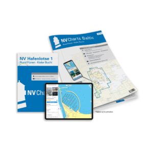
The package includes paper charts in atlas format with clear and detailed cartography, combined with digital access via the NV Charts app and compatible navigation solutions on PC/Mac and mobile devices. The digital charts can be used offline, giving you up-to-date information wherever you sail.
Features
Paper charts in atlas format with high level of detail and good overview.
Digital access via the NV Charts app (offline use).
Tide tables and current data included.
Detailed port plans and approaches for main ports such as Hamburg, Cuxhaven and Helgoland.
Navigation details in the North Sea between Elbe and Helgoland.
Map overview
C1 North Sea – Elbe to Helgoland (1:375 000).
C2 Elbe estuary and tidal areas (1:150 000).
C3 Cuxhaven approach (1:50 000).
C4 Weser river (1:75 000).
C5 Elbe-Elbing (1:100 000).
C6 Helgoland approach (1:50 000).
C7 North Sea coastal waters (1:250 000).
Detailed map of port areas and approaches in the area.
Updates
Always delivered in the latest available edition from NV Charts. If a new and updated edition is launched within 30 days of purchase, the map can be exchanged for a new edition free of charge.
EAN / ISBN
9783910644212