Description
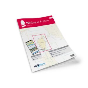
NV Charts France FR11 Corsica is a complete chart package of paper and digital nautical charts covering the coastal waters around the Mediterranean island of Corsica. The charts provide detailed navigational data on water conditions, approaches, ports, anchorages and sailing routes along this spectacular island, focusing on safe and accurate navigation for leisure sailing and coastal cruising.
The chart set comes in atlas format with clear and easy-to-read cartography, combined with digital access via the NV Charts app and PC/Mac. The digital charts can be used offline, so you have access to up-to-date navigation information both when planning at home and when sailing at sea.
Features
Paper charts in atlas format with high level of detail and good overview.
Digital access via the NV Charts app with offline use on multiple devices.
Detailed navigational information for the waters around Corsica.
Harbour plans, approaches, shipping lanes and anchorages along the coast.
Map overview
The chart set covers the entire coastline of Corsica with main charts and detail levels providing an overview of all relevant waters, bays, islands and harbors. The charts support navigation along the entire island ring and around adjacent coastal waters.
Updates
Always delivered in the latest available edition from NV Charts. If a new and updated edition is launched within 30 days of purchase, the map can be exchanged for a new edition free of charge.
EAN / ISBN
9783910644373