Description
NV Charts France FR3 St. Malo-Sept Îles is a complete chart package of paper and digital charts covering the coast of northern Brittany in France, from St. Malo west to Sept Îles. The charts provide detailed navigational information on water conditions, approaches, harbors, anchorages and sailing routes in these challenging and exciting waters with large tidal differences and strong currents.
The chart set comes in atlas format with clear and concise cartography, combined with digital access via the NV Charts app and PC/Mac. The digital charts can be used offline, so you have access to up-to-date navigation data both when planning at home and when sailing.
Features
Paper charts in atlas format with a high level of detail and overview.
Digital access via the NV Charts app with offline use on multiple devices.
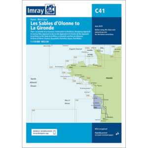
Detailed navigation information for the waters between St. Malo and Sept Îles.
Harbour plans, approaches, tide tables and anchorages along the north coast of Brittany.
Map overview
The chart set includes overview charts and detailed coastal charts that provide good support for navigation in the area. It covers passages, coastal waters and port areas from St. Malo eastwards, with charts providing levels of detail for bays, cliffs and shipping lanes.
Updates
Always delivered in the latest available edition from NV Charts. If a new and updated edition is launched within 30 days of purchase, the map can be exchanged for a new edition free of charge.
EAN / ISBN
9783910644380