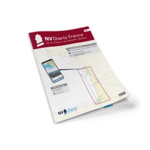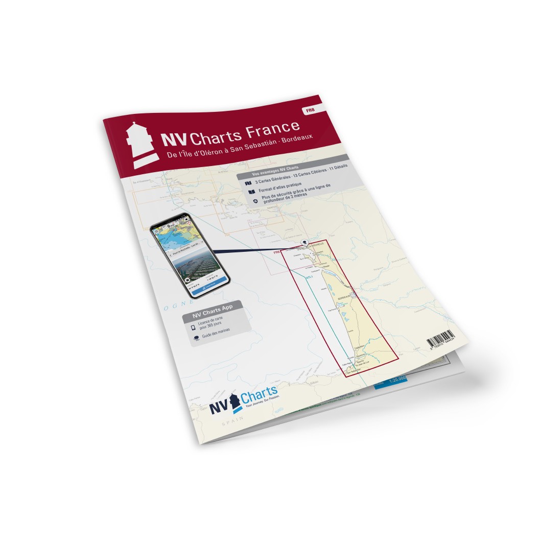
Description
NV Charts France FR8 Oléron-San Sebastián & Bordeaux is a comprehensive chart package of paper and digital nautical charts covering the southwest French Atlantic coast and into Spanish waters from Île d’Oléron southeast to San Sebastián and the Bordeaux area. The charts provide detailed navigational information on water conditions, approaches, harbors, tides, sailing routes and anchorages along this long and varied stretch of coastline.
The chart set comes in atlas format with clear and concise cartography, combined with digital access via the NV Charts app and PC/Mac. The digital charts can be used offline, so you have access to up-to-date navigation data both when planning at home and when sailing.
Features
Paper charts in atlas format with a high level of detail and overview.
Digital access via the NV Charts app with offline use on multiple devices.
Detailed navigation information for the waters between Oléron, San Sebastián and Bordeaux.
Port plans, approaches, tide tables and sailing routes for the coastal waters along France and northern Spain.
Map overview
The chart set covers coastal waters along the west coast of France from Île d’Oléron and south along the Bay of Biscay to the Atlantic coast of northern Spain at San Sebastián and the Bordeaux area inland. The charts provide good support for both coastal sailing and longer legs in this water area.
Updates
Always delivered in the latest available edition from NV Charts. If a new and updated edition is launched within 30 days of purchase, the map can be exchanged for a new edition free of charge.
EAN / ISBN
9783910644434