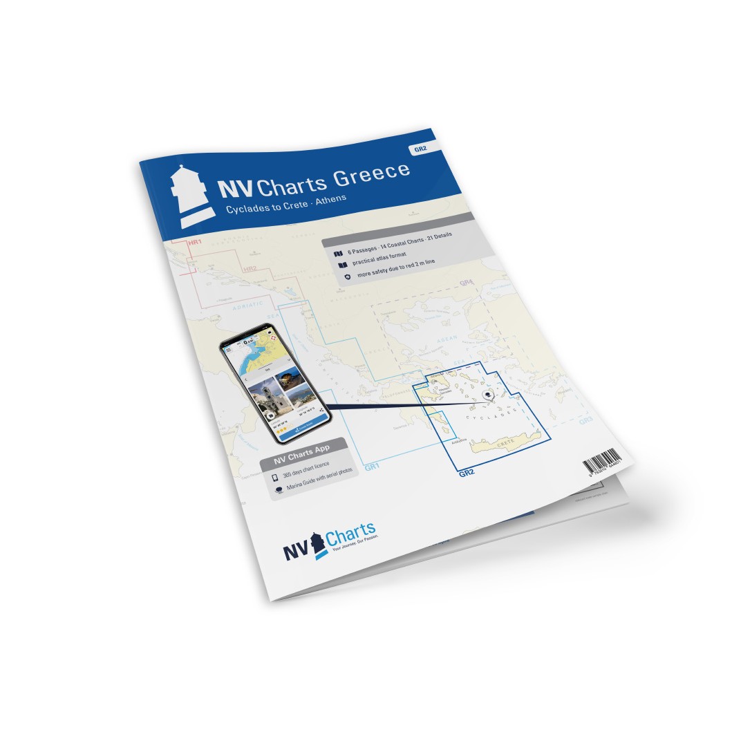
Description
NV Charts Greece GR2 Cyclades to Crete & Athens is a complete chart package with paper and digital charts covering a large and popular sailing area in the Aegean Sea from the classic Cyclades via the Athens coast to northeastern Crete. The charts provide detailed navigational information on water conditions, approaches, bays, harbors, anchorages and sailing routes, and are designed for both leisure sailors and active cruisers who want a good overview and safe route planning.
The map pack first contains overview and passage maps that provide a holistic perspective for longer stages, including a broad map of Greece in the Aegean at a scale of 1:1,750,000, a map for the Cyclades area at 1:950,000, the map for Akra Maléas to Crete via Milos at 1:350,000, Akra Vathy to Andros and Athens at 1:350,000, Cyclades Central at 1:350,000 and Cyclades South to Crete at 1:350,000.
Detailed coastal maps at medium scales provide coverage of the most important waterway segments. These include the stretch from Kytira to Argolikos Bay at 1:150,000, Argolikos Bay to Poros at 1:150,000, the western Sporades from Corinthos to Gaidouroniso at 1:150,000, Gaidouroniso to Andros at 1:150 000, Cyclades Northwest with Kéa to Sérfios in 1:150 000, Cyclades with Andros to Páros in 1:150 000, Cyclades with Tínos to Náxos and Mykonos in 1:150 000, and Cyclades with Náxos to Milos and Síkinos in 1:150 000. Furthermore, the Central Cyclades with Síkinos to Náxos in 1:150,000, the Cyclades with Náxos to Astypalaia in 1:150,000, the Cyclades with Síkinos to Thira in 1:150,000 and the coasts around Crete west, center and east in scales from 1:200,000 are provided, so that the entire complex island area is covered.
For precise navigation in harbors, inlets and more complex waters, a comprehensive range of detailed maps at larger scales is included. This includes maps for Nafplion and Argolikos Bay at 1:10,000, Stenó Spetsón to Spétsai at 1:12,000, Liménas Pógonos to Póros at 1:10,000, Stenó Metópis to Aígina at 1:12,000, the ports of Athens at 1:20,000, Lavrion and the Olympic area at 1:8,800, Órmos Gávrion on Andros in 1:20,000, Korissía on Kéa in 1:15,000, Sitéia on Crete in 1:10,000, Foínix on Sýros in 1:25,000, Livádion on Sérifos in 1:15,000, Mykonos in 1:30,000, Náousa on Páros in 1:25,000, Stenó Antipárou in 1:40,000 and Órmos Náxos in 1:30,000. More detailed maps also cover passages and smaller islands such as Stenó Mílou-Kímólou (1:40,000), Íos (1:20,000), Stenó Koufónisos (1:10,000), Astipálaia (1:17,000), Thíra in 1:70,000 and the eastern coast of Crete from Akra Ágios Ioannis to Nikólaos in 1:50,000.
The chart set is delivered in atlas format combined with digital access through the NV Charts app and PC/Mac, allowing you to use the charts offline on multiple devices. The digital charts provide up-to-date navigation data, harbor plans and anchoring information useful for both planning and sailing. Legend and general navigation notes are included for increased usability and safer navigation.
Always delivered in the latest available edition from NV Charts. If a new and updated edition is launched within 30 days of purchase, the map can be exchanged for a new edition free of charge.