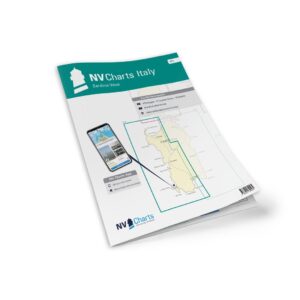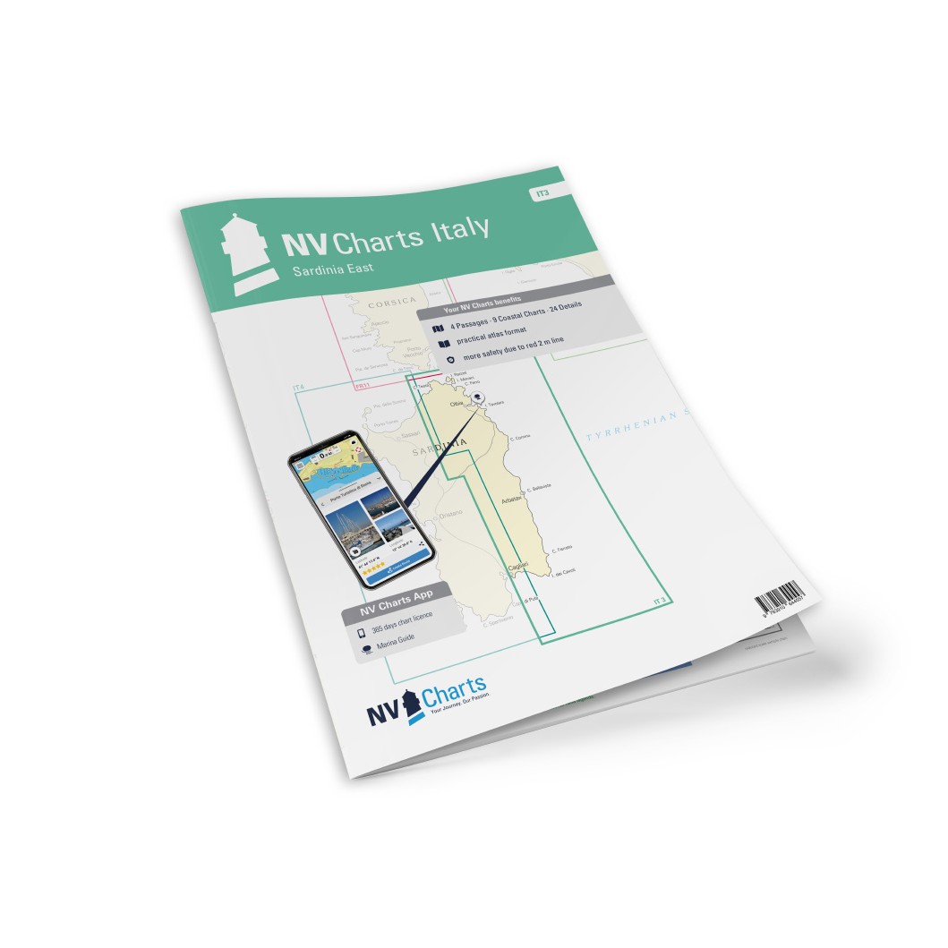
Description
NV Charts Italy IT3 Sardinia East is a comprehensive paper and digital chart package covering the east coast of Sardinia from the north at Costa Smeralda via Olbia and Golfo di Orosei to the south at Costa del Sud. The chart pack provides detailed navigational information on the waters, approaches, ports, anchorages and sailing routes in this spectacular Mediterranean area and is suitable for leisure sailing, coastal cruising and coastal navigation along the east coast of Sardinia. :contentReference
The map package first provides clear passage maps for planning and longer stages with Mallorca to Sicily (C0, 1:1,750,000), Sardinia (C1, 1:650,000), Sardinia North (C2, 1:350,000) and Sardinia East (C3, 1:350,000), which provide good global orientation of the area. :contentReference
Detailed coastal information is covered with territory maps that include sea passages, bays, capes and straits: Strait of Bonifacio (C4, 1:150 000), Porto Cervo to Capo Camino (C5, 1:150 000), Capo Camino to Capo Bellavista (C6, 1:150 000), Capo Bellavista to Capo Ferrato (C7, 1:150 000), Capo Ferrato to Capo Spartivento (C8, 1:150 000), Strait of Bonifacio South (C9, 1:60 000), Porto Cervo to Capo Figari (C10, 1:60 000), Capo Figari to Capo Coda Cavallo (C11, 1:60 000) and Capo Carbonara (C20D, 1:50 000). :contentReference
A large number of detailed maps provide harbor plans, approaches and local navigation details for popular locations including Arcipelago di La Maddalena West (C12, 1:30 000), Arcipelago di La Maddalena East (C13, 1:30 000), Golfo di Congianus (C14, 1:30 000), Golfo di Olbia (C15, 1:30 000), Capo Testa (C16A, 1:25 000), Santa Teresa Gallura (C16B, 1:12 000), Passo Cecca di Morto (C16C, 1:12 000), Palau to La Maddalena (C17A, 1:15 000), La Maddalena – Passo della Moneta (C17B, 1:15 000), Cannigioni (C18A, 1:12 000), Stentino dell’Orso (C18B, 1:12 000), Porto Cervo (C18C, 1:12 000), Marinella (C18D, 1:10 000), Portisco – Porto Rotondo (C18E, 1:15 000), Olbia Approach (C19A, 1:25 000) and Olbia (C19B, 1:15 000). :contentReference
Further sailing and harbor details include Marina di Puntaldia (C19C, 1:6,000), Porto Ottiolu (C19D, 1:6,000), La Caletta (C19E, 1:6,000), Cala Gonone (C19F, 1:6,000), Porto Corallo (C19G, 1:6,000), Arbatax (C20A, 1:25,000), Villasimius (C20B, 1:6,000) and Porto Armando (C20C, 1:6,000), giving sailors levels of detail down to the smallest bays and inlets. :contentReference
The chart set is delivered in atlas format combined with digital access via the NV Charts app and for PC/Mac, allowing you to use the charts offline on multiple devices. This provides both home navigation and real-time use on board, with support for autorouting, satellite overlay and port guide in the app. The chart set also includes harbor plans in paper and digital format, with all necessary notes for navigation. :contentReference
Always delivered in the latest available edition from NV Charts. If a new and updated edition is launched within 30 days of purchase, the map can be exchanged for a new edition free of charge.