Description
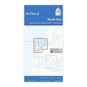
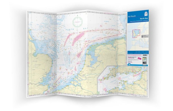
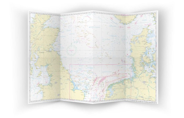
NV Charts Pilot 2 North Sea Falmouth-Kristiansand & Inverness is a large planning chart for the North Sea covering the stretch from Falmouth in southwest England, along the British east coast, across the North Sea to Kristiansand, and further north to Inverness in Scotland. The chart is particularly suitable for long distance sailing, sailing between Scotland and Scandinavia and general route planning over large distances in the North Sea area.
The map is published in large A1 format folded down to a practical size for the chart table. It provides a good overview of large distances, sailing routes, lighthouses, guide lines, distances and important navigational details. In addition, information on wind and current conditions in the North Sea is included, as well as explanations of symbols and abbreviations, in English and German.
Features
Large folded planning chart in A1 format for easy handling.
Detailed overview of the North Sea with key sailing routes and navigation details.
Wind and current information for strategic route planning.
Applications
Ideal for planning long distance voyages in the North Sea, including voyages from Falmouth to Scotland or Norway, or as an overview chart before detailed planning with local charts.
Updates
Always delivered in the latest available edition. If a new and updated edition is launched within 30 days of purchase, the map can be exchanged for a new edition free of charge.
EAN / ISBN
9783945902837