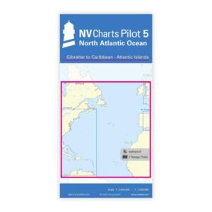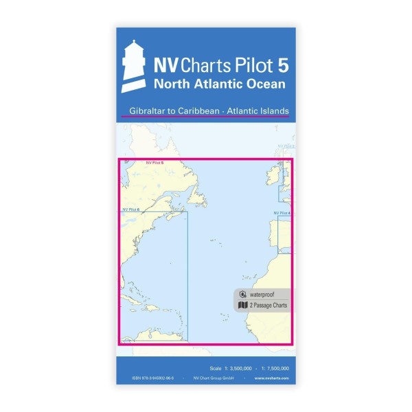
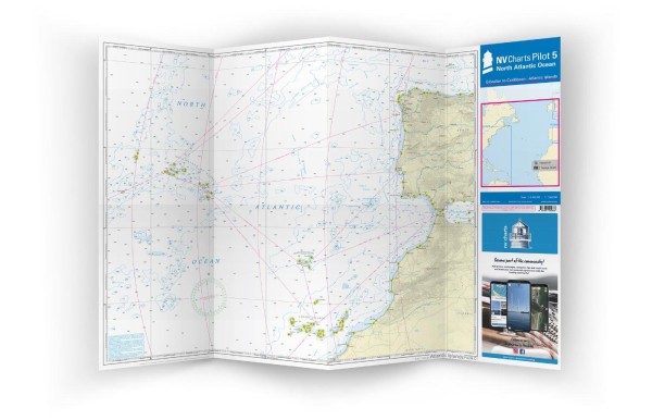
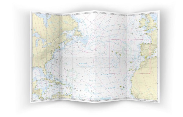
Description
NV Charts Pilot 5 North Atlantic Ocean is a comprehensive planning chart for the Atlantic Ocean covering voyages from Gibraltar in the east to the Caribbean and the Central Atlantic Islands in the west. Designed for long-distance cruising, overseas routes and general planning over large stretches of ocean, the chart provides a detailed overview of sailing routes, distances, fairway details and key navigation points.
The chart is published in large A1 format, folded down to a convenient size for use on the chart table. It provides a good overview of the Atlantic Ocean and includes information on wind patterns, currents and other navigational elements that are important when planning transatlantic voyages.
Features
Planning charts in A1 format that fold to a convenient size for use at the chart table.
Detailed overview of the North Sea’s magnificent routes between Europe and the Caribbean.
Information on wind patterns, ocean currents and strategic sailing routes that are optimal for long-distance sailing.
Application
Ideal for planning long-distance voyages in the Atlantic, especially for routes between Europe (Gibraltar) and the Caribbean/Atlantic Islands. The map provides an overall picture for route selection and strategy before detailed planning with local charts.
Updates
Always delivered in the latest available edition. If a new and updated edition is launched within 30 days of purchase, the map can be exchanged for a new edition free of charge.
EAN / ISBN
9783945902868