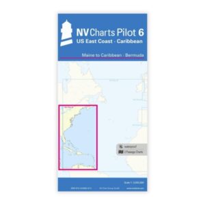
Description
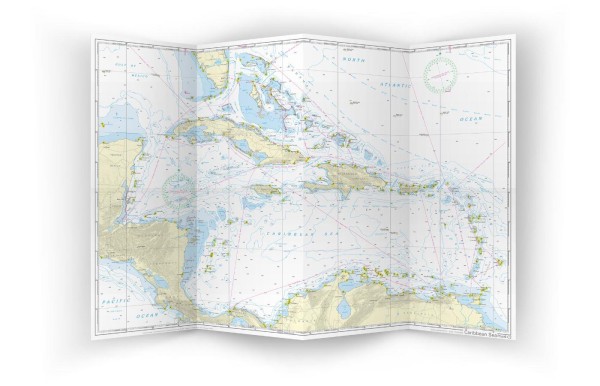
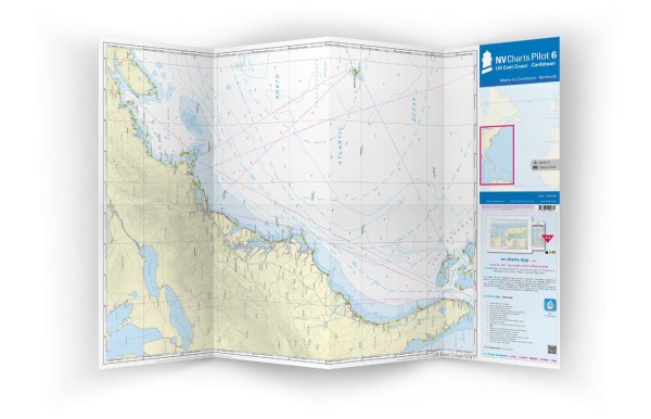
NV Charts Pilot 6 US East Coast is a comprehensive planning chart for the east coast of the United States, covering voyages from Maine in the north, through the coast south, and on to the Caribbean and Bermuda. Designed for long-distance, coastal and overseas routes, the chart provides a detailed overview of sailing options, distances, key navigation points and waterway details.
The map is published in a large A1 format that folds down to a convenient size for use at the chart table. It provides a good overview of the east coast of the USA, Caribbean waters and Bermuda, and includes information on sailing routes, harbors, lighthouses, distances as well as wind and current conditions useful for planning before detailed navigation.
Features
Planning chart in A1 format that folds to a convenient size for use at the chart table.
Detailed overview of the east coast of the USA from Maine to the Caribbean and Bermuda.
Information on important sailing routes, wind patterns and ocean currents for long-distance voyage planning.
Application
Ideal for planning voyages and long-distance sailing along the east coast of the USA, as well as for routes that continue south to Bermuda and the Caribbean. The map provides an overall picture before detailed planning with local charts.
Updates
Always delivered in the latest available edition. If a new and updated edition is launched within 30 days of purchase, the map can be exchanged for a new edition free of charge.
EAN / ISBN
9783945902875