Description
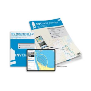
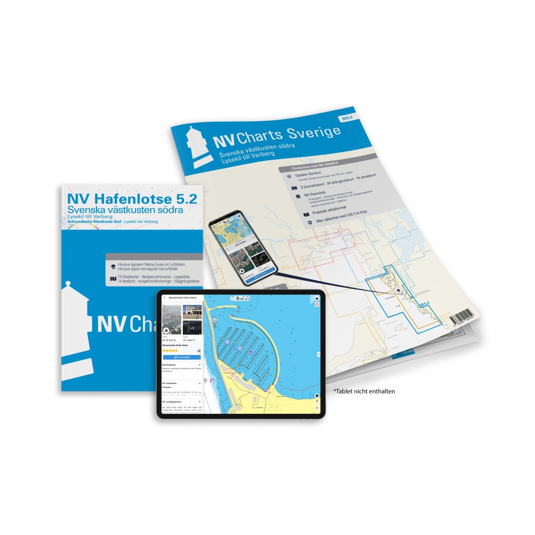
NV Charts SE 5.2 Svenska västkusten södra is a complete chart package with both paper and digital charts for the southern part of the Swedish west coast, from the area around Lysekil south to Varberg and on to Gothenburg. The charts have been specially developed for leisure boats and sailing in archipelagos and coastal areas, and provide detailed information on fairway details, approaches, ports and sailing routes.
The package comes in a convenient atlas format with A3 paper charts, combined with digital access via the NV Charts app and PC/Mac. The digital charts can be used offline and activated on up to 5 devices, so you can use them on your smartphone, tablet or PC on board and ashore. :contentReference
Characteristics
Paper maps in atlas format with a good overview and high level of detail.
Digital access via NV Charts (app + PC/Mac) with offline use.
Detailed map basis for sailing, approaches and port calls in southern parts of the Swedish west coast.
Map overview
The NV Charts SE 5.2 set includes several overview charts, archipelago charts and detailed charts for the area. These charts provide navigation information from Lysekil in the north to Varberg in the south, including archipelago terrain, fairway overviews and harbor plans. :contentReference
Updates
Always delivered in the latest available edition from NV Charts. If a new and updated edition is launched within 30 days of purchase, the map can be exchanged for a new edition free of charge.
EAN / ISBN
9783945902059