Description
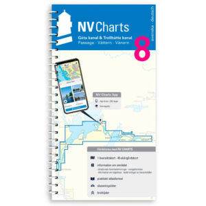
NV Charts Binnenband 8 Göta Canal & Trollhätte Canal is a detailed set of paper and digital nautical charts specifically designed for navigating Sweden’s unique canal system. Covering the entire stretch from Mem to Gothenburg, including the passages through lakes Vättern and Vänern, this chart set provides comprehensive navigation information for recreational boaters in the area. :contentReference
The maps are supplied in a practical atlas format and are produced at a scale of 1:35,000 with detailed information on water depths, passage heights, locks, ports and other important points. Warnings and hazards are highlighted, and the text is in both Swedish and German for better understanding. :contentReference
Characteristics
Paper maps in atlas format with a high level of detail and good overview.
Digital access via the NV Charts app (iOS, Android, PC/Mac) with offline use.
Covers the entire canal system from Mem to Gothenburg with locks and lake passages.
Detailed information about depths, bridges, locks and port calls :contentReference
Map overview
The map set consists of **36 sub-maps** covering the entire canal and associated lakes in detail with navigation information for the entire stretch from Mem to Gothenburg, including Lake Vättern and Lake Vänern. :contentReference
Updates
Always delivered in the latest available edition from NV Charts. If a new and updated edition is launched within 30 days of purchase, the map can be exchanged for a new edition free of charge.