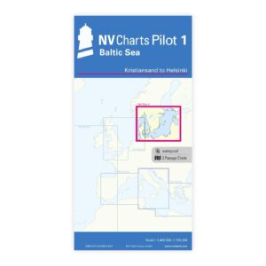
Description
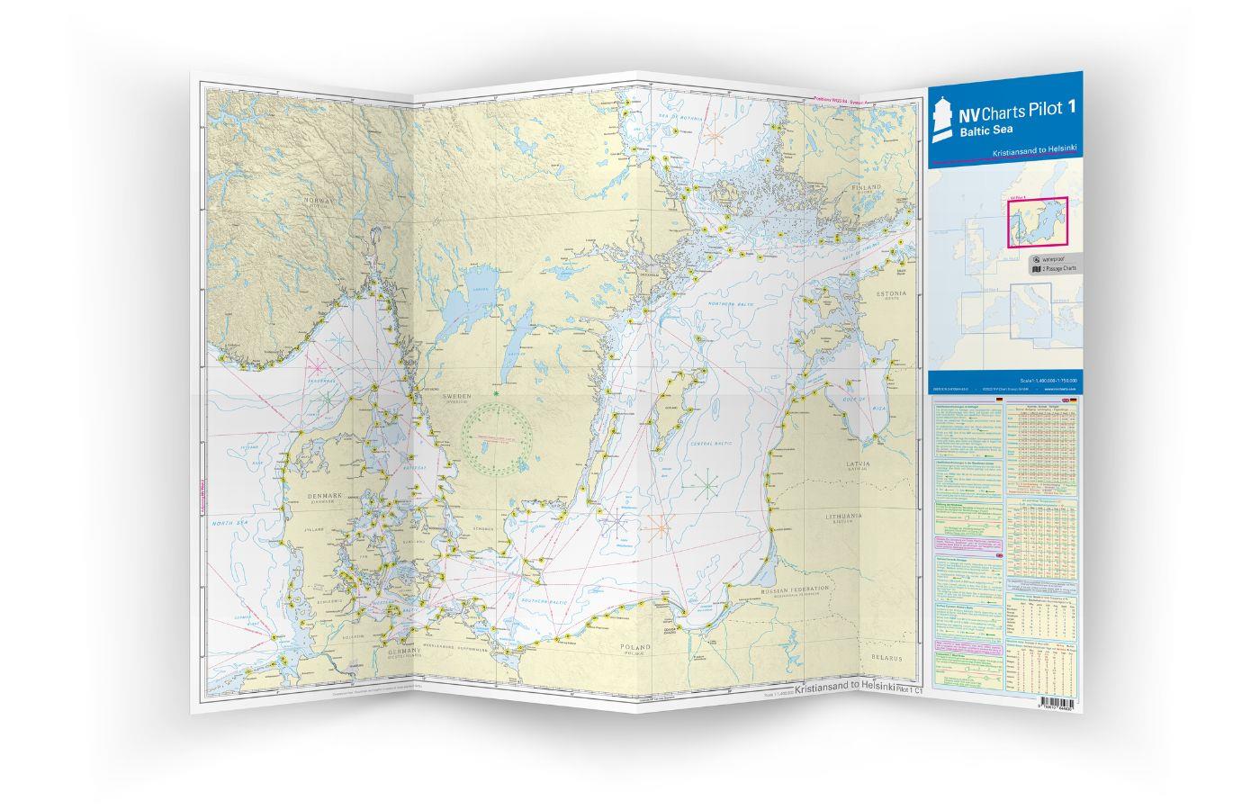
NV Pilot 1 Baltic Sea Kristiansand-Helsinki is a practical planning chart for sailing in the Baltic Sea, focusing on the stretch from Kristiansand to Helsinki. The chart consists of two overview charts showing the waters of the Skagerrak, Kattegat and the rest of the Baltic Sea, and is specially designed for route planning and overview of long distances before setting out on a long voyage.
The front of the map shows the waters from Skagerrak (around Flekkefjord) to Helsinki at a scale of 1:1,400,000, while the back covers the area from Kiel to Oslo at a scale of 1:750,000. Both maps contain important lighthouses, sailing routes and distances that are useful for planning crossings. In addition, information on wind directions for representative months, main currents in the Kattegat and Skagerrak, as well as explanations of symbols, local currents and climate information are included in English and German. :contentReference
This map comes as a large, folded map in A1 format that folds down to approx. 15 x 30 cm – perfect for route planning at the map table or at home before departure. :contentReference
Characteristics
Practical planning map in A1 format that folds up for easy handling.
Shows important navigational markings, sailing routes and distances for the main waters of the Baltic Sea.
Includes wind stars and current data for Kattegat & Skagerrak, as well as explanations and local information in English and German. :contentReference
Application area
Ideal before long-distance sailing through the Baltic Sea, for planning routes from Kristiansand to Helsinki, and for a general overview of the main waters in the area.
Updates
Always delivered in the latest available edition. If a new and updated edition is launched within 30 days of purchase, the map can be exchanged for a new edition free of charge.
EAN / ISBN
9783945902820