Description
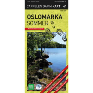
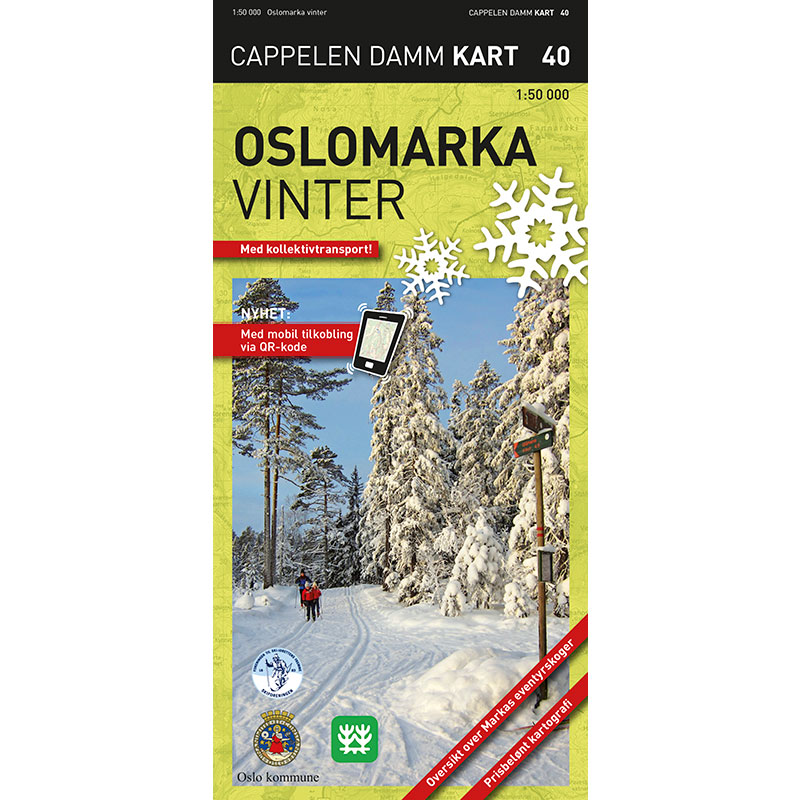
Oslomarka – winter is the second edition of the comprehensive winter hiking map of the forests around Oslo, published in 2014. The map has a scale of 1:50,000 and covers the entire Oslomarka on one map sheet.
The map covers Kjekstadmarka, Vestmarka, Bærumsmarka, Krokskogen, Nordmarka, Romeriksåsene, Lillomarka, Gjelleråsen, Østmarka and parts of Sørmarka. This provides a comprehensive and clear presentation of the entire field area for winter use.
The winter edition shows both groomed and ungroomed ski trails, as well as information about restaurants, accommodation and other useful information for hikers and skiers. Public transport is marked so that the map can be used to plan your entire trip – from your own front door and out into the field.
Unique to this map is that the fairytale forests of Oslomarka are marked. Eventyrskog is a term used by the Norwegian Society for Nature Conservation to describe old-growth forests with a high adventure value and a low degree of technical intervention. More than 100 areas in Oslomarka have been given this designation.
The map is printed on weatherproof paper with high durability and good rain tolerance. Mountain shading provides a clear understanding of the terrain, and selected blue-marked trails have indicated walking times in hours. The information is updated in collaboration with DNT and Skiforeningen.
Cappelen Damm no longer publishes maps and atlases. This product is sold from existing stock, and will be available while stocks last. When the stock is empty, the map will not be printed in a new edition.