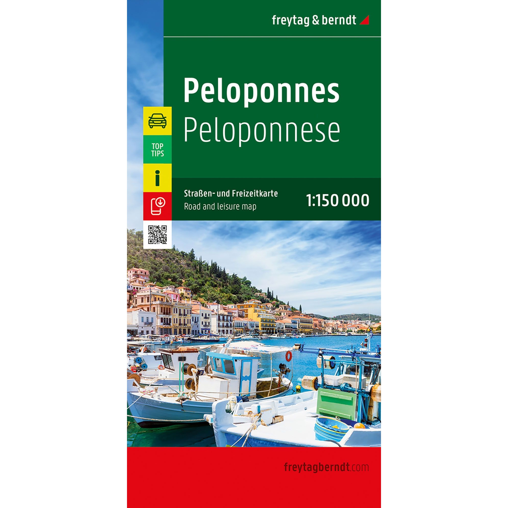
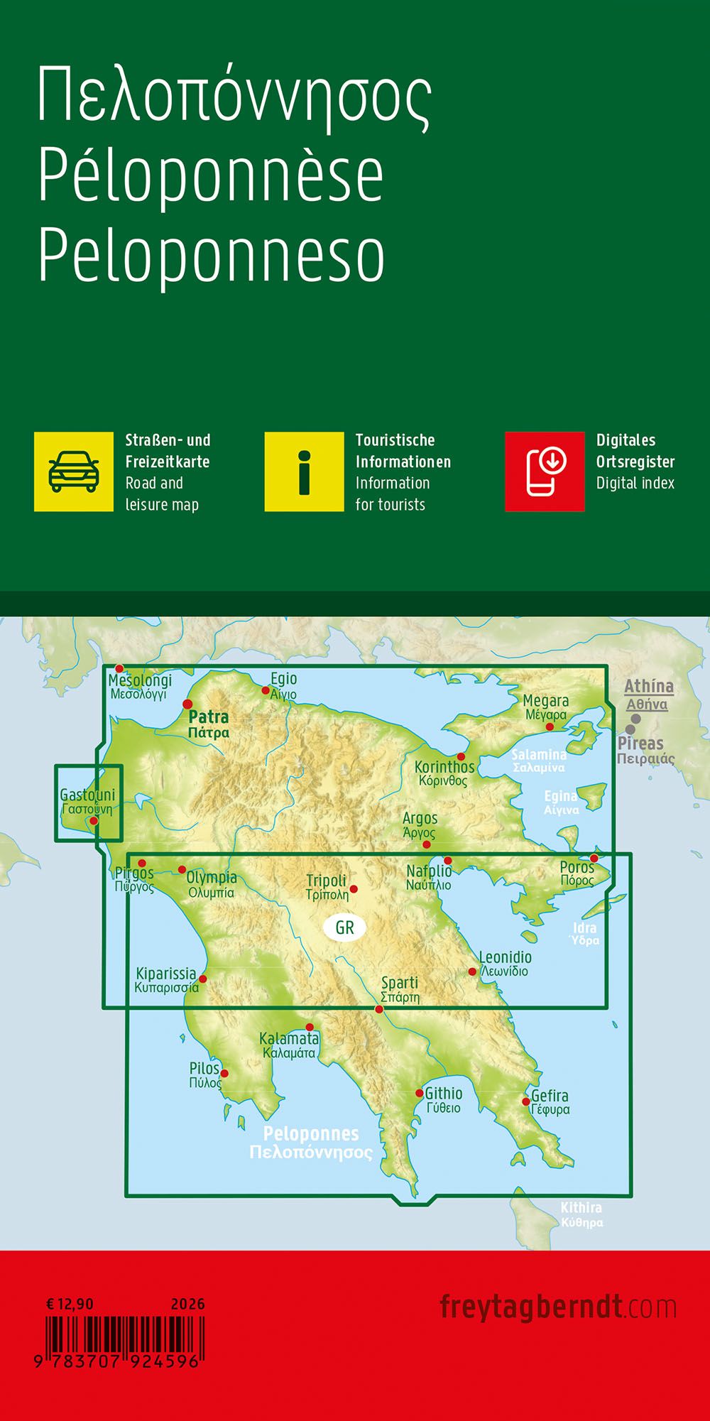
Description
Peloponnese – road map (multilingual) from freytag & berndt is a detailed road and leisure map for those who want to explore the Greek peninsula of the Peloponnese by car, motorcycle or motorhome. Published in 2025, the map provides a precise and clear representation of the entire region at a scale of 1:150,000.
The well-developed road network is clearly marked, with distances, important junctions and landscape features that make the map suitable for both route planning and navigation along the way. Scenic stretches of road are highlighted, and a number of sights, historical sites, viewpoints and tourist destinations are marked on the map. Campsites and caravan parks are also marked, making the map particularly useful for travelers who move freely in the region.
All place names are listed in both Greek and Latin alphabets, making the map easy to use for international visitors. The map is printed in a large, clear format, is double-sided and comes with a digital place index that can be accessed via QR code.
On the back of the map, you’ll find a digital info guide with Top Tips, where the most important experiences and sights in the Peloponnese are briefly described in several languages. This provides plenty of inspiration for cultural, natural and beach experiences, and makes the map a useful tool both before and during your trip.