Description
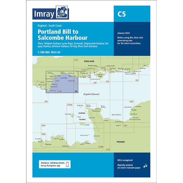
This boating map covers the stretch from Portland Bill to Salcombe Harbour along the south coast of England. The area includes parts of the English Channel with varied coastal conditions, open stretches of sea and several important harbors and approaches that are central to recreational boats and sailors.
The chart is designed for route planning and overview navigation for coastal voyages in an area known for strong tidal currents, weather influences and busy waters. It provides a clear representation of coastlines, main fairways and key approaches, and is often used in combination with more detailed harbor and local charts for safe navigation.
Imray is a renowned British chart manufacturer with extensive experience in nautical charts and publications for leisure boats. Designed for practical use on board, their charts combine clear cartography with reliable nautical information for sailors and powerboaters.