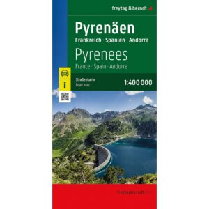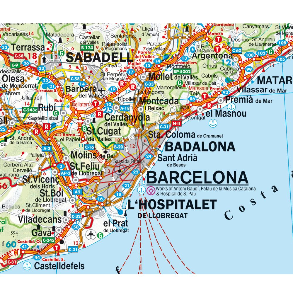
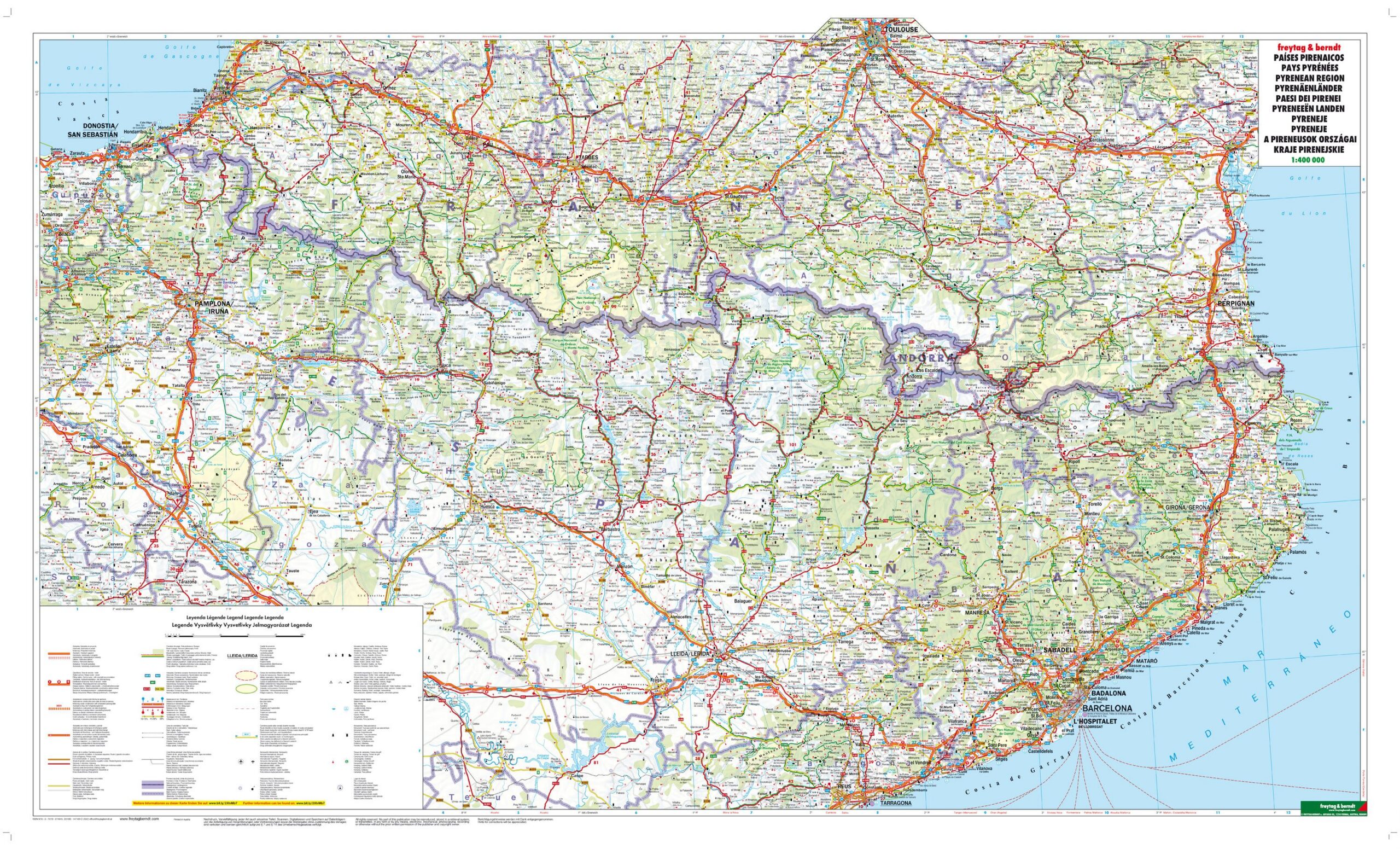
Description
Covering the entire Pyrenees, including the border areas between France, Spain and Andorra, this road map provides a good basis for both travel planning and navigation in the mountain region. The map shows a detailed and fine-meshed road network that makes it easy to get your bearings, whether you’re traveling by car, motorcycle or motorhome. In addition, a number of tourist destinations, sights and practical stops such as campsites are marked, making the map useful both before and during your journey.
The cartography is clear and easy to read, with a good balance between detail and overview, which is particularly important in an area with many mountain passes and minor roads. It provides a good overview of both main routes and more scenic alternatives, and is well suited for travelers who want to explore the region in more depth. The format also makes it suitable for use as a planning map.
Release year: 2026.