Description
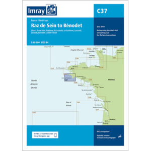
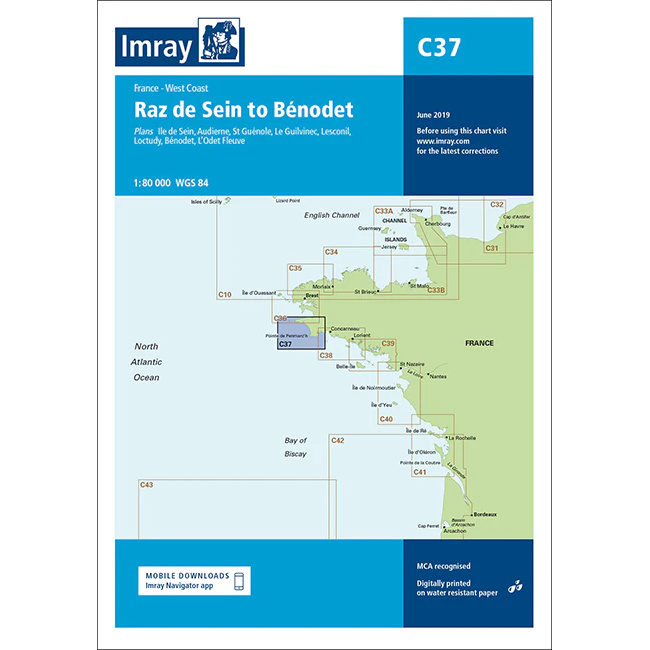
This boating map covers the coastline of Brittany’s west coast from Raz de Sein in the north to Bénodet in the south. The map includes detailed plans and approaches to key ports and harbors such as Île de Sein, Audierne, Saint-Guénolé, Le Guilvinec, Loctudy, Bénodet and the Odet River inlet.
The map is well suited for leisure boats and sailboats traveling along this part of the Brittany coast, either as part of coastal sailing or when planning demanding stages in an area known for strong tidal currents and exposed stretches of sea. The area around Raz de Sein in particular places high demands on navigation and time planning, which the map provides good support for.
Imray is a recognized British chart manufacturer with extensive experience in nautical cartography for leisure and long-distance sailing. Their charts are developed with a focus on practical use, high readability and clear presentation of navigation-relevant information.