
Description
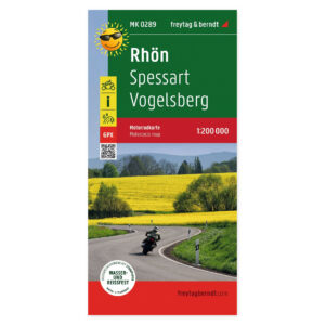
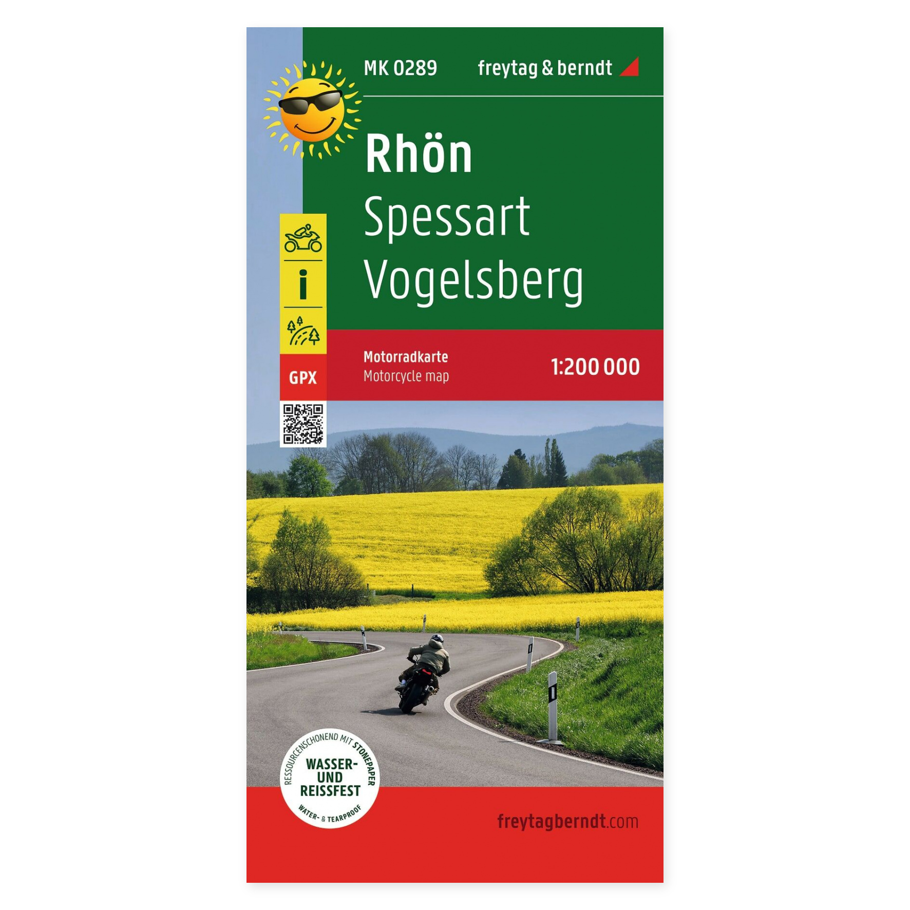
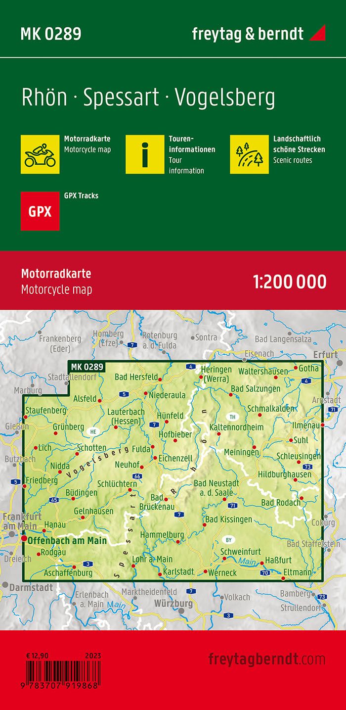
The Rhön, Spessart and Vogelsberg motorcycle map at a scale of 1:200,000 is designed for planning motorcycle tours. This map provides a comprehensive paper base for comparing routes, selecting stages, and visualizing the relative locations of potential stops.
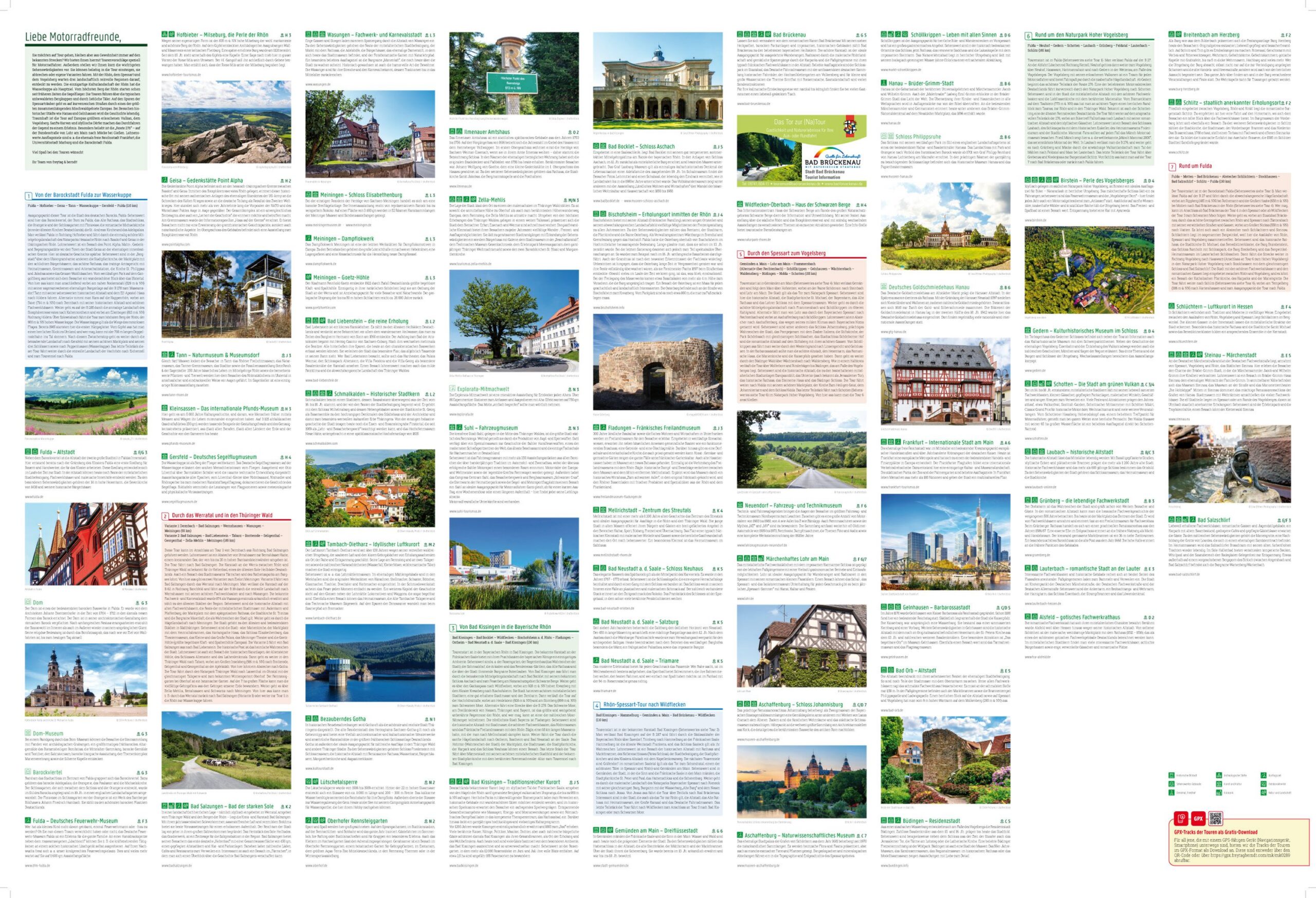
985 km of marked motorcycle tours offer concrete route options in the area. Scenic road sections are highlighted, and tour information simplifies choosing between various possibilities before you set off.
Motorcycle meeting points and GPX tracks supplement the map. Follow the supplier’s instructions included with the map for digital access to the tracks. The paper version provides an overview when planning your trip with others.
Waterproof and tear-resistant material makes the map suitable for travel. You can unfold it for planning and fold it up for packing.
Practical information: Scale 1:200,000, equivalent to 2.0 km per centimeter. Unfolded format approx. 61 × 90 cm. Publication year 2023. ISBN 9783707919868. Publisher Freytag & Berndt.