Description
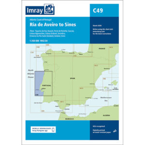
This boating map covers the Portuguese Atlantic coast from the Ria de Aveiro in the north to Sines in the south. The map includes detailed plans of key ports and approaches such as Figueira da Foz, Nazaré, Peniche, Cascais, the Lisbon area (including Lisbon, Setúbal and Sesimbra) and the approach to Sines.
The chart is well suited for leisure boats and sailboats traveling along the west coast of Portugal, both for coastal navigation and route planning between major ports. The overview also makes it suitable for supporting longer legs along the Atlantic coast, where weather and current conditions can play an important role.
Imray is a renowned British chart manufacturer with extensive experience in nautical cartography for leisure and long-distance sailing. Their charts are renowned for their clear presentation, practical selection of port plans and focus on the needs of the sailor.