Description
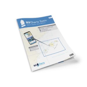
NV Charts Spain ES2 Ibiza-Menorca is a complete chart package of paper and digital nautical charts covering the western Balearic Islands in the Mediterranean, from Ibiza via Formentera and Mallorca to Menorca. The charts provide detailed navigational information on water conditions, approaches, harbors, sandbanks, underwater relief and anchorages in this popular sailing and holiday area.
The chart set comes in atlas format with clear and concise cartography, combined with digital access via the NV Charts app and PC/Mac. The digital charts can be used offline, so you have access to up-to-date navigation data both when planning at home and when sailing.
Characteristics
Paper maps in atlas format with a high level of detail and good overview.
Digital access via the NV Charts app with offline use on multiple devices.
Detailed navigation information for the waters around Ibiza, Formentera, Mallorca and Menorca.
Port plans, sailing routes, depths and anchorage areas throughout the Balearic Islands.
Map overview
The map set covers the sea areas between Ibiza, Formentera, Mallorca and Menorca with master charts and levels of detail to support navigation between the islands and around the coastlines. The charts provide great support for both coastal sailing and longer trips in this popular Mediterranean area.
Updates
Always delivered in the latest available edition from NV Charts. If a new and updated edition is launched within 30 days of purchase, the map can be exchanged for a new edition free of charge.
EAN / ISBN
9783910644250