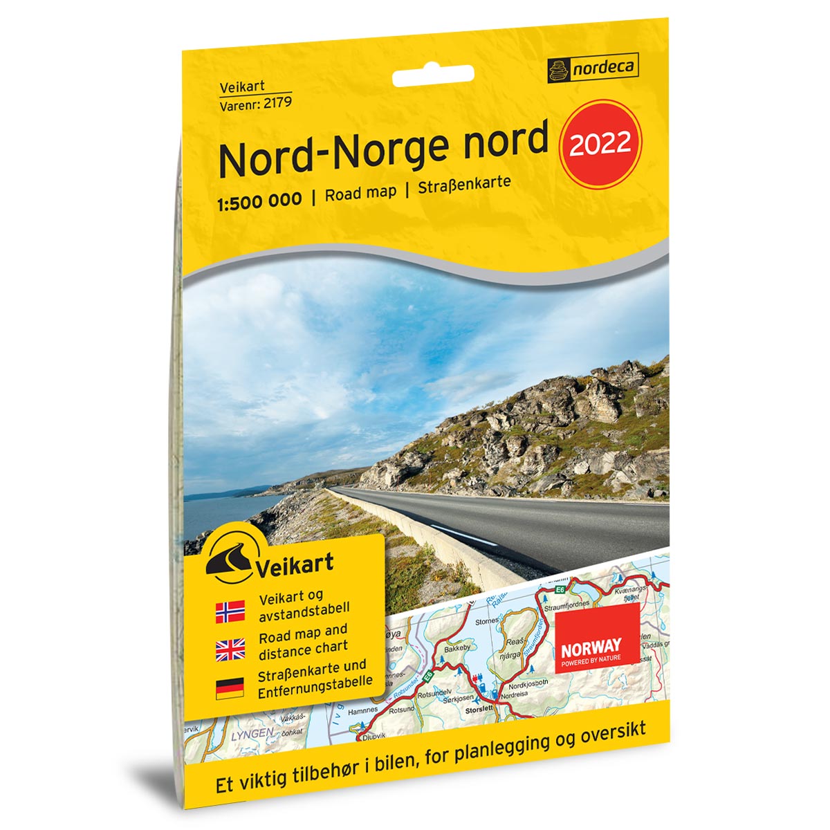
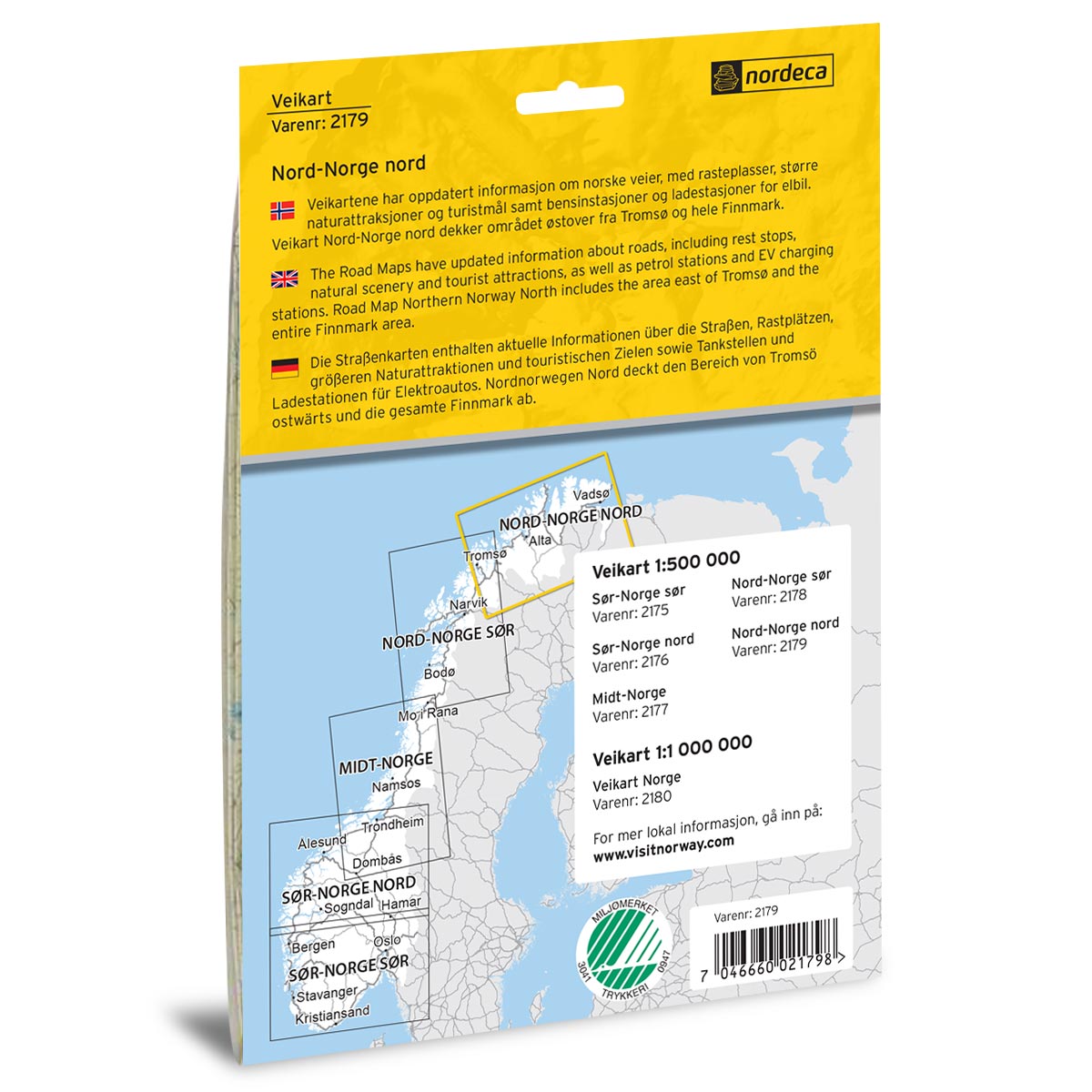
Description
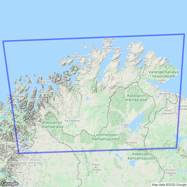
Road Map Northern Norway North is a paper map at a scale of 1:500,000 (1 cm = 5 km) covering the northernmost part of Norway, including large regions such as Troms and Finnmark with cities and areas like Tromsø, Alta, Hammerfest, Honningsvåg, Nordkapp, Vardø, and most of Finnmark. The map provides a clear overview of national and county roads, a detailed road network with distance tables, rest stops, ferry connections, petrol stations, and EV charging stations, as well as a selection of natural and cultural attractions that may be useful for your trip.
The map was published in 2022. Although some roads, facilities, and destination details may have changed since its release, Road Map Northern Norway North still provides a good overview of the area and is well-suited as inspiration and travel assistance for your road trip – whether you are planning in advance or using the map while driving.
The map covers places such as Tromsø, Alta, Hammerfest, Honningsvåg, Nordkapp, and Vardø.