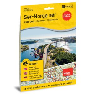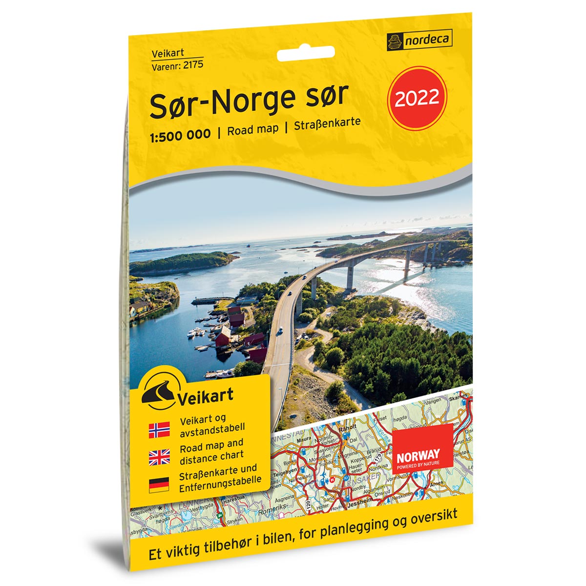

Description
Road Map Southern Norway South is a foldable paper-based road map at a scale of 1:500,000 (1 cm = 5 km) covering Southern Norway, from the area south of the Voss–Hamar line all the way down to Lindesnes. The map includes roads, rest areas, petrol stations, electric vehicle charging stations, ferry connections, a distance table, and major natural and cultural destinations, providing a practical overview for planning and executing your journey.
Published in 2022 and produced with updated road information. Although some roads, facilities, or details related to destinations may have changed since its publication, this road map still provides an excellent overview of the area and is well-suited as inspiration and a travel aid for your road trip.
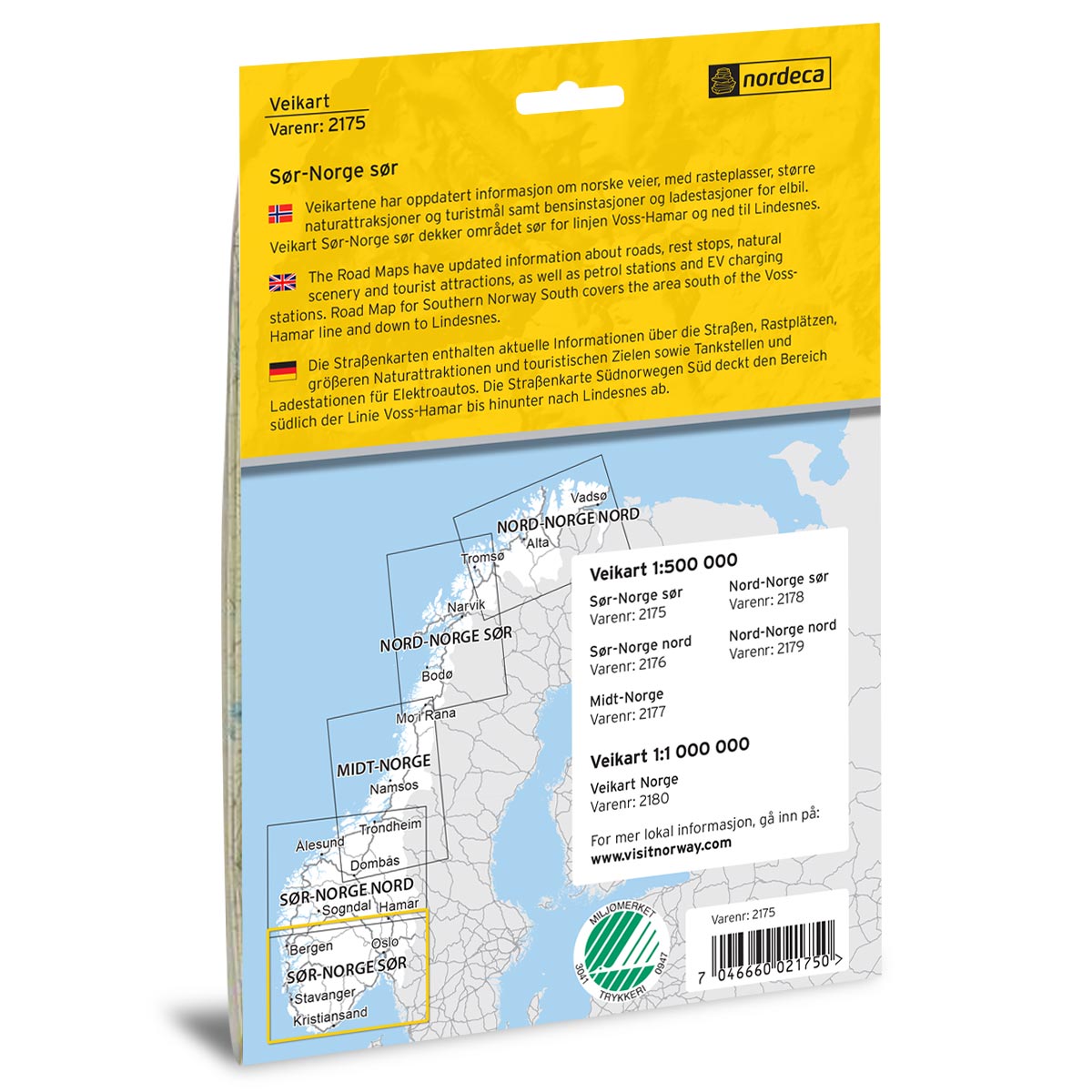
The map covers places such as Oslo, Drammen, Fredrikstad, Kristiansand, Stavanger, Haugesund, and Bergen.