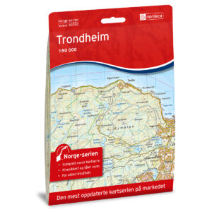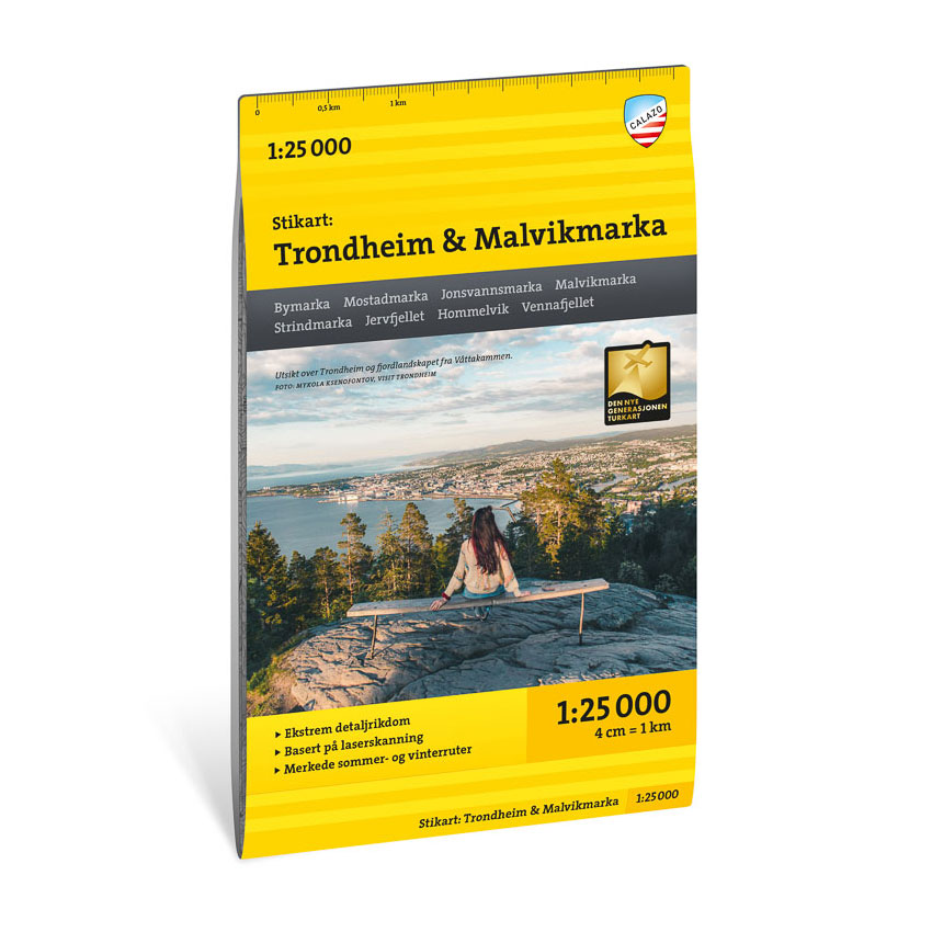

Description
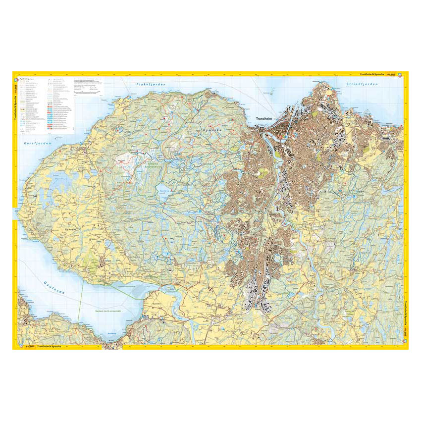
nan Bymarka, Mostadmarka, Jonsvannsmarka and Malvikmarka are criss-crossed by paths and ski trails, ski-runs in winter and well-marked hiking routes in summer. The pilgrimage routes come from all directions and point towards Nidaros Cathedral. Also well marked on the map are bathing areas, recreational areas with universal design and popular hikes and viewpoints. The map Trondheim and Malvikmarka is published by Calazo förlag, after input from key hiking and outdoor life players in the region. This is part of a modern map series where the terrain information is based on , which provides great detail with an almost three-dimensional impression. The map includes all marked hiking routes, ski trails, swimming spots and kayak rentals throughout the coverage area, and is intended for year-round use. Map on both sides: 70×100 cm. Updated: May 2022
Calazo Förlag is a Swedish publishing house specializing in maps and books for outdoor life in the Nordic region.
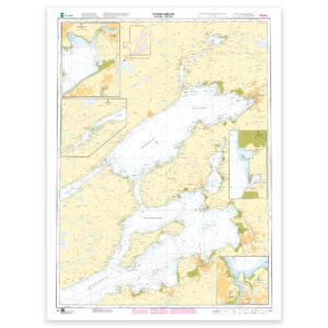
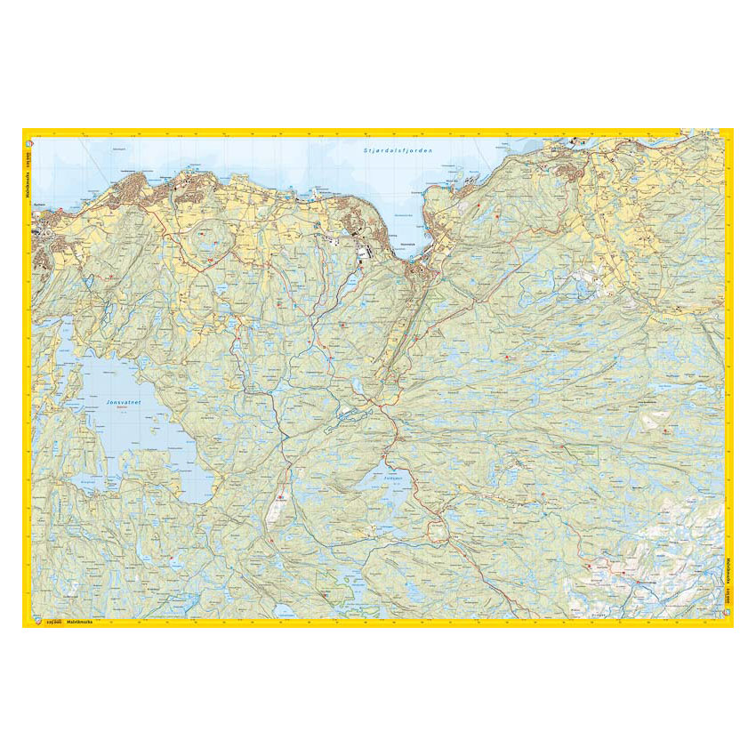
Here you can see the area the map covers:
The map is released in 2022.