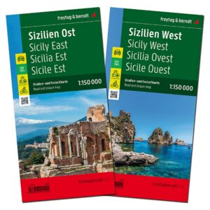
Description
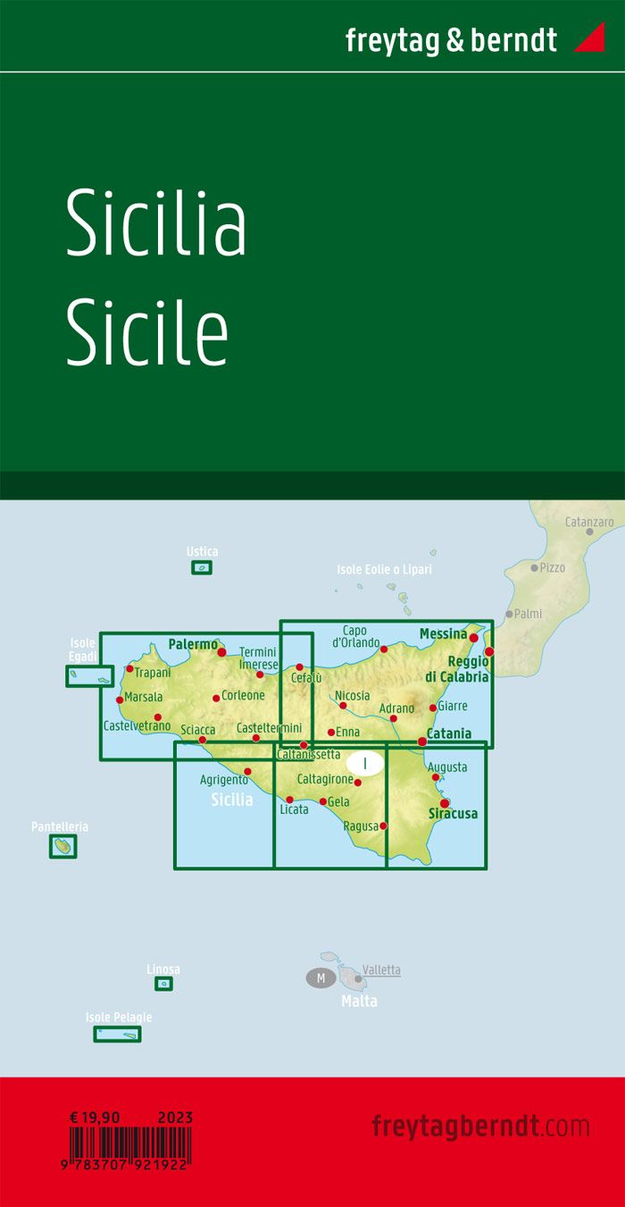
This map set covers Sicily and provides a detailed overview of the island’s road network, landscape and main destinations. The map is suitable for both planning and executing trips, and provides a solid basis for exploring the region by car.
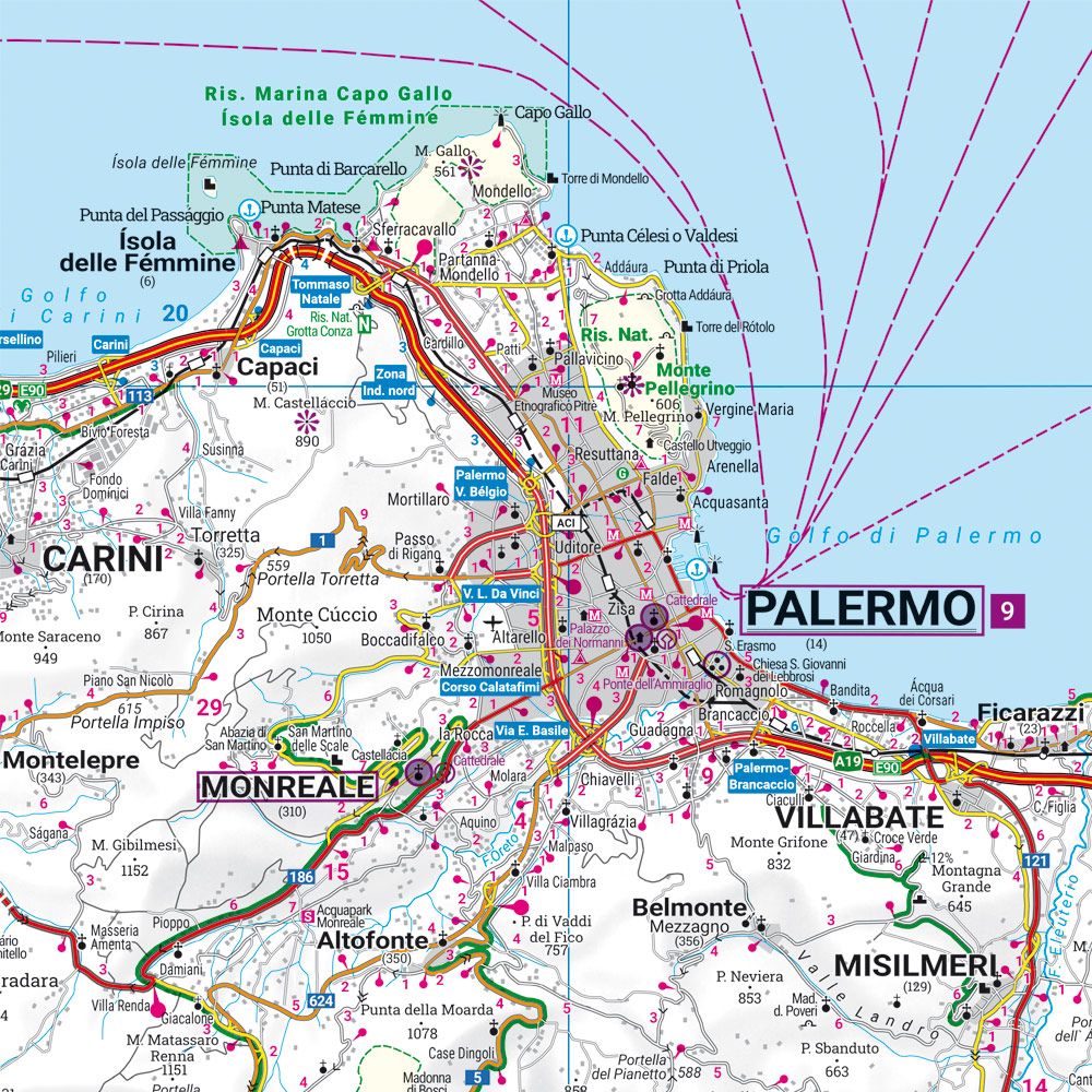
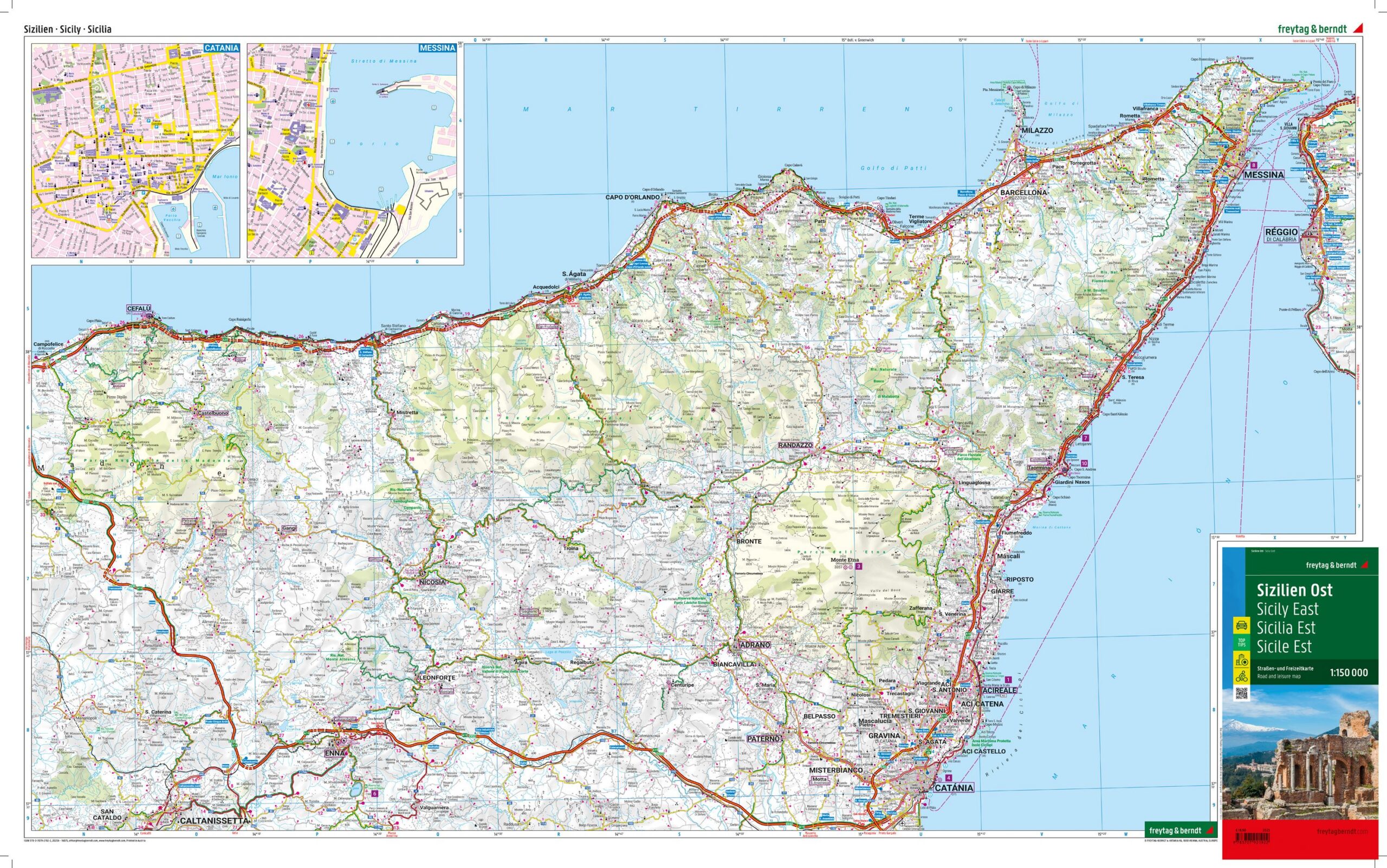
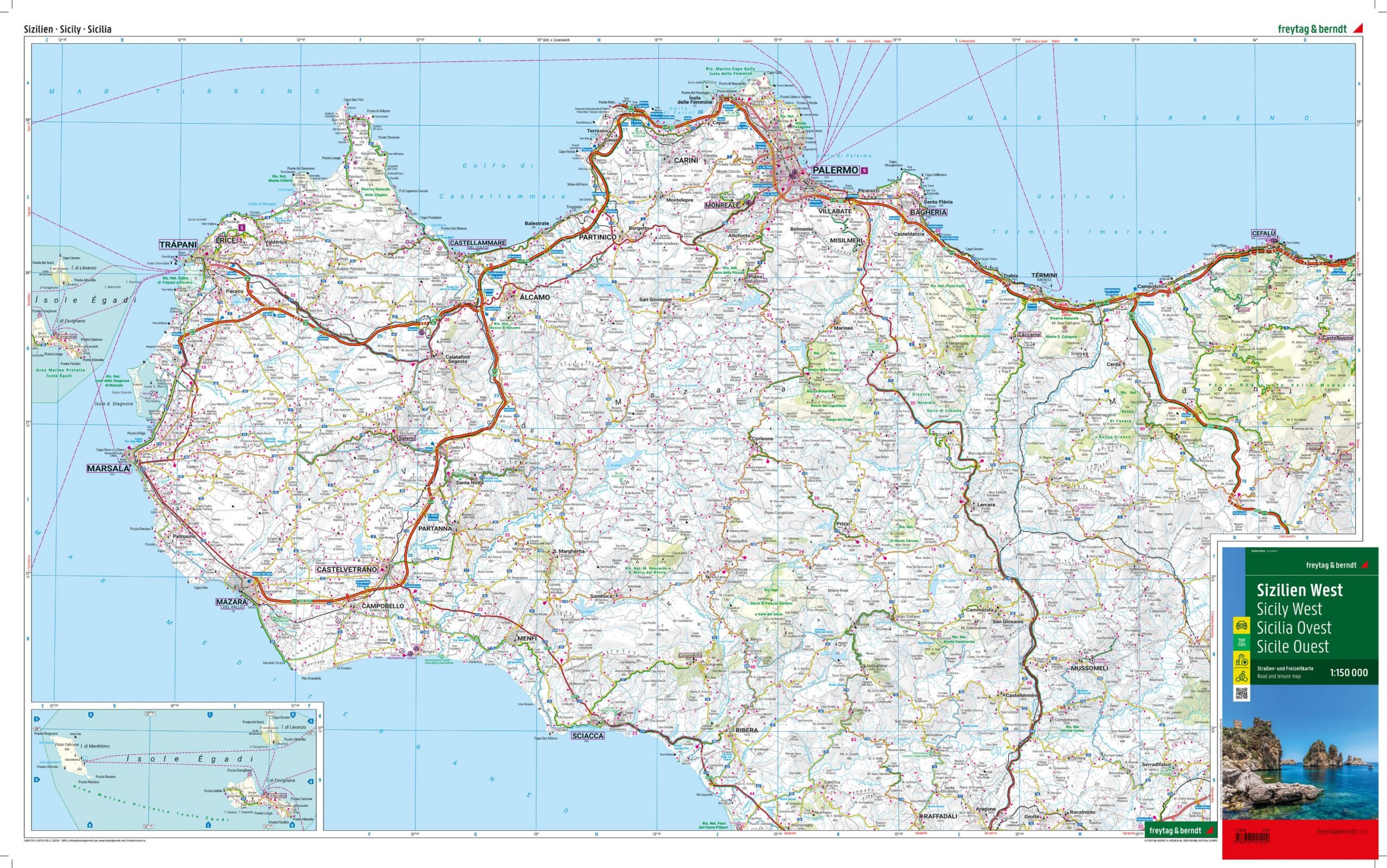
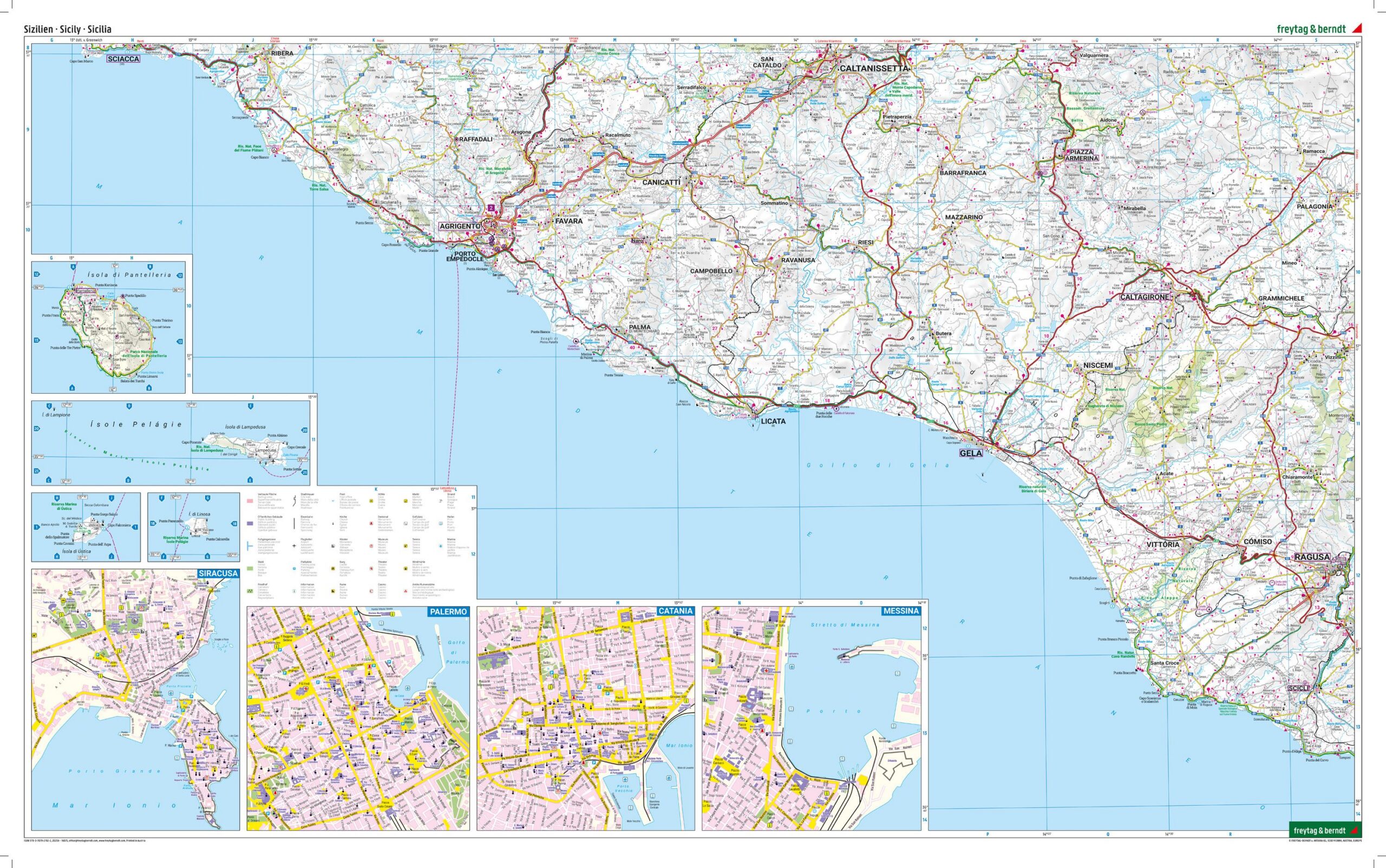
The map set consists of two map sheets that together provide a comprehensive coverage of the entire island, making it convenient both when planning and traveling. The map image shows a fine-meshed network of main roads and smaller connections, making it possible to plan both efficient routes and more scenic alternatives. Tourist information and sights are integrated into the map, providing great support for planning a varied journey.
In addition, the map contains information about camping and motorhome sites, as well as routes that may also be relevant for bike-based exploration. The map set comes with an information booklet with selected recommendations, and also includes city maps that make it easier to find your way around larger cities on the island. The clear cartography provides a good balance between detail and overview.
Release year: 2023.