Description
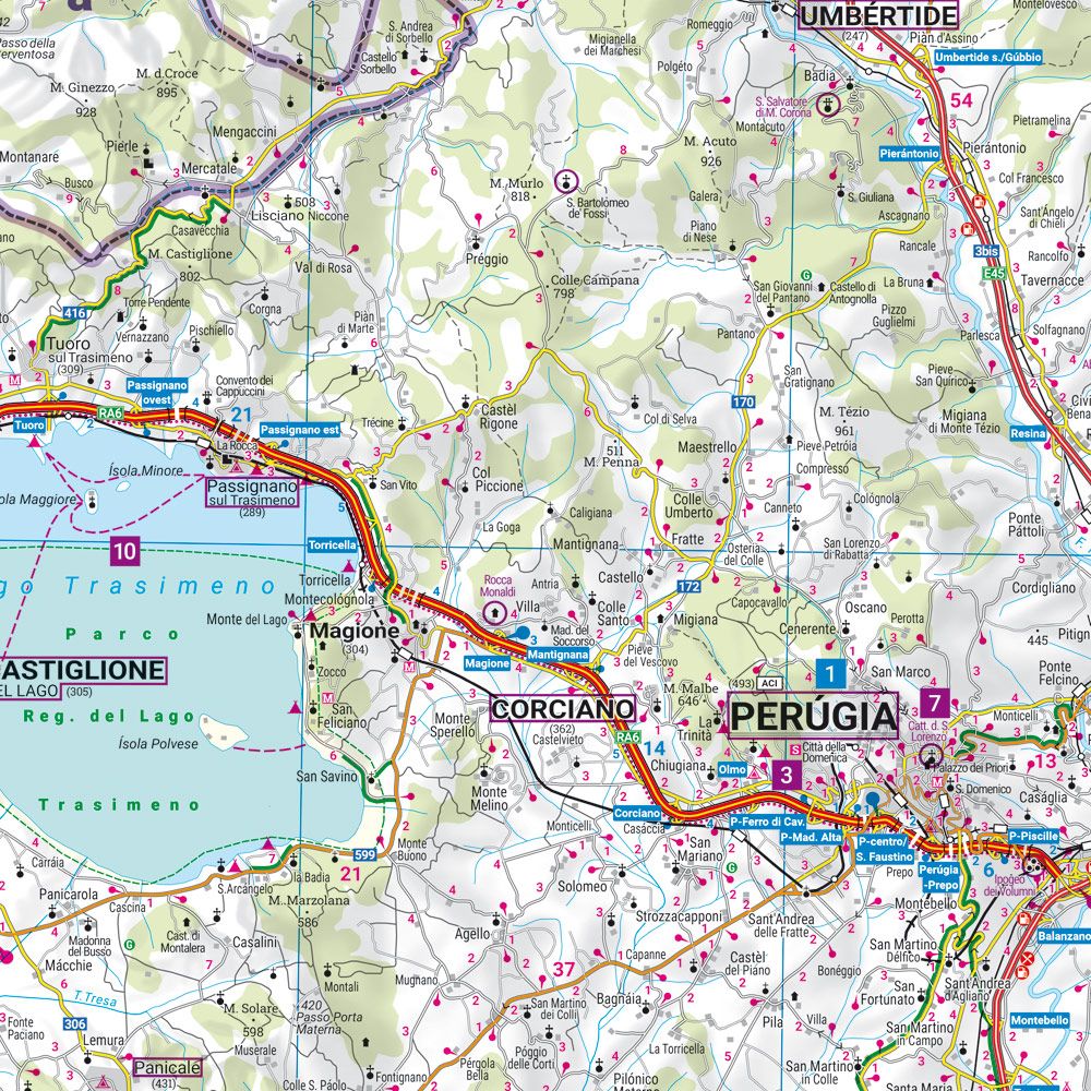
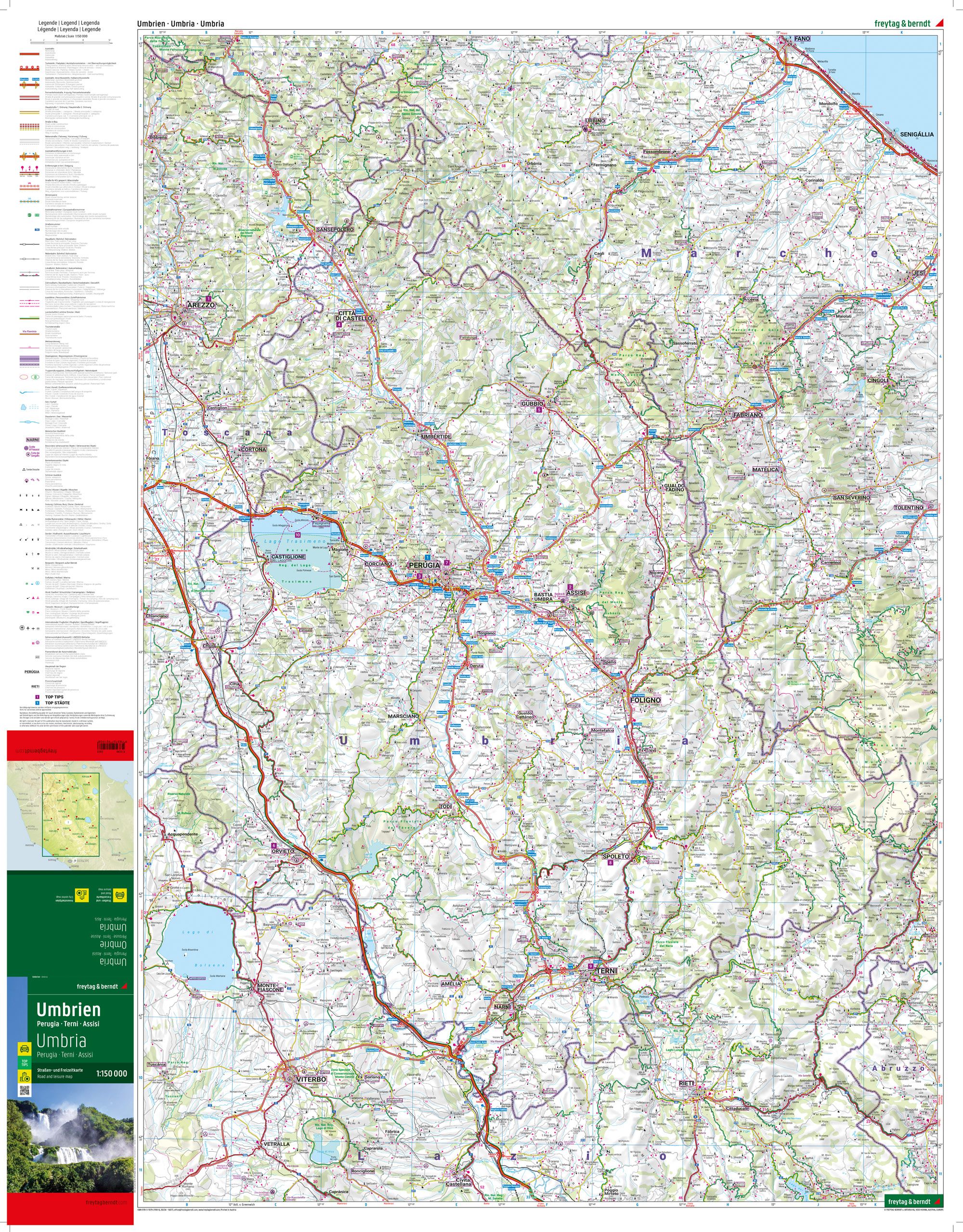
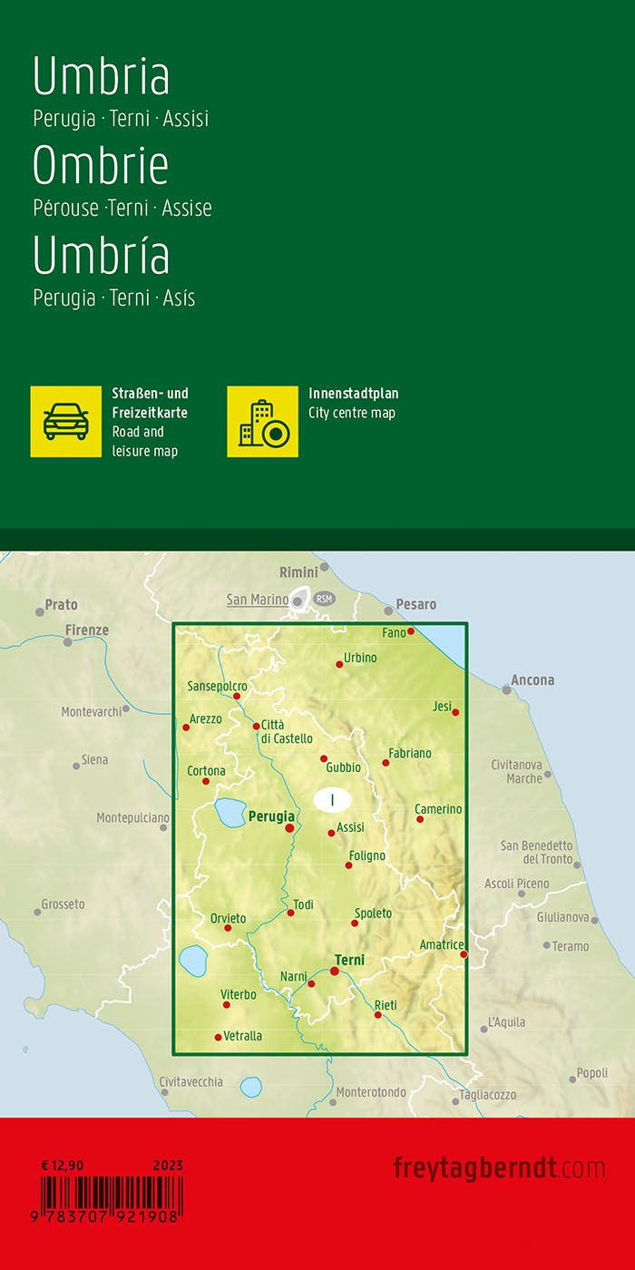
This road map covers Umbria in central Italy, including the areas around Perugia, Terni and Assisi, and provides a detailed overview of the region’s road network and landscape. The map is suitable for both planning and executing journeys and provides a solid basis for exploring the area by car.
The map depicts a fine-meshed network of main roads and smaller connections, making it possible to plan both efficient routes and more scenic alternatives through the hilly landscape. Tourist information and points of interest are integrated into the map, providing good support for planning a varied journey. Camping and RV sites are also marked, providing extra flexibility for travelers.
The map includes a city map of Perugia, making it easier to find your way around the region’s main urban area. The clear cartography strikes a good balance between detail and overview, making the map suitable for both planning and on-the-go use.
Release year: 2023.