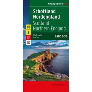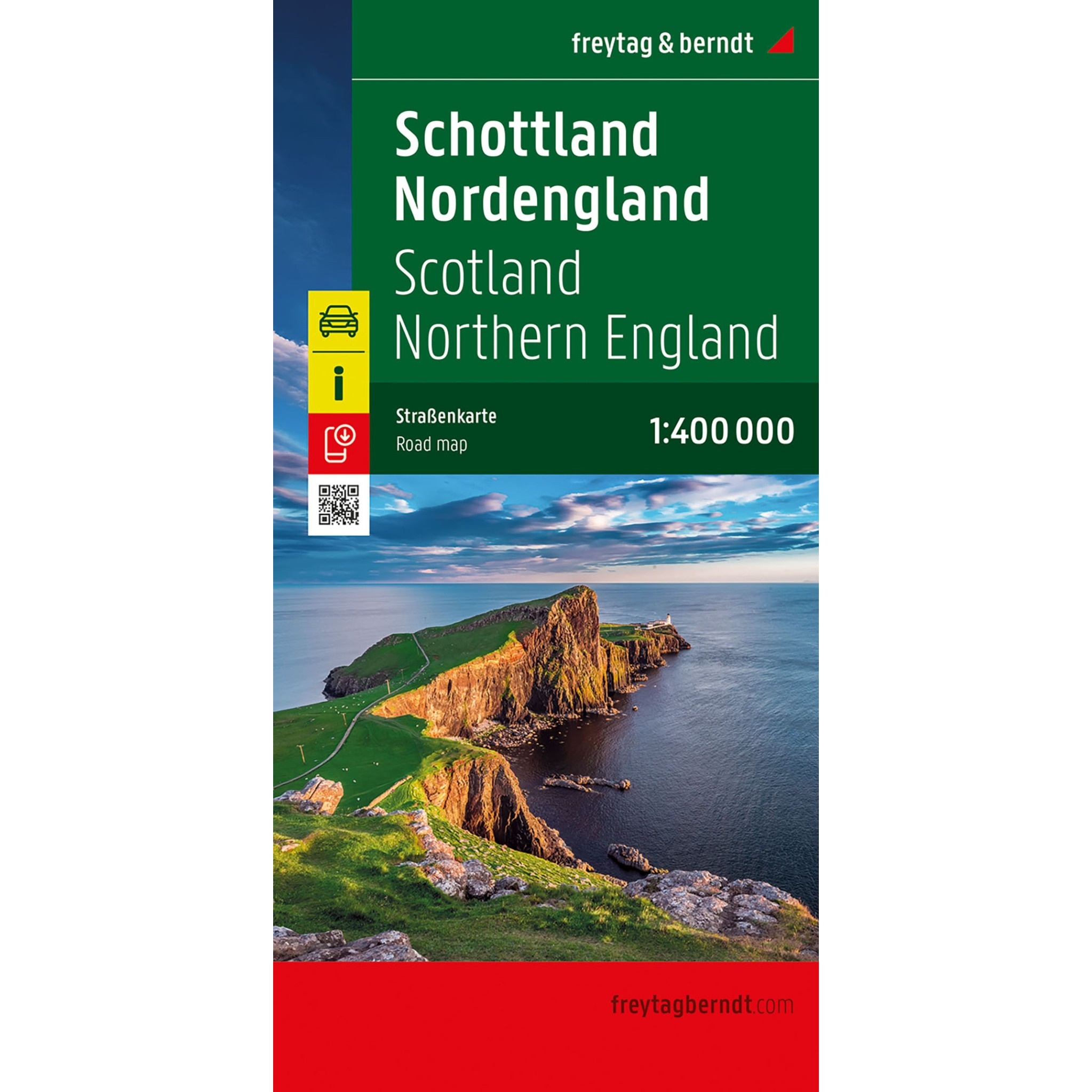
Description
Covering Scotland and the North of England, this road map provides a detailed and clear representation of the region’s road network and landscape. The map is well suited to both planning and undertaking journeys, and provides a solid basis for exploring the area by car.
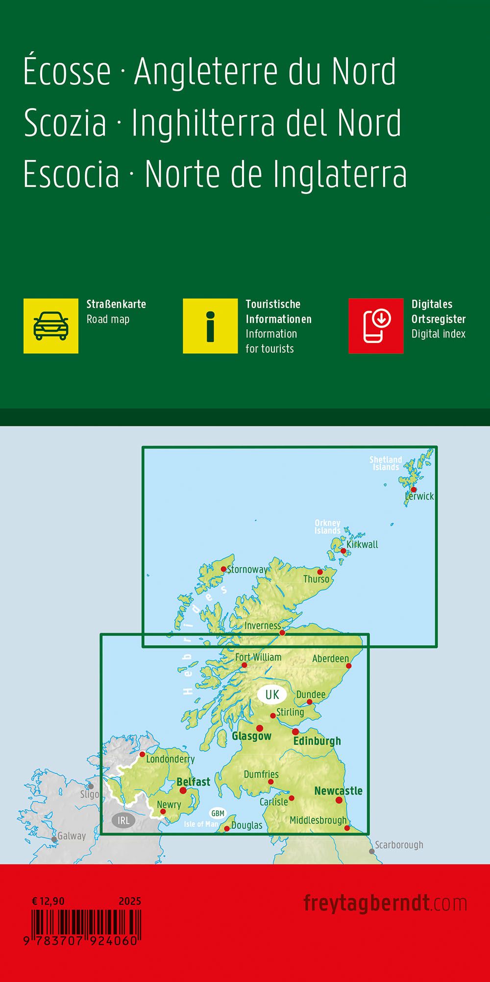
The map shows a fine-meshed network of main roads and smaller connections, making it possible to plan both efficient routes and more scenic drives. Distances between locations are indicated and viewpoints and tourist destinations are marked, making it easier to plan a varied journey. The map also includes information on campsites, providing additional flexibility for travelers.
The clear cartography strikes a good balance between detail and overview, making the map easy to use both before and during your trip. A city map of Edinburgh provides additional support for navigating the region’s main urban areas, and a comprehensive location index makes it easy to find your desired destinations.
Release year: 2025.