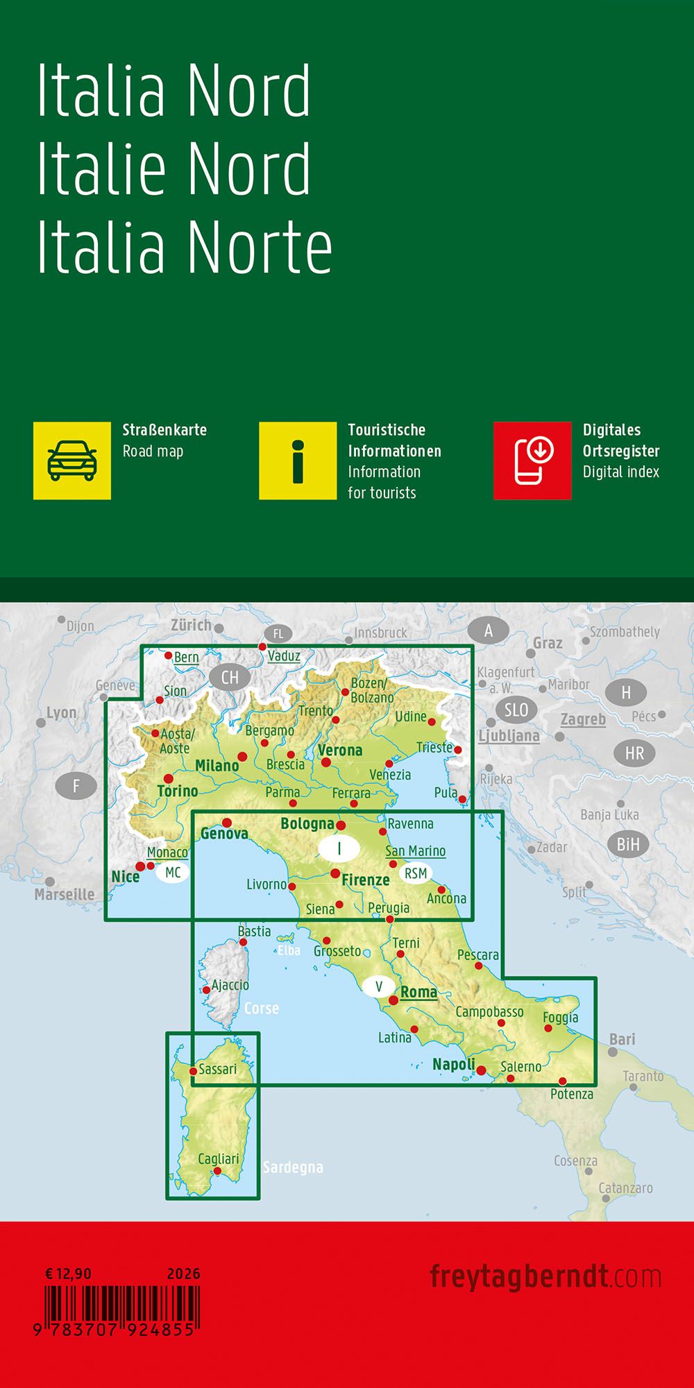
Description
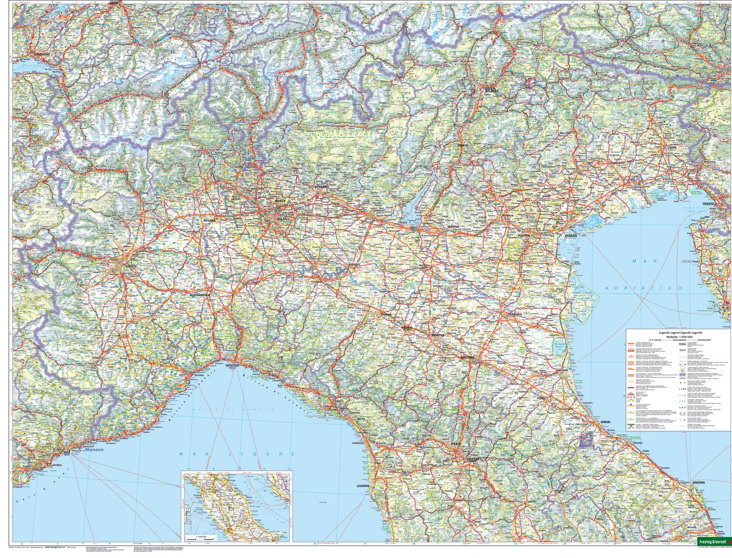
Covering northern Italy, this road map provides a detailed and clear representation of the region from the Alps in the north and south to the area around Siena. The map is well suited to both planning and executing journeys, providing a solid foundation for navigating through some of Italy’s most varied landscapes.
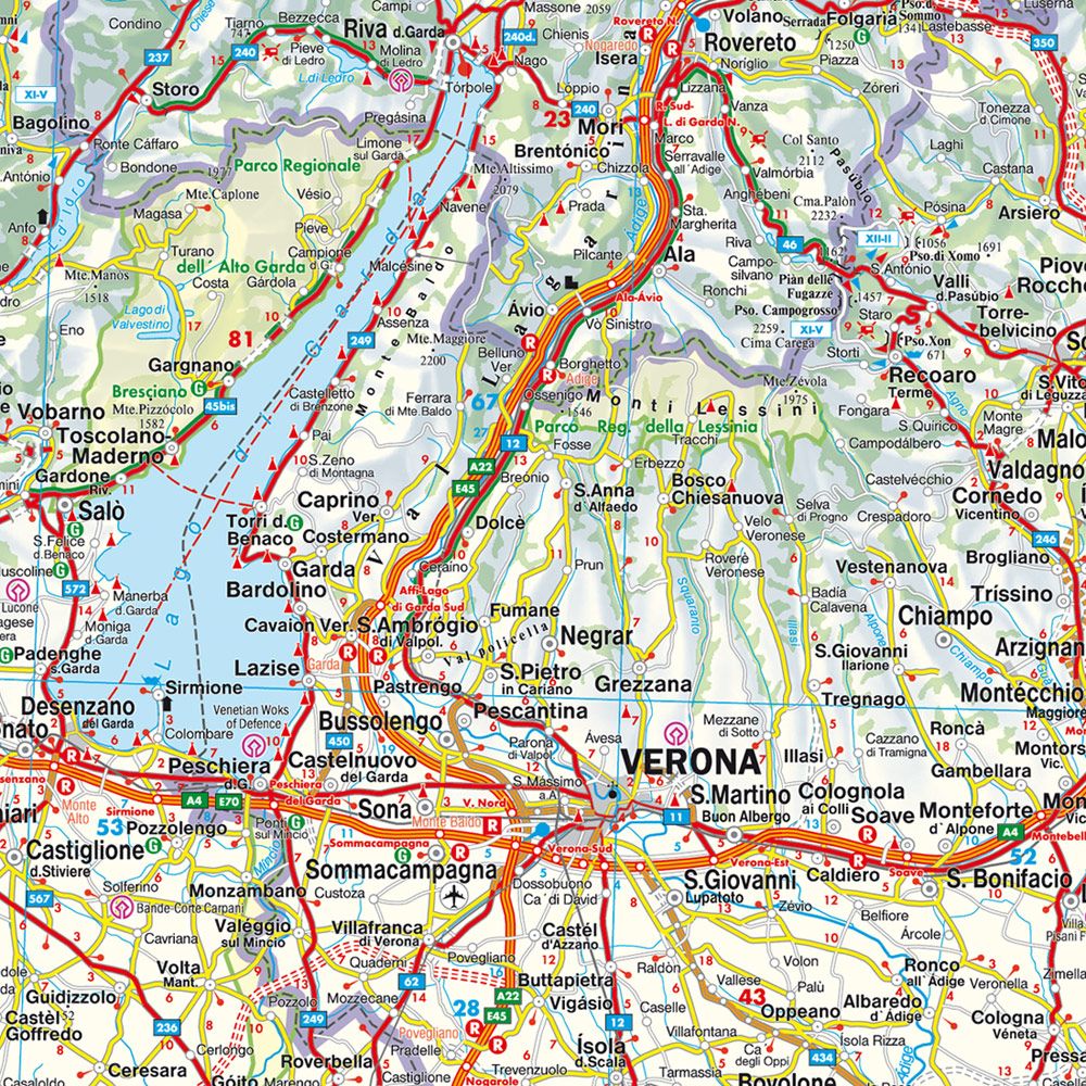
The map depicts a fine-meshed road network with both main roads and smaller connections, making it possible to plan both efficient routes and more scenic alternatives. Scenic stretches are highlighted, and a number of tourist destinations and sights are marked, making it easier to plan a varied journey. The map also includes information on campsites and viewpoints, providing extra value for travelers who want flexibility along the way.
The clear cartography provides good readability and an overview of an area with great geographical variation, from mountainous areas to lowlands and historic cities. With the addition of city maps for selected areas, the map serves both as a planning tool and as a practical travel aid.
Release year: 2026.