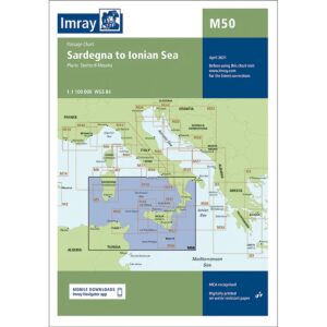
Description
Imray M50 Sardinia to Ionian Sea is an overview chart that covers sailing from Sardinia and Sicily, through the Tyrrhenian Sea and on to the Ionian Sea and the west coast of Greece. The map is particularly suitable for planning longer legs and sea voyages in the Mediterranean.
The map shows main routes, major sea areas and central coastal stretches, and serves as a strategic supplement to more detailed coastal and harbor charts. It is useful both for planning ahead of sailing and as an overview reference on board.
Like other Imray maps, M50 is produced according to WGS 84 datum and printed on durable, water-resistant paper. The map can be used with electronic navigation systems and the Imray Navigator app.