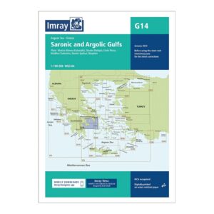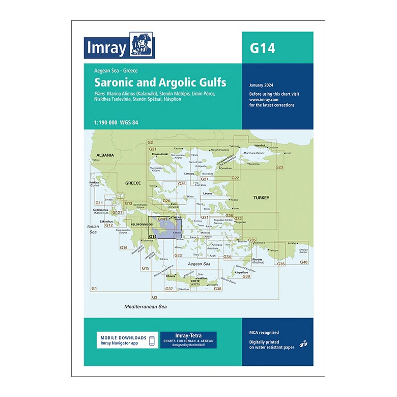
Description
This overview chart from Imray covers the Saronic and Argolic Bays in the southern Aegean Sea, providing a comprehensive regional overview of a very popular sailing area in Greece. The map extends from the Athens area and south through the Saronic Gulf, further into the Argolic Gulf towards Náfplio and surrounding ports.
The map includes plan views and approaches to Marína Álimos (Kalamáki), Stenón Metópis, Liménas Póros, Nísidhes Tselévinia, Stenón Spetsón and Náfplion, among others. It is very suitable for route and day sailing planning, and is often used for both charter sailing and private sailing in this area.
Printed on water-resistant paper and manufactured to MCA approved standards, with support for digital updates via the Imray Navigator app.