Description
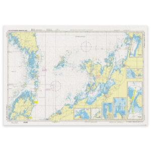
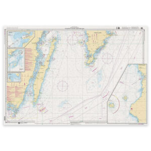
SE 71 Utlängan – Öland – Gotland South is an official coastal chart for the Baltic Sea. It covers Utlängan – Öland – Gotland South at a scale of 1:250 000.
The chart includes separate panels for Ronehamn, Klintehamn Approach (1:50 000); Klintehamn (1:12 500); Kårehamn (1:10 000).
This chart provides an overview of a wider area for passage planning. Add the appropriate larger-scale charts for harbours, narrow passages and detailed coastal navigation.
Published by Sjöfartsverket, the Swedish Maritime Administration. Kart.no is an authorised dealer in Norway and supplies the latest available edition. Charts not held in stock are ordered from the publisher.
Check Sjöfartsverket’s Ufs for current editions and chart corrections.