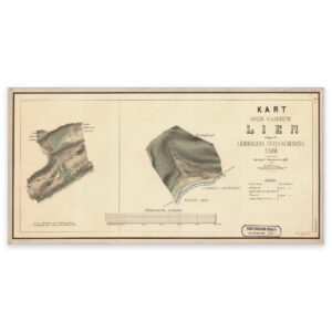
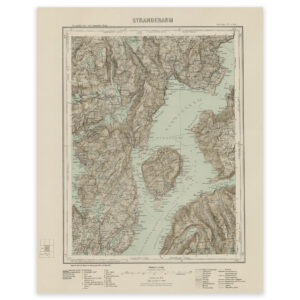

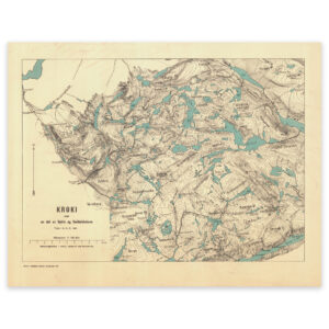
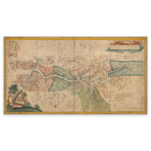
 Sognefjord 1771


Sognefjord 1771
Map of the Sognefjord from 1771, Fedje and Utvær in the west. The map is delivered in its original size of 72.4 x 39.3 cm. The size with frame and passepartout is 90.4 x 58.3 cm. Would you like the map in a different size? Just get in touch – we’ll be happy to give you a quote for customization.