Description
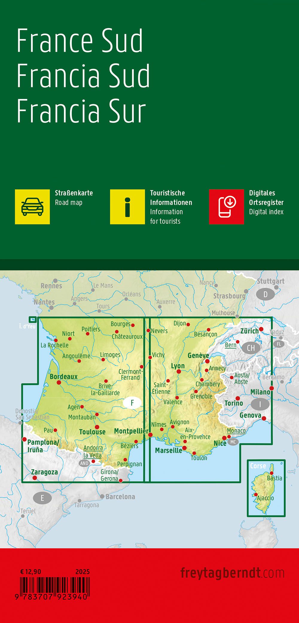
This is a clear and detailed road map of southern France, designed for travelers by car, motorcycle or motorhome. The map covers central and southern parts of the country, including Provence-Alpes-Côte d’Azur, Occitania, the Rhône Valley and Camargue, and provides a good overview of both main roads and important regional connections.
The map image is clear and easy to read, with precise reproduction of the road network and marked tourist routes. Distances, cities and a number of tourist attractions are clearly marked, making the map suitable for both route planning and practical navigation along the way. For camping and motorhome travelers, camping and caravan sites are marked directly on the map.
The map is delivered in a large, double-sided format and provides a good balance between level of detail and overview. A digital place index provides quick access to place names and can easily be opened via a QR code on the map. The map is printed in Austria and is of high cartographic quality, suitable for active travel.
The map is released in 2025.